Bolków
Located in Jawor County, Lower Silesian Voivodeship Coordinates: 50°55′14″ N 16°06′02″ E
- Population
- 10,611
- 10.6K
- Elevation
- 340 m
- above sea level
- Local time
- UTC+01:00
- Europe/Warsaw · UTC+01:00
- Places inside
- 6
- listed under Bolków
About Bolków
Bolków is a municipality. Location: Jawor County, Lower Silesian Voivodeship. Population: 10,611. Elevation: 340 m.
In comparison
- No. 2 of 6 places in Jawor County by population
- Nearest larger town: Kamienna Góra, 16 km S
- 3 sights and natural places within 10 km Bolkenhain Concentration Camp, Góra Krąglak
- Listed here: Village: 3, Historic site: 1, Mountain: 1, Town: 1
Airports nearest to Bolków
- Copernicus Wrocław Airport (WRO) Wrocław 59 km
- Pardubice Airport (PED) Pardubice 104 km
- Zielona Góra-Babimost Airport (IEG) Nowe Kramsko 137 km
Straight-line distance; airports with scheduled flights only. Source: OurAirports (public domain).
Places in Bolków
6 places-
Gmina Bolków Town5.3K
-
Wierzchosławice Village870
-
Jastrowiec Village183
-
Bolkenhain Concentration Camp Historic site
-
Mysłów Village
-
Różanka Mountain
Nearby attractions & nature
Everything nearby-
Góra Krąglak Mountain, Gmina Marciszów9.3 km S
-
Merzdorf Concentration Camp Historic site, Gmina Marciszów10 km SW
-
Jagodnik Mountain, Stare Bogaczowice11 km SE
-
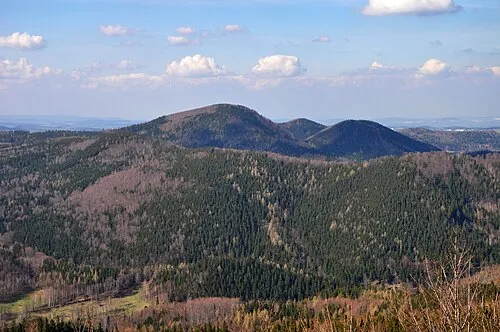 Góry Wałbrzyskie Mountain, Poland14 km S
-
Góry Lisie Mountain, Gmina Marciszów12 km SW
-
Góra Wały Mountain, Stare Bogaczowice12 km SE
-
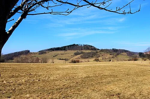 Dudziarz Mountain, Janowice Wielkie13 km W
-
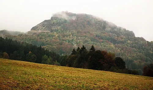 Połom Mountain, Wojcieszów14 km W
Sources & licences
Data last updated: