Jawor County
Located in Lower Silesian Voivodeship, Poland Coordinates: 51°02′23″ N 16°09′49″ E
- Population
- 50,315
- 50.3K
- Elevation
- 202 m
- above sea level
- Local time
- UTC+01:00
- Europe/Warsaw · UTC+01:00
- Places inside
- 6
- listed under Jawor County
About Jawor County
Jawor County is a district. Location: Lower Silesian Voivodeship, Poland. Population: 50,315.
In comparison
- Listed here: Municipality: 6
Places in Jawor County
6 places-
Jawor Municipality23.3K
-
Bolków Municipality10.6K
-
Gmina Męcinka Municipality5K
-
Gmina Mściwojów Municipality4.1K
-
Gmina Wądroże Wielkie Municipality4K
-
Gmina Paszowice Municipality4K
Nature and heritage in Jawor County
-
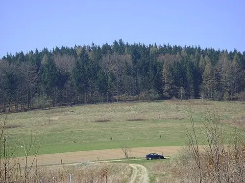
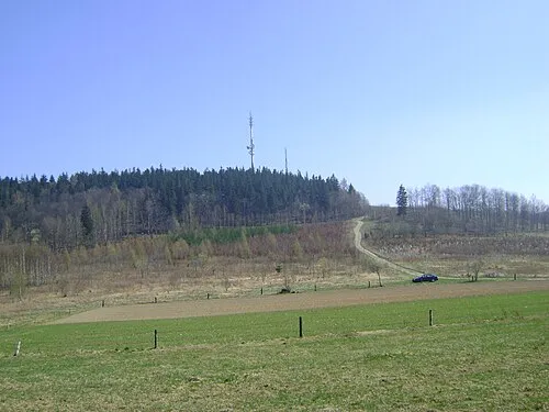
Różanka Mountain, Bolków
-
Bolkenhain Concentration Camp Historic site, Bolków
-
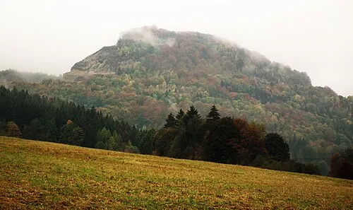
Gora Trupien Mountain, Gmina Męcinka
Nearby attractions & nature
Everything nearby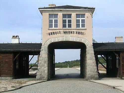
Sources & licences
Data last updated: