- Elevation
- 448 m
- above sea level
- Local time
- UTC+01:00
- Europe/Warsaw · UTC+01:00
- Airports
- WRO Copernicus Wrocław Airport65 km
- PED Pardubice Airport118 km
About Gora Trupien
Gora Trupien is a mountain. Location: Gmina Męcinka, Jawor County. Elevation: 448 m. The best months to visit are June–August. The nearest airport is Copernicus Wrocław Airport (65 km). Nearby sights include Okole and Ostrzyca.
Climate of Gora Trupien
Best months for sightseeingBest months for sightseeing: June–August.
This month · November
A cold month
Day 5° · Night -1° · Rain 38 mm
- Hottest month
- August (day 21°)
- Coldest month
- January (night -7°)
- Wettest month
- July (82 mm)
- Driest month
- February (26 mm)
Bars: average monthly low and high temperature. Below: precipitation. Monthly averages for 1970–2000 at about 18 km resolution, adjusted for elevation. Highlighted months are mild and relatively dry. Source: WorldClim 2.1 (CC BY 4.0).
Show values as a table
| Month | Jan | Feb | Mar | Apr | May | Jun | Jul | Aug | Sep | Oct | Nov | Dec |
|---|---|---|---|---|---|---|---|---|---|---|---|---|
| Average high (°C) | -1° | 1° | 6° | 11° | 16° | 19° | 21° | 21° | 17° | 12° | 5° | 0° |
| Average low (°C) | -7° | -6° | -2° | 2° | 6° | 9° | 11° | 10° | 7° | 4° | -1° | -5° |
| Precipitation (mm) | 30 | 26 | 32 | 40 | 57 | 70 | 82 | 71 | 45 | 39 | 38 | 40 |
How to get to Gora Trupien
The nearest airport is Copernicus Wrocław Airport (WRO), 65 km to the east as the crow flies. The nearest large city is Prague, 154 km to the southwest.
Airports
- Copernicus Wrocław Airport (WRO) Wrocław 65 kmeast
- Pardubice Airport (PED) Pardubice 118 kmsouth
- Zielona Góra-Babimost Airport (IEG) Nowe Kramsko 120 kmnorth
Nearby large cities
- Prague Population: 1.2M 154 kmsouthwest
- Dresden Population: 564.9K 155 kmwest
- Chemnitz Population: 247.2K 214 kmwest
- Brno Population: 404.3K 213 kmsouth
- Berlin Population: 3.4M 239 kmnorthwest
Straight-line distances; road distances are longer. Airport data: OurAirports.
Day trips from Gora Trupien
Within 100 km: 91 historic and cultural sites, 576 natural sites, 22 lakes, rivers and coasts.
0–25 km25 places
- Okole Mountain 13 kmSW
- Grodziec Mountain 18 kmNW
- Łysa Góra Mountain 16 kmSW
- Wapienna Mountain 21 kmSW
25–60 km215 places
- Tvarožník Mountain 44 kmSW
- Jastrzębiec Mountain 38 kmSW
- Bielec Mountain 27 kmS
- Parkowa Mountain 29 kmS
60–100 km449 places
- Lysá Mountain 100 kmSW
- Baranek Wawrzyn Mountain 73 kmNE
- Speicherbecken Quitzdorf Lake 86 kmW
- Großteich Lake 87 kmW
Straight-line distances.
Nearest towns and villages
-
Wilków Village, Złotoryja3.2 km NW
-
Gmina Świerzawa Municipality, Złotoryja County6.6 km SW
-
Złotoryja Municipality, Złotoryja County6.6 km N
-
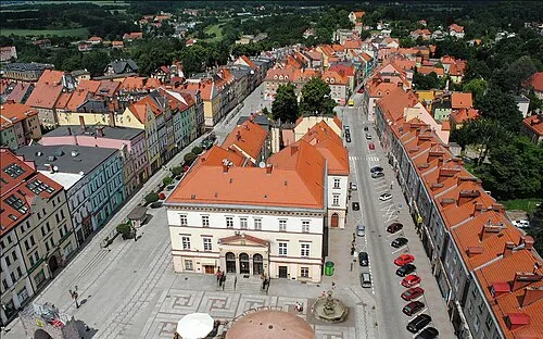 Złotoryja Town, Złotoryja7 km N
-
Świerzawa Village, Gmina Świerzawa7 km SW
-
Sędziszowa Village, Gmina Świerzawa6.9 km SW
Nearby attractions & nature
Everything nearby-
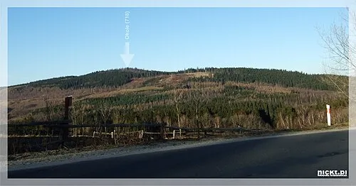 Okole Mountain, Gmina Jeżów Sudecki13 km SW
-
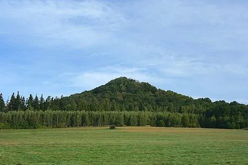 Ostrzyca Mountain, Pielgrzymka13 km W
-
Leśniak Mountain, Gmina Świerzawa14 km SW
-
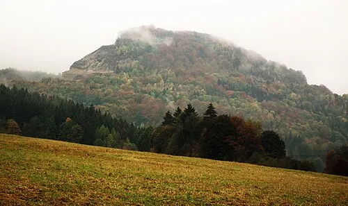 Połom Mountain, Wojcieszów14 km S
-
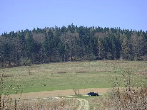 Skopiec Mountain, Janowice Wielkie14 km S
-
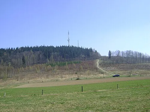 Baraniec Mountain, Janowice Wielkie15 km S
-
Widok Mountain, Gmina Jeżów Sudecki15 km SW
-
Ziemski Kopczyk Mountain, Janowice Wielkie15 km S
Sources & licences
Data last updated: · 2 independent sources