Świdnica County
Located in Lower Silesian Voivodeship, Poland Coordinates: 50°52′14″ N 16°25′50″ E
- Population
- 157,178
- 157.2K
- Elevation
- 248 m
- above sea level
- Local time
- UTC+01:00
- Europe/Warsaw · UTC+01:00
- Places inside
- 8
- listed under Świdnica County
About Świdnica County
Świdnica County is a district. Location: Lower Silesian Voivodeship, Poland. Population: 157,178.
In comparison
- Listed here: Municipality: 8
Places in Świdnica County
8 places-
Świdnica Municipality57.7K
-
Strzegom Municipality26.1K
-
Świebodzice Municipality22.8K
-
Świdnica Municipality17.1K
-
Gmina Żarów Municipality12.5K
-
Jaworzyna Śląska Municipality10.3K
-
Marcinowice Municipality6.5K
-
Dobromierz Municipality5.3K
Nature and heritage in Świdnica County
-
Groß-Rosen Concentration Camp Historic site, Strzegom
-
Gräben Concentration Camp Historic site, Strzegom
Nearby attractions & nature
Everything nearby-
Fürstenstein Concentration Camp Historic site, Wałbrzych10 km W
-
Kielczyńskie Góry Mountain, Lower Silesian Voivodeship15 km E
-
Góra Wały Mountain, Stare Bogaczowice12 km W
-
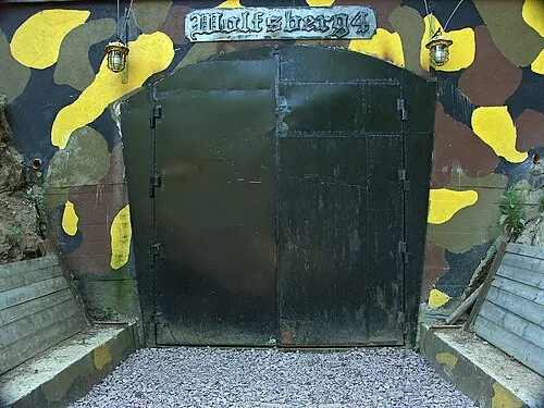 Włodarz Mountain, Głuszyca19 km S
-
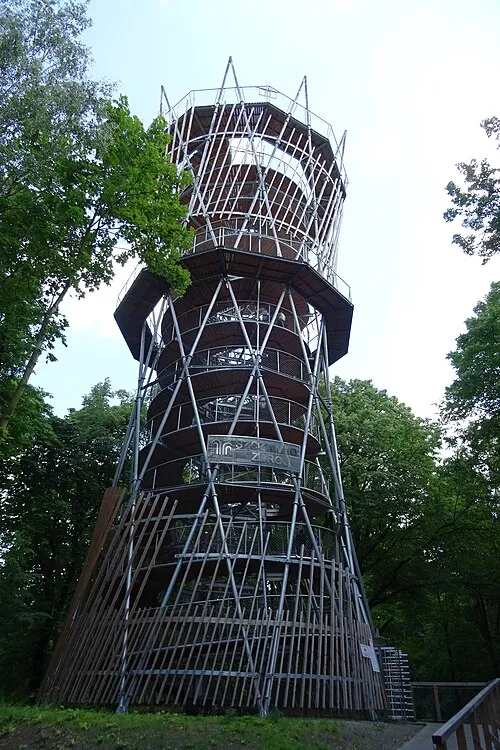 Wzgórze Gedymina Mountain, Szczawno-Zdrój14 km SW
-
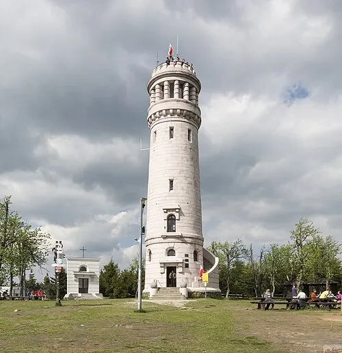 Wielka Sowa Mountain, Pieszyce22 km S
Sources & licences
Data last updated: