Zgorzelec County
Located in Lower Silesian Voivodeship, Poland Coordinates: 51°09′47″ N 15°04′43″ E
- Population
- 89,612
- 89.6K
- Elevation
- 209 m
- above sea level
- Local time
- UTC+01:00
- Europe/Warsaw · UTC+01:00
- Places inside
- 7
- listed under Zgorzelec County
About Zgorzelec County
Zgorzelec County is a district. Location: Lower Silesian Voivodeship, Poland. Population: 89,612.
In comparison
- 4 sights and natural places within 10 km Görlitz Concentration Camp, Schafberg
- Listed here: Municipality: 7
Places in Zgorzelec County
7 placesNearby attractions & nature
Everything nearby-
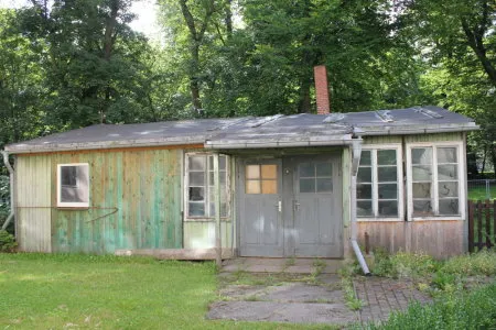 Görlitz Concentration Camp Historic site, Görlitz6.1 km W
-
Schafberg Mountain, Görlitz7 km W
-
Early Camp Leschwitz Historic site, Görlitz8.2 km SW
-
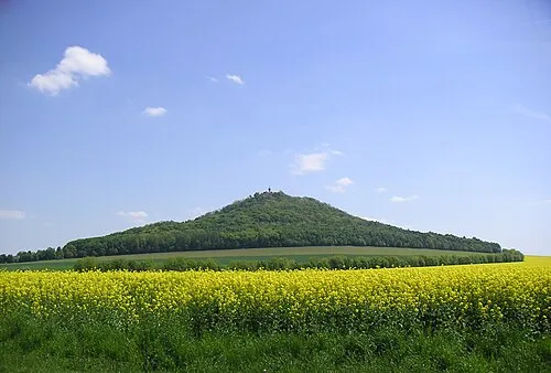 Landeskrone Mountain, Görlitz11 km W
-
Galgenberg Mountain, Görlitz8.6 km NW
-
Kapellenberg Mountain, Schöpstal11 km W
Sources & licences
Data last updated: