Pruszków County
Located in Masovian Voivodeship, Poland Coordinates: 52°06′03″ N 20°48′36″ E
- Population
- 162,922
- 162.9K
- Elevation
- 107 m
- above sea level
- Local time
- UTC+01:00
- Europe/Warsaw · UTC+01:00
- Places inside
- 6
- listed under Pruszków County
About Pruszków County
Pruszków County is a district. Location: Masovian Voivodeship, Poland. Population: 162,922.
Pruszków County (Polish: powiat pruszkowski) is a unit of territorial administration and local government (powiat) in Masovian Voivodeship, east-central Poland. It came into being on January 1, 1999, as a result of the Polish local government reforms passed in 1998. Its administrative seat and largest town is Pruszków, which lies 15 kilometres (9 mi) west of Warsaw. The county also contains the towns of Piastów, lying 4 km (2 mi) north-east of Pruszków, and Brwinów, 7 km (4 mi) south-west of Pruszków.
Read more on Wikipedia Text: Wikipedia contributors · CC BY-SA 4.0 · shortened
At a glance
- Built
- 1999
- Area
- 246 km²
Source: Wikidata
In comparison
- Listed here: Municipality: 6
Places in Pruszków County
6 places-
Pruszków Municipality61.2K
-
Brwinów Municipality26.2K
-
Piastów Municipality22.7K
-
Gmina Raszyn Municipality21.6K
-
Gmina Michałowice Municipality17.8K
-
Nadarzyn Municipality13.3K
Nearby attractions & nature
Everything nearby-
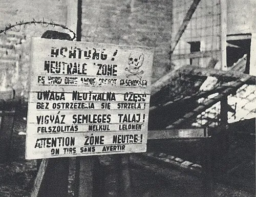 Warsaw Concentration Camp Historic site, Śródmieście20 km NE
-
Fort Solipse Ghetto Historic site, Włochy13 km NE
-
Tarczyn Ghetto Historic site, Gmina Tarczyn15 km S
-
Falenica-Miedzeszyn Ghetto Historic site, Wawer24 km E
-
Jeziorna Królewska Ghetto Historic site, Gmina Konstancin-Jeziorna20 km E
-
Błonie Ghetto Historic site, Błonie17 km NW
Sources & licences
Data last updated: · 2 independent sources