Żyrardów County
Located in Masovian Voivodeship, Poland Coordinates: 52°00′01″ N 20°25′58″ E
- Population
- 76,056
- 76.1K
- Elevation
- 142 m
- above sea level
- Local time
- UTC+01:00
- Europe/Warsaw · UTC+01:00
- Places inside
- 5
- listed under Żyrardów County
About Żyrardów County
Żyrardów County is a district. Location: Masovian Voivodeship, Poland. Population: 76,056.
Żyrardów County (Polish: powiat żyrardowski) is a unit of territorial administration and local government (powiat) in Masovian Voivodeship, east-central Poland. It came into being on 1 January 1999, as a result of the Polish local government reforms passed in 1998. Its administrative seat and largest town is Żyrardów, which lies 43 kilometres (27 mi) south-west of Warsaw. The only other town in the county is Mszczonów, lying 11 km (7 mi) south-east of Żyrardów.
Read more on Wikipedia Text: Wikipedia contributors · CC BY-SA 4.0 · shortened
At a glance
- Area
- 533 km²
Source: Wikidata
In comparison
- 2 sights and natural places within 10 km Żyrardów Ghetto, Mszczonów Ghetto
- Listed here: Municipality: 5
Airports nearest to Żyrardów County
- Warsaw Chopin Airport (WAW) Warsaw 41 km
- Warsaw Modlin Airport (WMI) Nowy Dwór Mazowiecki 52 km
- Łódź Władysław Reymont Airport (LCJ) Łódź 78 km
Straight-line distance; airports with scheduled flights only. Source: OurAirports (public domain).
Places in Żyrardów County
5 places-
Żyrardów Municipality40.2K
-
Gmina Mszczonów Municipality11.6K
-
Gmina Wiskitki Municipality9.9K
-
Puszcza Mariańska Municipality8.6K
-
Gmina Radziejowice Municipality5.7K
Nature and heritage in Żyrardów County
-
Mszczonów Ghetto Historic site, Gmina Mszczonów
-
Żyrardów Ghetto Historic site, Gmina Wiskitki
Nearby attractions & nature
Everything nearby-
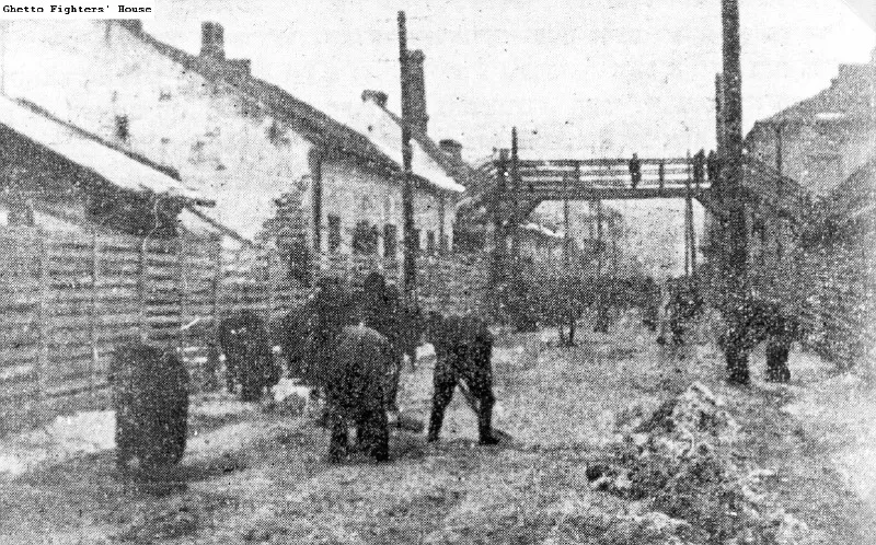 Skierniewice Ghetto Historic site, Skierniewice20 km W
-
Biała Rawska Ghetto Historic site, Biała Rawska22 km S
-
Bolimów Ghetto Historic site, Gmina Bolimów20 km NW
Sources & licences
Data last updated: · 2 independent sources