Gmina Biała
Located in Prudnik County, Opole Voivodeship Coordinates: 50°23′02″ N 17°40′13″ E
- Population
- 10,647
- 10.6K
- Elevation
- 231 m
- above sea level
- Local time
- UTC+01:00
- Europe/Warsaw · UTC+01:00
- Places inside
- 3
- listed under Gmina Biała
About Gmina Biała
Gmina Biała is a municipality. Location: Prudnik County, Opole Voivodeship. Population: 10,647. Elevation: 231 m.
In comparison
- No. 3 of 4 places in Prudnik County by population
- Nearest larger town: Prudnik, 11 km SW
- Listed here: Village: 3
Places in Gmina Biała
3 places-
Biała Prudnicka Village2.6K
-
Brzeźnica Village281
-
Rostkowice Village184
Nearby attractions & nature
Everything nearby-
Neustadt Concentration Camp Historic site, Prudnik9.8 km SW
-
Kobylica Mountain, Prudnik14 km SW
-
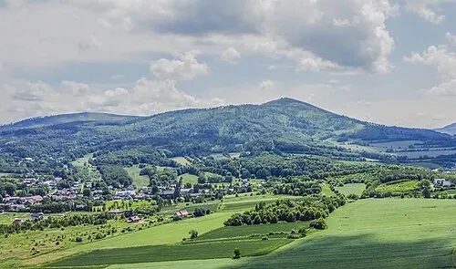 Biskupská kupa Mountain, Moravian-Silesian Region22 km SW
-
Długota Mountain, Prudnik15 km SW
-
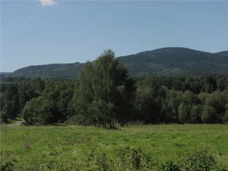 Srebrna Kopa Mountain, Janov21 km SW
-
Młyńska Góra Mountain, Prudnik17 km SW
-
Olszak Mountain, Głuchołazy18 km SW
-
Zamkowa Góra Mountain, Głuchołazy19 km SW
Sources & licences
Data last updated: