Biskupská kupa
Located in Moravian-Silesian Region, Czechia Coordinates: 50°15′24″ N 17°25′43″ E
- Elevation
- 890 m
- above sea level
- Local time
- UTC+01:00
- Europe/Prague · UTC+01:00
- Airports
- OSR Leoš Janáček Airport Ostrava79 km
- WRO Copernicus Wrocław Airport102 km
About Biskupská kupa
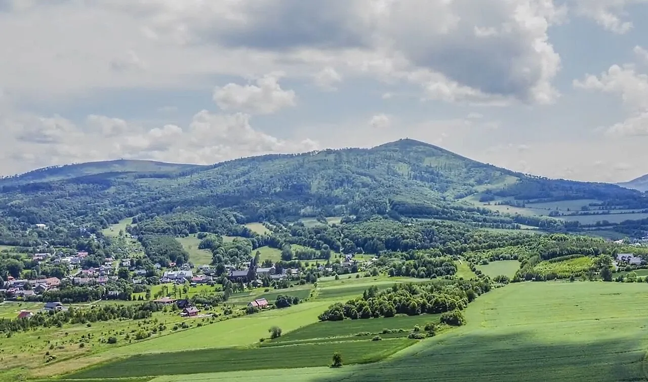
Biskupská kupa is a mountain. Location: Moravian-Silesian Region, Czechia. Elevation: 890 m.
Biskupia Kopa (Czech: Biskupská kupa, German: Bischofskoppe) is a mountain in the crest of the Opawskie Mountains, eastern part of the Sudetes, lying on the border between Poland and the Czech Republic. It belongs to the Crown of Polish Mountains and is the highest reaching point of the Opole Voivodeship. It's about 13 kilometres (8 mi) away from the closest county town of Prudnik. The Biskupia Kopa massif is built of Devonian sedimentary rocks – sandstone and slate.
Source: Wikipedia · CC BY-SA 4.0
At a glance
- Topographic prominence
- 181 m
Source: Wikidata
Photos of Biskupská kupa
-

Wlodek k1 · CC BY 3.0 -

Liab · CC BY-SA 4.0 -

MOs810 · CC BY 4.0 -

MOs810 · CC BY 4.0 -

Wlodek k1 · CC BY 3.0


Climate of Biskupská kupa
Best months for sightseeingBest months for sightseeing: June–August.
This month · November
A cold month
Day 2° · Night -3° · Rain 43 mm
- Hottest month
- July (day 18°)
- Coldest month
- January (night -7°)
- Wettest month
- June (98 mm)
- Driest month
- February (31 mm)
Bars: average monthly low and high temperature. Below: precipitation. Monthly averages for 1970–2000 at about 18 km resolution, adjusted for elevation. Highlighted months are mild and relatively dry. Source: WorldClim 2.1 (CC BY 4.0).
Show values as a table
| Month | Jan | Feb | Mar | Apr | May | Jun | Jul | Aug | Sep | Oct | Nov | Dec |
|---|---|---|---|---|---|---|---|---|---|---|---|---|
| Average high (°C) | -2° | -1° | 3° | 8° | 14° | 16° | 18° | 18° | 13° | 9° | 2° | -1° |
| Average low (°C) | -7° | -7° | -4° | -1° | 4° | 7° | 9° | 8° | 5° | 2° | -3° | -6° |
| Precipitation (mm) | 34 | 31 | 33 | 44 | 72 | 98 | 93 | 93 | 61 | 43 | 43 | 44 |
How to get to Biskupská kupa
The nearest airport is Leoš Janáček Airport Ostrava (OSR), 79 km to the southeast as the crow flies. The nearest large city is Brno, 132 km to the southwest.
Airports
- Leoš Janáček Airport Ostrava (OSR) Mošnov 79 kmsoutheast
- Copernicus Wrocław Airport (WRO) Wrocław 102 kmnorth
- Katowice Wojciech Korfanty International Airport (KTW) Katowice 120 kmeast
Nearby large cities
- Brno Population: 404.3K 132 kmsouthwest
- Prague Population: 1.2M 216 kmwest
- Dresden Population: 564.9K 275 kmwest
- Győr Population: 129.3K 287 kmsouth
- Linz Population: 204.8K 315 kmsouthwest
Straight-line distances; road distances are longer. Airport data: OurAirports.
Day trips from Biskupská kupa
Within 100 km: 41 historic and cultural sites, 382 natural sites.
0–25 km27 places
- Tylna Kopa Mountain 6 kmNW
- Olszak Mountain 4 kmNE
- Zamkowa Góra Mountain 3 kmNE
- Młyńska Góra Mountain 5 kmNE
25–60 km184 places
- Sucha Kopa Mountain 35 kmW
- Goworek Mountain 45 kmW
- Leszek Mountain 60 kmNW
- Klimek Mountain 60 kmNW
60–100 km212 places
- Úsobrnka Natural site 88 kmSW
- Ptak Mountain 80 kmW
- Kłobuk Mountain 69 kmW
- Wolarz Mountain 70 kmW
Straight-line distances.
Nearest towns and villages
-
Zlaté Hory Village, Zlaté Hory2.5 km W
-
Petrovice Village, Petrovice2.4 km SE
-
Janov Village, Janov4 km E
-
Rožmitál Village, Zlaté Hory2 km NW
-
Głuchołazy Municipality, Nysa County7.7 km NW
-
Głuchołazy Town, Głuchołazy7.2 km NW
Nearby attractions & nature
Everything nearby-
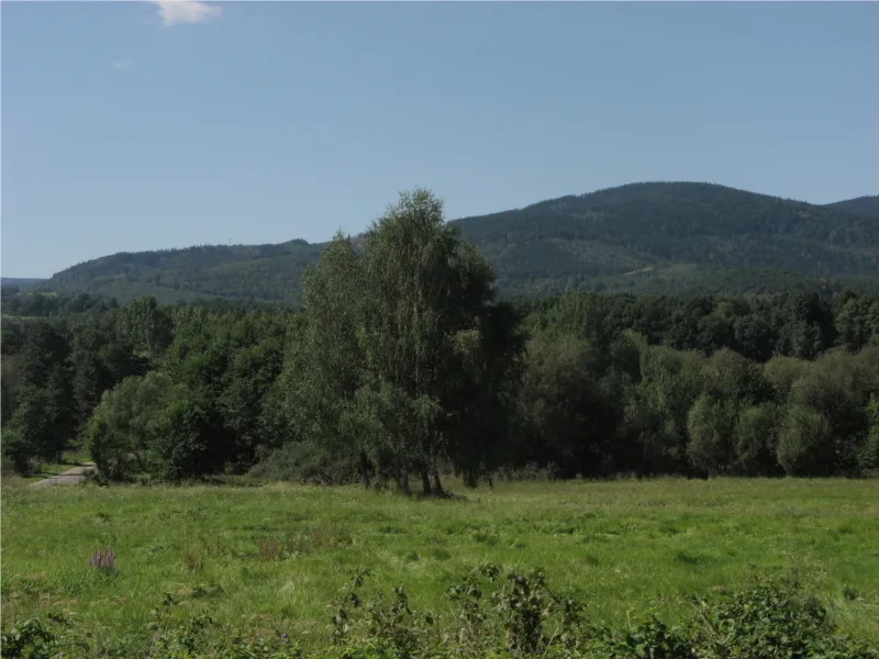 Srebrna Kopa Mountain, Janov1.9 km E
-
Zamkowa Góra Mountain, Głuchołazy2.9 km NE
-
Ďablův Kopec Mountain, Janov3.8 km SE
-
Olszak Mountain, Głuchołazy4.4 km NE
-
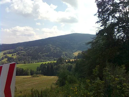 Příčný vrch Mountain, Zlaté Hory5.2 km SW
-
Solná hora Mountain, Petrovice4.7 km S
-
Młyńska Góra Mountain, Prudnik4.9 km NE
-
Tylna Kopa Mountain, Głuchołazy6 km NW
More nature in Czechia
-
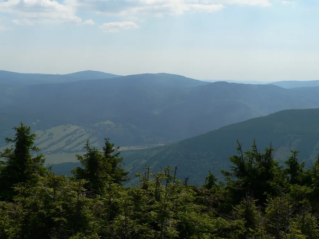 Jelení loučky Mountain, Vrbno pod Pradědem17 km SW
-
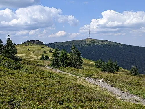 Praděd Mountain, Malá Morávka24 km SW
-
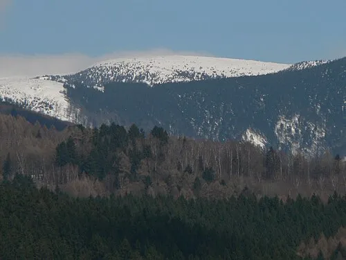 Vysoká hole Mountain, Malá Morávka26 km SW
-
Kopřivná Mountain, Krasov22 km SE
-
Vinice Mountain, Brantice25 km SE
-
Rudná Mountain, Široká Niva26 km S
Sources & licences
Data last updated: · 2 independent sources