- Elevation
- 628 m
- above sea level
- Local time
- UTC+01:00
- Europe/Prague · UTC+01:00
- Airports
- OSR Leoš Janáček Airport Ostrava58 km
- BRQ Brno-Tuřany Airport114 km
About Rudná
Rudná is a mountain. Location: Široká Niva, Bruntál District. Elevation: 628 m. The best months to visit are June–August. The nearest airport is Leoš Janáček Airport Ostrava (58 km). Nearby sights include Kopřivná and Vinice.
Climate of Rudná
Best months for sightseeingBest months for sightseeing: June–August.
This month · November
A cold month
Day 4° · Night -1° · Rain 46 mm
- Hottest month
- July (day 20°)
- Coldest month
- January (night -5°)
- Wettest month
- June (104 mm)
- Driest month
- February (34 mm)
Bars: average monthly low and high temperature. Below: precipitation. Monthly averages for 1970–2000 at about 18 km resolution, adjusted for elevation. Highlighted months are mild and relatively dry. Source: WorldClim 2.1 (CC BY 4.0).
Show values as a table
| Month | Jan | Feb | Mar | Apr | May | Jun | Jul | Aug | Sep | Oct | Nov | Dec |
|---|---|---|---|---|---|---|---|---|---|---|---|---|
| Average high (°C) | 0° | 1° | 5° | 10° | 15° | 18° | 20° | 20° | 15° | 10° | 4° | 1° |
| Average low (°C) | -5° | -5° | -2° | 1° | 6° | 9° | 10° | 10° | 7° | 3° | -1° | -4° |
| Precipitation (mm) | 36 | 34 | 35 | 46 | 76 | 104 | 95 | 99 | 64 | 45 | 46 | 48 |
How to get to Rudná
The nearest airport is Leoš Janáček Airport Ostrava (OSR), 58 km to the southeast as the crow flies. The nearest large city is Brno, 113 km to the southwest.
Airports
- Leoš Janáček Airport Ostrava (OSR) Mošnov 58 kmsoutheast
- Brno-Tuřany Airport (BRQ) Brno 114 kmsouthwest
- Katowice Wojciech Korfanty International Airport (KTW) Katowice 123 kmnortheast
Nearby large cities
- Brno Population: 404.3K 113 kmsouthwest
- Bratislava Population: 423.7K 211 kmsouth
- Prague Population: 1.2M 220 kmwest
- Győr Population: 129.3K 261 kmsouth
- Dresden Population: 564.9K 290 kmnorthwest
Straight-line distances; road distances are longer. Airport data: OurAirports.
Day trips from Rudná
Within 100 km: 21 historic and cultural sites, 477 natural sites.
0–25 km28 places
- Kamenná Mountain 22 kmSW
- Zámecký vrch Mountain 23 kmNW
- Vysoká hole Mountain 19 kmW
- Vinice Mountain 8 kmNE
25–60 km157 places
- Sucha Kopa Mountain 48 kmNW
- Goworek Mountain 52 kmW
- Mały Śnieżnik Mountain 52 kmW
- Stroma Mountain 51 kmNW
60–100 km313 places
- Křížový Mountain 82 kmSE
- Úsobrnka Natural site 72 kmSW
- Ptak Mountain 95 kmNW
- Kłobuk Mountain 81 kmNW
Straight-line distances.
Nearest towns and villages
-
 Kunov Village, Nové Heřminovy1.7 km NE
-
Nové Heřmínovy Village, Nové Heřminovy2.2 km E
-
Oborná Village, Oborná2.9 km S
-
Široká Niva Village, Široká Niva4.1 km N
-
Bruntál Town, Bruntál5.1 km SW
-
Čaková Village, Čaková4.3 km NE
Nearby attractions & nature
Everything nearby-
Kopřivná Mountain, Krasov7.2 km NE
-
Vinice Mountain, Brantice8.3 km NE
-
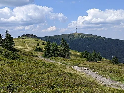 Praděd Mountain, Malá Morávka20 km W
-
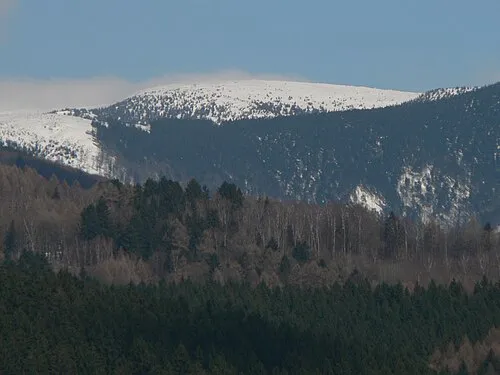 Vysoká hole Mountain, Malá Morávka19 km W
-
Freudenthal Concentration Camp (Bruntál) Historic site, Bruntál5.2 km SW
-
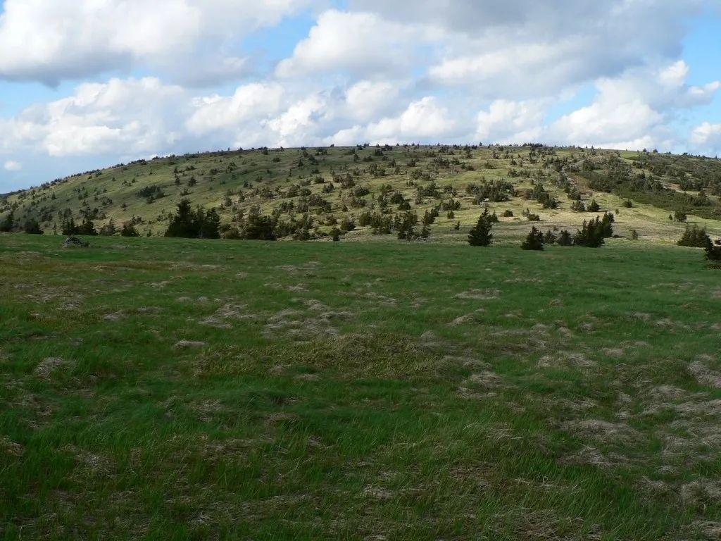 Velký Máj Mountain, Loučná nad Desnou21 km W
-
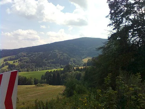 Příčný vrch Mountain, Zlaté Hory23 km N
-
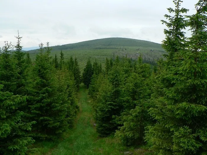 Orlík Mountain, Zlaté Hory22 km NW
Sources & licences
Data last updated: · 2 independent sources