Połonina Caryńska
Located in Lutowiska, Bieszczady County Coordinates: 49°08′17″ N 22°36′13″ E
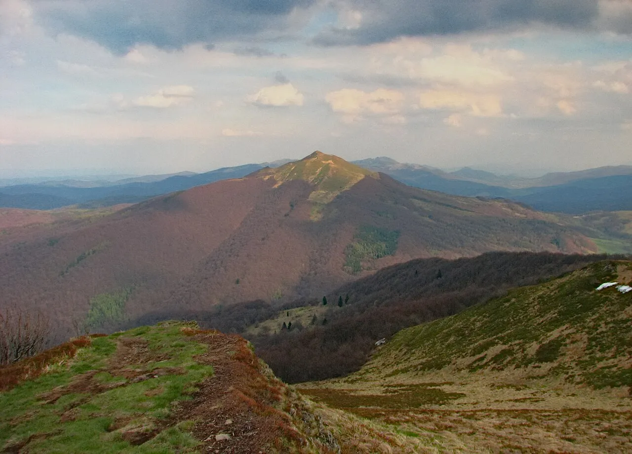
- Elevation
- 1,276 m
- above sea level
- Local time
- UTC+01:00
- Europe/Warsaw · UTC+01:00
- Airports
- KSC Košice International Airport113 km
- RZE Rzeszów-Jasionka Airport116 km
About Połonina Caryńska
Połonina Caryńska is a mountain. Location: Lutowiska, Bieszczady County. Elevation: 1,276 m.
Połonina Caryńska, (Polish pronunciation: [pɔwɔˈnina t͡sarɨŋˈska]) also known as Połonina Berehowska, is a montane ecosystem in the Bieszczady Mountains laying between valleys of the Dwernik and Wołosaty rivers, which contain the settlements of Brzegi Górne and Ustrzyki Górne. It has four major culminations, the highest is Kruhly Wierch (1297 m), while the other ones have the heights of 1245, 1239 and 1148 metres.
Source: Wikipedia · CC BY-SA 4.0
Photos of Połonina Caryńska
-

Lech_Darski · CC BY-SA 3.0 -

Justyna Łacka · CC BY 3.0 -

LuzynaS · CC BY-SA 3.0 pl -

Pudelek · CC BY-SA 4.0 -

LuzynaS · CC BY-SA 3.0 pl


Climate of Połonina Caryńska
This month · November
A cold month
Day 1° · Night -5° · Rain 80 mm
- Hottest month
- July (day 16°)
- Coldest month
- January (night -10°)
- Wettest month
- June (137 mm)
- Driest month
- January (60 mm)
Bars: average monthly low and high temperature. Below: precipitation. Monthly averages for 1970–2000 at about 18 km resolution, adjusted for elevation. Highlighted months are mild and relatively dry. Source: WorldClim 2.1 (CC BY 4.0).
Show values as a table
| Month | Jan | Feb | Mar | Apr | May | Jun | Jul | Aug | Sep | Oct | Nov | Dec |
|---|---|---|---|---|---|---|---|---|---|---|---|---|
| Average high (°C) | -4° | -4° | 1° | 6° | 12° | 14° | 16° | 16° | 12° | 7° | 1° | -3° |
| Average low (°C) | -10° | -10° | -7° | -3° | 2° | 5° | 6° | 6° | 3° | -1° | -5° | -9° |
| Precipitation (mm) | 60 | 60 | 61 | 74 | 101 | 137 | 134 | 105 | 86 | 74 | 80 | 82 |
How to get to Połonina Caryńska
The nearest airport is Košice International Airport (KSC), 113 km to the southwest as the crow flies. For international flights: Rzeszów-Jasionka Airport (RZE) (116 km). The nearest large city is Košice, 109 km to the southwest.
Airports
- Košice International Airport (KSC) Košice 113 kmsouthwest
- Rzeszów-Jasionka Airport (RZE) Jasionka 116 kmnorth
- Satu Mare International Airport (SUJ) Satu Mare 161 kmsouth
Nearby large cities
- Košice Population: 225K 109 kmsouthwest
- Nyíregyháza Population: 117.7K 147 kmsouthwest
- Satu Mare Population: 112.5K 150 kmsouth
- Miskolc Population: 154.5K 177 kmsouthwest
- Baia Mare Population: 108.8K 179 kmsoutheast
Straight-line distances; road distances are longer. Airport data: OurAirports.
Day trips from Połonina Caryńska
Within 100 km: 11 historic and cultural sites, 123 natural sites, 7 lakes, rivers and coasts.
0–25 km61 places
- Łopienik Mountain 23 kmNW
- Ptasza - 1162 m npm Bieszczady Mountain 15 kmW
- Dziurkowiec - 1188 m npm Bieszczady Mountain 14 kmW
- Korbania Mountain 24 kmNW
25–60 km35 places
- Zemplínska šírava Lake 58 kmSW
- Morské Oko Lake 39 kmSW
- Vihorlatské Vrchy Mountain 42 kmSW
- Cirocha River 54 kmSW
60–100 km45 places
- Kolanin Mountain 95 kmNW
- Veľká Domaša Lake 68 kmW
- Slanské Pohorie Mountain 95 kmSW
- Topľa River 76 kmSW
Straight-line distances.
Nearest towns and villages
-
Stuposiany Village, Lutowiska8 km NE
-
Zatwarnica Village, Lutowiska11 km N
-
Lutowiska Village, Lutowiska14 km NE
-
Cisna Municipality, Lesko County16 km W
-
Gmina Czarna Municipality, Bieszczady County18 km N
-
Polana Village, Gmina Czarna18 km N
Nearby attractions & nature
Everything nearby-
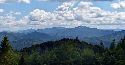 Poloninské Karpaty Mountain, Subcarpathian Voivodeship1.6 km W
-
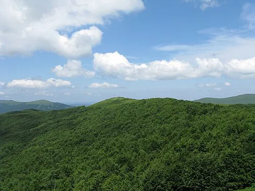 Mała Rawka Mountain, Lutowiska4 km SW
-
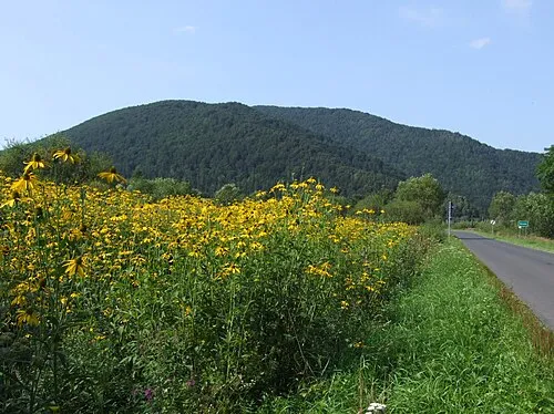 Magura Stuposiańska Mountain, Lutowiska4.2 km NE
-
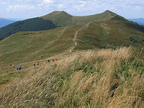 Połonina Wetlińska Mountain, Lutowiska4.5 km NW
-
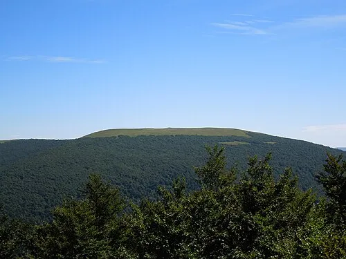 Rawka Mountain, Lutowiska4.8 km SW
-
Zdegowa - 1065 m npm Bieszczady Mountain, Lutowiska4.9 km SW
-
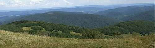 Jawornik Mountain, Lutowiska5.3 km NW
-
Wielka Semanowa - 1071 m npm Bieszczady Mountain, Lutowiska5.6 km S
More nature in Poland
-
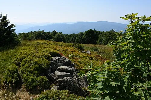 Kamienna Mountain, Lutowiska6.7 km SW
-
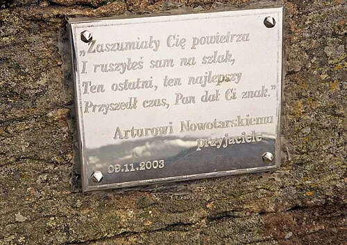 Dwernik Kamień Mountain, Lutowiska6.1 km N
-
Mała Semanowa - 1071 m npm Bieszczady Mountain, Lutowiska6.2 km S
-
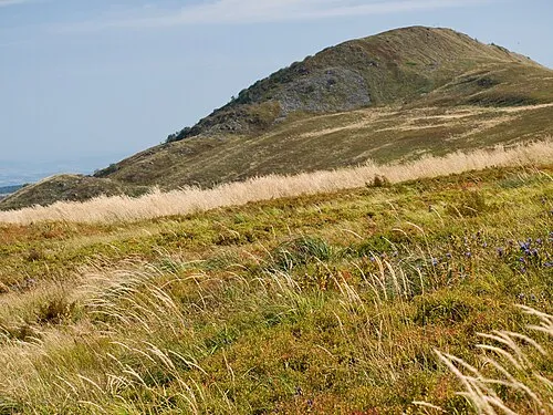 Roh Mountain, Lutowiska6.4 km NW
-
Widełki Mountain, Lutowiska6.9 km E
-
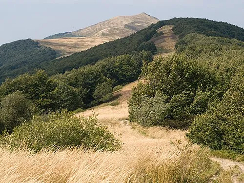 Szare Berdo Mountain, Lutowiska8.4 km NW
Sources & licences
Data last updated: · 2 independent sources