Poloninské Karpaty
Located in Subcarpathian Voivodeship, Poland Coordinates: 49°08′00″ N 22°35′00″ E
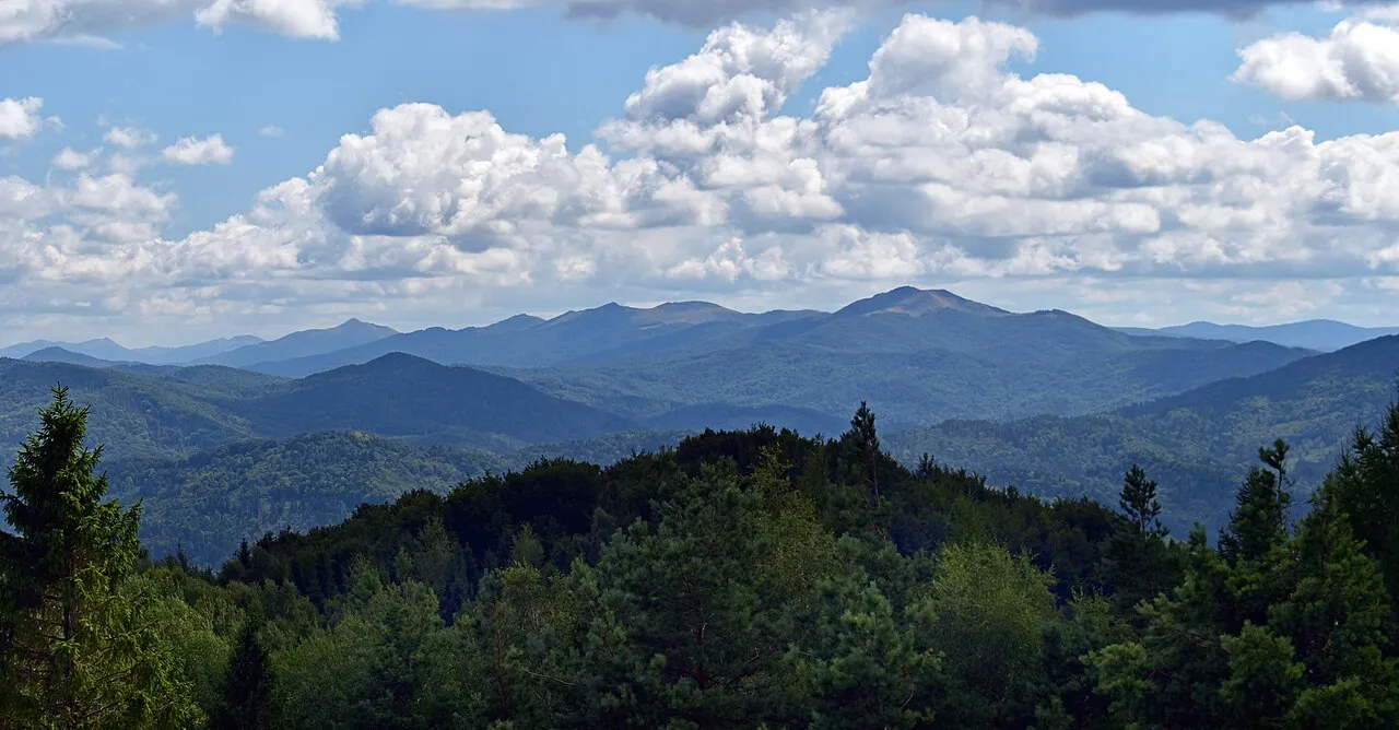
- Elevation
- 890 m
- above sea level
- Local time
- UTC+01:00
- Europe/Warsaw · UTC+01:00
About Poloninské Karpaty
Poloninské Karpaty is a mountain. Location: Subcarpathian Voivodeship, Poland. Elevation: 890 m.
The Bieszczady Mountains (Polish: Bieszczady; Slovak: Beščady; Ukrainian: Бещади, romanized: Beshchady) are a mountain range found in the extreme southeast of Poland and northeast of Slovakia, as well as southwest of Ukraine. They are a part of the Eastern Beskids. Their highest peak is Pikui, situated in Ukraine, at 1,405 metres (4,610 ft), and the highest within the borders of Poland is Tarnica, at 1,346 metres (4,416 ft).
Read more on Wikipedia Text: Wikipedia contributors · CC BY-SA 4.0 · shortened
In comparison
- No. 318 of 887 mountains in Poland by elevation
- 23 sights and natural places within 10 km Połonina Caryńska, Mała Rawka
Airports nearest to Poloninské Karpaty
- Košice International Airport (KSC) Košice 111 km
- Rzeszów-Jasionka Airport (RZE) Jasionka 116 km
- Satu Mare International Airport (SUJ) Satu Mare 161 km
Straight-line distance; airports with scheduled flights only. Source: OurAirports (public domain).
Nearest towns and villages
-
Lutowiska Municipality, Bieszczady County7.6 km E
-
Stuposiany Village, Lutowiska9.5 km NE
-
Zatwarnica Village, Lutowiska11 km N
-
Cisna Municipality, Lesko County15 km W
-
Lutowiska Village, Lutowiska16 km NE
-
Gmina Czarna Municipality, Bieszczady County19 km N
Nearby attractions & nature
Everything nearby-
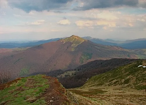 Połonina Caryńska Mountain, Lutowiska1.6 km E
-
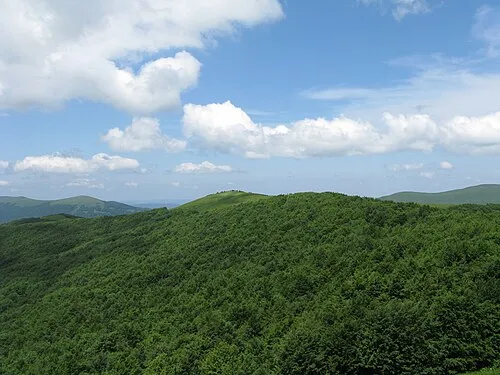 Mała Rawka Mountain, Lutowiska2.9 km S
-
Zdegowa - 1065 m npm Bieszczady Mountain, Lutowiska3.3 km SW
-
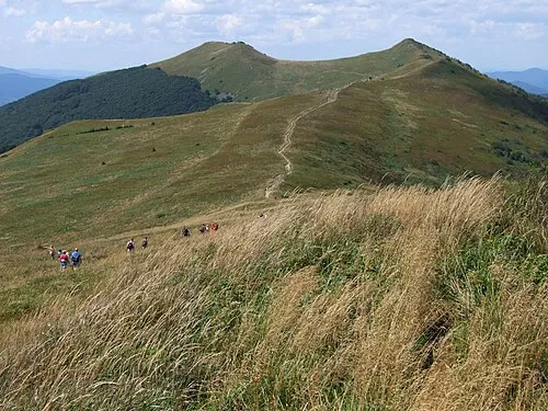 Połonina Wetlińska Mountain, Lutowiska3.6 km NW
-
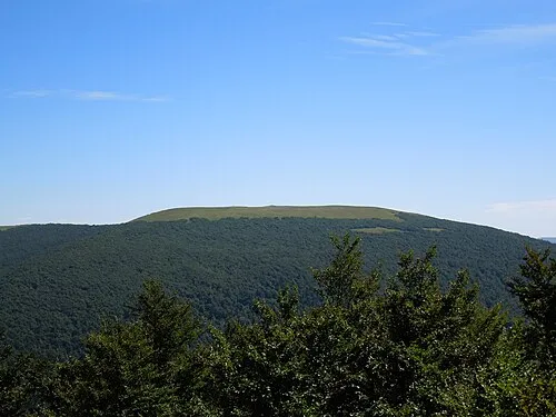 Rawka Mountain, Lutowiska3.9 km S
-
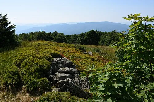 Kamienna Mountain, Lutowiska5.4 km SW
-
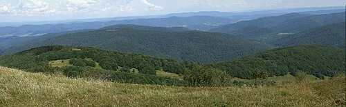 Jawornik Mountain, Lutowiska5.3 km N
-
Wielka Semanowa - 1071 m npm Bieszczady Mountain, Lutowiska5.3 km S
More nature in Poland
-
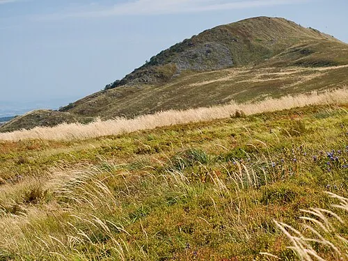 Roh Mountain, Lutowiska5.5 km NW
-
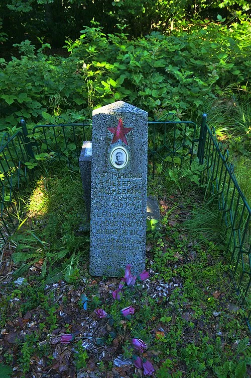 Hrubky Mountain, Cisna5.9 km SW
-
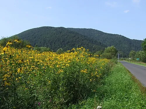 Magura Stuposiańska Mountain, Lutowiska5.7 km NE
-
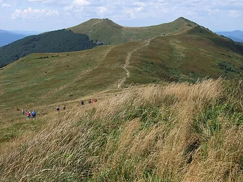 Osadzki Mountain, Cisna5.7 km NW
-
Mała Semanowa - 1071 m npm Bieszczady Mountain, Lutowiska6.2 km SE
-
Hnatowe Berdo Mountain, Cisna6.4 km NW
Sources & licences
Data last updated: · 2 independent sources