- Elevation
- 1,070 m
- above sea level
- Local time
- UTC+01:00
- Europe/Warsaw · UTC+01:00
- Airports
- KSC Košice International Airport105 km
- RZE Rzeszów-Jasionka Airport118 km
About Mogiłki
Mogiłki is a mountain. Location: Cisna, Lesko County. Elevation: 1,070 m. The best months to visit are August. The nearest airport is Košice International Airport (105 km). Nearby sights include Czerteż and Hrubky.
Climate of Mogiłki
Best months for sightseeingBest months for sightseeing: August.
This month · November
A cold month
Day 3° · Night -3° · Rain 80 mm
- Hottest month
- July (day 17°)
- Coldest month
- January (night -9°)
- Wettest month
- June (137 mm)
- Driest month
- January (60 mm)
Bars: average monthly low and high temperature. Below: precipitation. Monthly averages for 1970–2000 at about 18 km resolution, adjusted for elevation. Highlighted months are mild and relatively dry. Source: WorldClim 2.1 (CC BY 4.0).
Show values as a table
| Month | Jan | Feb | Mar | Apr | May | Jun | Jul | Aug | Sep | Oct | Nov | Dec |
|---|---|---|---|---|---|---|---|---|---|---|---|---|
| Average high (°C) | -3° | -3° | 2° | 7° | 13° | 16° | 17° | 17° | 13° | 9° | 3° | -2° |
| Average low (°C) | -9° | -9° | -5° | -2° | 3° | 6° | 8° | 7° | 4° | 1° | -3° | -8° |
| Precipitation (mm) | 60 | 60 | 61 | 74 | 101 | 137 | 134 | 105 | 86 | 74 | 80 | 82 |
Other places to visit in this season: August
How to get to Mogiłki
The nearest airport is Košice International Airport (KSC), 105 km to the southwest as the crow flies. For international flights: Rzeszów-Jasionka Airport (RZE) (118 km). The nearest large city is Nyíregyháza, 140 km to the southwest.
Airports
- Košice International Airport (KSC) Košice 105 kmsouthwest
- Rzeszów-Jasionka Airport (RZE) Jasionka 118 kmnorth
- Satu Mare International Airport (SUJ) Satu Mare 158 kmsouth
Nearby large cities
- Nyíregyháza Population: 117.7K 140 kmsouthwest
- Satu Mare Population: 112.5K 147 kmsouth
- Miskolc Population: 154.5K 169 kmsouthwest
- Baia Mare Population: 108.8K 178 kmsoutheast
- Debrecen Population: 202.4K 186 kmsouth
Straight-line distances; road distances are longer. Airport data: OurAirports.
Nearest towns and villages
-
Lutowiska Municipality, Bieszczady County14 km NE
-
Zatwarnica Village, Lutowiska15 km N
-
Cisna Village, Cisna18 km NW
-
Stuposiany Village, Lutowiska16 km NE
-
Gmina Czarna Municipality, Bieszczady County23 km N
-
Lutowiska Village, Lutowiska22 km NE
Nearby attractions & nature
Everything nearby-
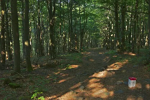 Czerteż Mountain, Subcarpathian Voivodeship0.8 km SE
-
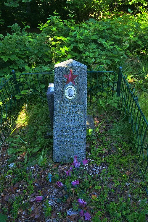 Hrubky Mountain, Cisna1.7 km E
-
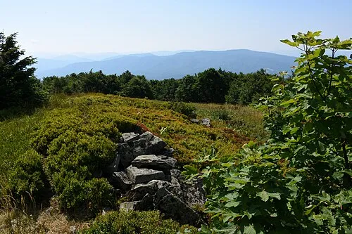 Kamienna Mountain, Lutowiska3 km E
-
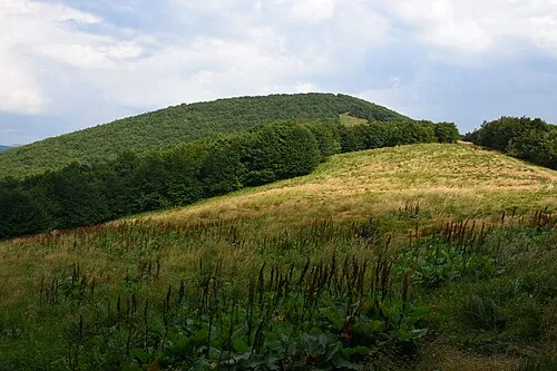 Czoło - 1159 m npm Bieszczady Mountain, Cisna3 km W
-
Zdegowa - 1065 m npm Bieszczady Mountain, Lutowiska3.4 km NE
-
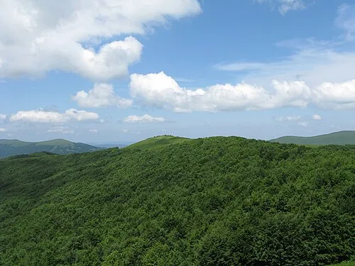 Mała Rawka Mountain, Lutowiska4.9 km E
-
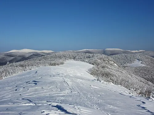 Rabia Skała - 1199 m npm Bieszczady Mountain, Cisna5 km W
-
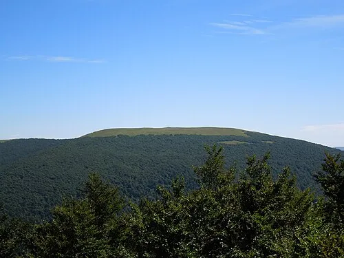 Rawka Mountain, Lutowiska5.1 km E
More nature in Poland
-
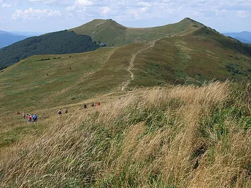 Osadzki Mountain, Cisna7.6 km N
-
Hnatowe Berdo Mountain, Cisna7.6 km N
-
Szczawnik Mountain, Cisna9.1 km NW
-
Fereczata Mountain, Cisna9.8 km NW
-
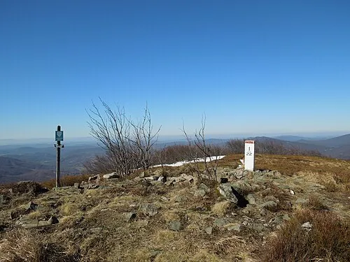 Ptasza - 1162 m npm Bieszczady Mountain, Cisna7.9 km W
-
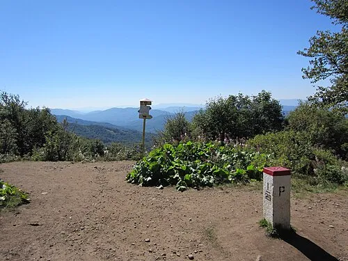 Okrąglik Mountain, Cisna12 km NW
Sources & licences
Data last updated: · 2 independent sources