Alandroal Municipality
Located in Évora District, Portugal Coordinates: 38°37′45″ N 7°21′58″ W
- Population
- 5,843
- 5.8K
- Elevation
- 192 m
- above sea level
- Local time
- UTC+00:00
- Europe/Lisbon · UTC+00:00
- Places inside
- 4
- listed under Alandroal Municipality
About Alandroal Municipality
Alandroal Municipality is a district. Location: Évora District, Portugal. Population: 5,843.
Alandroal (Portuguese pronunciation: [ɐlɐ̃dɾuˈal] ), officially Alandroal Town (Portuguese: Vila do Alandroal), is a municipality in the Portuguese district of Évora located on the eastern frontier with Spain along the right margin of the Guadiana River in the Central Alentejo region. It is located 341 metres (1,119 ft) above sea level, northeast of Évora and southeast of Estremoz. The population in 2011 was 5,843, in an area of 542.68 km2.
Read more on Wikipedia Text: Wikipedia contributors · CC BY-SA 4.0 · shortened
At a glance
- Area
- 543 km²
Source: Wikidata
In comparison
- Listed here: Municipality: 4
Places in Alandroal Municipality
4 places- 2.1K
-
Santiago Maior Municipality1.9K
-
Terena (São Pedro) Municipality680
-
Capelins (Santo António) Municipality398
Nature and heritage in Alandroal Municipality
-
Outeiro da Sentinela Mountain, Capelins (Santo António)
-
Outeiro do Chouriço Mountain, Santiago Maior
-
Pedra do Cavalo Mountain, Santiago Maior
Nearby attractions & nature
Everything nearby-
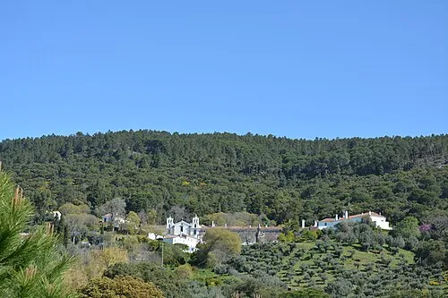 Serra de Ossa Mountain, Évora District23 km NW
-
Rivera de Táliga River, Alconchel9.9 km E
-
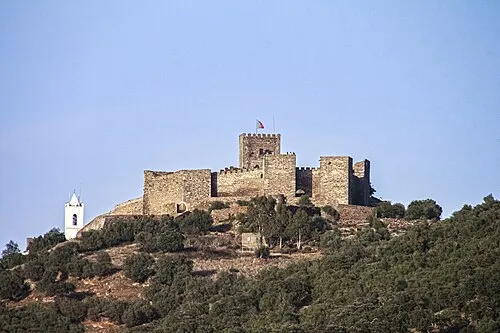 Castelo de Monsaraz Historic site, Monsaraz21 km S
-
Pedra da Negra Mountain, Redondo16 km W
-
Arroyo Friegamuñoz River, Villanueva del Fresno19 km SE
-
Río de Olivenza River, Olivenza25 km NE
Sources & licences
Data last updated: · 2 independent sources