São Miguel de Machede
Located in Évora Municipality, Évora District Coordinates: 38°39′00″ N 7°44′45″ W
- Population
- 688
- 688
- Elevation
- 247 m
- above sea level
- Local time
- UTC+00:00
- Europe/Lisbon · UTC+00:00
About São Miguel de Machede
São Miguel de Machede is a municipality. Location: Évora Municipality, Évora District. Population: 688. Elevation: 247 m.
In comparison
- No. 10 of 12 places in Évora Municipality by population
- Nearest larger town: São Bento do Mato, 8 km NW
Airports nearest to São Miguel de Machede
- Badajoz Airport (BJZ) Badajoz 85 km
- Lisbon Humberto Delgado Airport (LIS) Lisbon 122 km
- Cascais Airport (CAT) Cascais 140 km
Straight-line distance; airports with scheduled flights only. Source: OurAirports (public domain).
Nearby attractions & nature
Everything nearby-
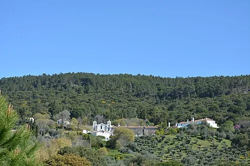 Serra de Ossa Mountain, Évora District15 km NE
-
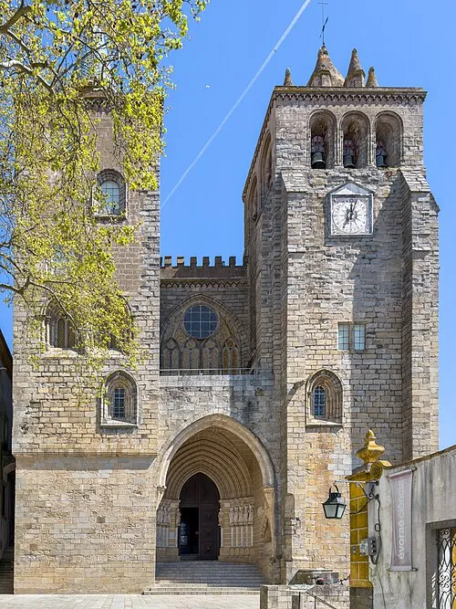 Cathedral of Évora Attraction, União das freguesias de Évora (São Mamede, Sé, São Pedro e Santo Antão)16 km SW
-
Alto dos Cucos Mountain, União das freguesias de Malagueira e Horta das Figueiras19 km SW
-
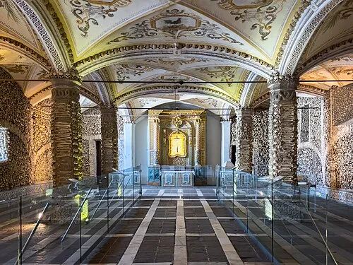 Capela dos Ossos Attraction, União das freguesias de Évora (São Mamede, Sé, São Pedro e Santo Antão)17 km SW
-
Pedra da Negra Mountain, Redondo19 km SE
-
Pedra do Cavalo Mountain, Santiago Maior21 km SE
-
Outeiro do Chouriço Mountain, Santiago Maior24 km SE
-
Arraiolos Mountain, Arraiolos23 km W
Sources & licences
Data last updated: