Rogil
Located in Aljezur Municipality, Faro District Coordinates: 37°23′38″ N 8°49′06″ W
- Population
- 1,165
- 1.2K
- Elevation
- 12 m
- above sea level
- Local time
- UTC+00:00
- Europe/Lisbon · UTC+00:00
- Places inside
- 1
- listed under Rogil
About Rogil
Rogil is a municipality. Location: Aljezur Municipality, Faro District. Population: 1,165. Elevation: 12 m.
Rogil (European Portuguese pronunciation: [ʁuˈʒil]) is a Portuguese civil parish in Aljezur Municipality. It lies within the Southwest Alentejo and Vicentine Coast Natural Park. The population in 2011 was 1,126, in an area of 34.96 km2 (13.50 sq mi). The village of Rogil lies on a plateau at about 95 metres above sea level. There is no church listed on the diocesan website.
Read more on Wikipedia Text: Wikipedia contributors · CC BY-SA 4.0 · shortened
At a glance
- Area
- 35 km²
Source: Wikidata
In comparison
- No. 2 of 4 places in Aljezur Municipality by population
- Nearest larger town: Aljezur, 11 km S
- 2 sights and natural places within 10 km Praia da Baía dos Tiros, Praia da Amoreira
Places in Rogil
1 place-
Praia da Baía dos Tiros Beach
Nearby attractions & nature
Everything nearby-
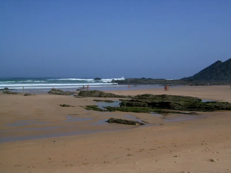 Praia da Amoreira Beach, Aljezur5.3 km SW
-
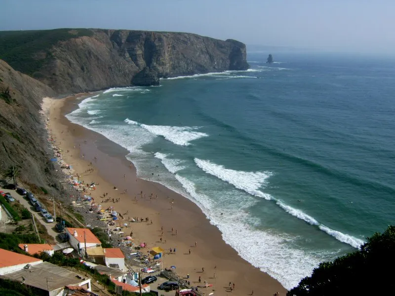 Praia da Arrifana Beach, Aljezur12 km S
-
Serra do Espinhaço de Cão Mountain, Faro District15 km SE
-
Cerro das Pedras Mountain, Monchique23 km E
-
Cerro da Garganta Mountain, Monchique23 km E
-
Serra Pequena Mountain, Sabóia24 km E
-
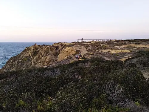 Cape Sardao Natural site, Beja District23 km N
Sources & licences
Data last updated: · 2 independent sources