Cerro das Pedras
Located in Monchique, Monchique Municipality Coordinates: 37°21′00″ N 8°34′00″ W
- Elevation
- 378 m
- above sea level
- Local time
- UTC+00:00
- Europe/Lisbon · UTC+00:00
- Airports
- PRM Portimão Airport22 km
- FAO Faro - Gago Coutinho International Airport65 km
About Cerro das Pedras
Cerro das Pedras is a mountain. Location: Monchique, Monchique Municipality. Elevation: 378 m. The best months to visit are June–September. The nearest airport is Portimão Airport (22 km). Nearby sights include Cerro da Garganta and Cerro do Vale Chão.
Climate of Cerro das Pedras
Best months for sightseeingBest months for sightseeing: June–September.
This month · November
Outside the best season
Day 17° · Night 9° · Rain 88 mm
- Hottest month
- July (day 26°)
- Coldest month
- January (night 6°)
- Wettest month
- December (102 mm)
- Driest month
- July (2 mm)
Bars: average monthly low and high temperature. Below: precipitation. Monthly averages for 1970–2000 at about 18 km resolution, adjusted for elevation. Highlighted months are mild and relatively dry. Source: WorldClim 2.1 (CC BY 4.0).
Show values as a table
| Month | Jan | Feb | Mar | Apr | May | Jun | Jul | Aug | Sep | Oct | Nov | Dec |
|---|---|---|---|---|---|---|---|---|---|---|---|---|
| Average high (°C) | 13° | 14° | 16° | 17° | 20° | 23° | 26° | 26° | 24° | 20° | 17° | 14° |
| Average low (°C) | 6° | 7° | 8° | 9° | 11° | 13° | 15° | 15° | 14° | 12° | 9° | 8° |
| Precipitation (mm) | 83 | 70 | 51 | 54 | 34 | 15 | 2 | 4 | 21 | 62 | 88 | 102 |
Other places to visit in this season: June July August September
How to get to Cerro das Pedras
The nearest airport is Portimão Airport (PRM), 22 km to the south as the crow flies. For international flights: Faro - Gago Coutinho International Airport (FAO) (65 km). The nearest large city is Setúbal, 133 km to the north.
Airports
- Portimão Airport (PRM) Portimão 22 kmsouth
- Faro - Gago Coutinho International Airport (FAO) Faro 65 kmsoutheast
- Lisbon Humberto Delgado Airport (LIS) Lisbon 167 kmnorth
Nearby large cities
- Setúbal Population: 118.2K 133 kmnorth
- Huelva Population: 144.3K 144 kmeast
- Lisbon Population: 517.8K 161 kmnorth
- Badajoz Population: 150.5K 220 kmnortheast
- Cadiz Population: 117K 223 kmsoutheast
Straight-line distances; road distances are longer. Airport data: OurAirports.
Day trips from Cerro das Pedras
Within 100 km: 21 historic and cultural sites, 36 natural sites, 12 lakes, rivers and coasts.
0–25 km8 places
- Praia da Amoreira Beach 25 kmW
- Cerro do Vale Chão Mountain 6 kmE
- Praia da Baía dos Tiros Beach 23 kmW
- Serra do Espinhaço de Cão Mountain 16 kmSW
25–60 km27 places
- Praia da Arrifana Beach 27 kmW
- Cabeço do Ramalho Mountain 31 kmE
- Cerro de Malhinverde Mountain 34 kmE
- Serra do Malhão Mountain 50 kmE
60–100 km34 places
- Cerro da Fontainha Mountain 66 kmE
- Serra de Grândola Mountain 83 kmN
- Cerro da Parra Mountain 65 kmE
- Cerro da Masseira Mountain 62 kmE
Straight-line distances.
Nearest towns and villages
Nearby attractions & nature
Everything nearby-
Cerro da Garganta Mountain, Monchique4 km S
-
Cerro do Vale Chão Mountain, Alferce5.8 km E
-
Serra Pequena Mountain, Sabóia6.8 km N
-
Cabeça Gorda Mountain, Alferce10 km E
-
Serra do Espinhaço de Cão Mountain, Faro District16 km SW
-
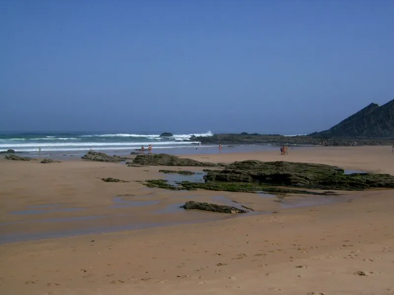 Praia da Amoreira Beach, Aljezur25 km W
-
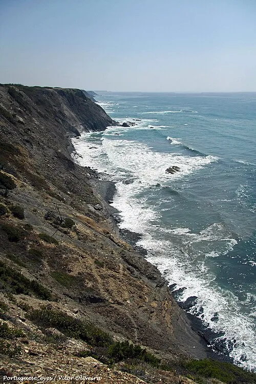 Praia da Baía dos Tiros Beach, Rogil23 km W
-
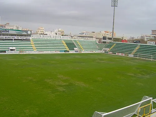 Estádio Municipal de Portimão Landmark, Portimão24 km S
Sources & licences
Data last updated: · 2 independent sources