Marmelete
Located in Monchique Municipality, Faro District Coordinates: 37°18′23″ N 8°41′13″ W
- Population
- 698
- 698
- Elevation
- 377 m
- above sea level
- Local time
- UTC+00:00
- Europe/Lisbon · UTC+00:00
- Places inside
- 1
- listed under Marmelete
About Marmelete
Marmelete is a municipality. Location: Monchique Municipality, Faro District. Population: 698. Elevation: 377 m.
Marmelete is a village and a freguesia (parish) in the concelho (municipality) of Monchique (Algarve, Portugal). The population in 2011 was 787, in an area of 139.91 km².
Read more on Wikipedia Text: Wikipedia contributors · CC BY-SA 4.0 · shortened
At a glance
- Area
- 148 km²
Source: Wikidata
In comparison
- No. 2 of 3 places in Monchique Municipality by population
- Nearest larger town: Marmelete, 2 km E
- 2 sights and natural places within 10 km Serra do Espinhaço de Cão, Cerro da Garganta
Airports nearest to Marmelete
- Portimão Airport (PRM) Portimão 20 km
- Faro - Gago Coutinho International Airport (FAO) Faro 71 km
- Cascais Airport (CAT) Cascais 168 km
Straight-line distance; airports with scheduled flights only. Source: OurAirports (public domain).
Places in Marmelete
1 place-
Marmelete Village1.1K
Nearby attractions & nature
Everything nearby-
Serra do Espinhaço de Cão Mountain, Faro District4.8 km SW
-
Cerro da Garganta Mountain, Monchique9.3 km E
-
Cerro das Pedras Mountain, Monchique12 km NE
-
Cerro do Vale Chão Mountain, Alferce17 km E
-
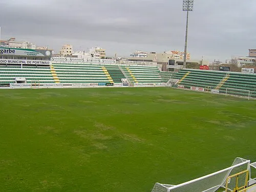 Estádio Municipal de Portimão Landmark, Portimão23 km SE
-
Serra Pequena Mountain, Sabóia17 km NE
-
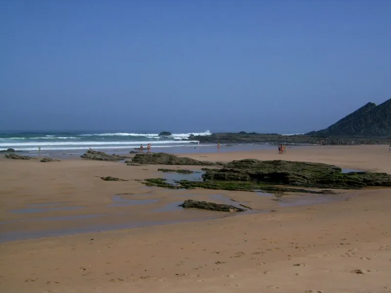 Praia da Amoreira Beach, Aljezur15 km W
-
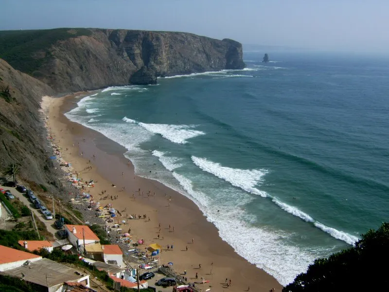 Praia da Arrifana Beach, Aljezur16 km W
Sources & licences
Data last updated: · 2 independent sources