Ferrel
Located in Peniche Municipality, Leiria District Coordinates: 39°22′17″ N 9°19′07″ W
- Population
- 2,759
- 2.8K
- Elevation
- 39 m
- above sea level
- Local time
- UTC+00:00
- Europe/Lisbon · UTC+00:00
- Places inside
- 2
- listed under Ferrel
About Ferrel
Ferrel is a municipality. Location: Peniche Municipality, Leiria District. Population: 2,759. Elevation: 39 m.
In comparison
- No. 3 of 4 places in Peniche Municipality by population
- Nearest larger town: Atouguia da Baleia, 4 km S
- 3 sights and natural places within 10 km Outeirão, Cabo Carvoeiro
- Listed here: Village: 2
Places in Ferrel
2 placesNearby attractions & nature
Everything nearby-
Outeirão Mountain, Amoreira4.9 km NE
-
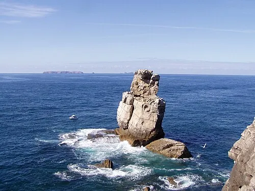 Cabo Carvoeiro Natural site, Peniche7.9 km W
-
Ciranda Mountain, Lisbon District9.1 km S
-
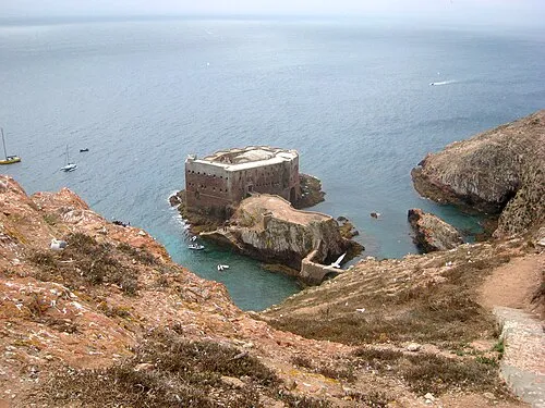 Fort of São João Baptista Historic site, Peniche17 km W
-
Cabeça Gorda Mountain, União das freguesias de Miragaia e Marteleira20 km S
-
Alto dos Campelos Mountain, União das freguesias de Campelos e Outeiro da Cabeça22 km S
-
Valongo Mountain, Maceira22 km S
-
Outeiro do Olival Mountain, Ramalhal23 km S
Sources & licences
Data last updated: