Amadora Municipality
Local name: Amadora
Located in Lisbon District, Portugal Coordinates: 38°45′21″ N 9°13′24″ W
- Population
- 175,136
- 175.1K
- Elevation
- 105 m
- above sea level
- Local time
- UTC+00:00
- Europe/Lisbon · UTC+00:00
- Places inside
- 6
- listed under Amadora Municipality
About Amadora Municipality
Amadora Municipality is a district. Location: Lisbon District, Portugal. Population: 175,136.
Amadora (European Portuguese pronunciation: [ɐmɐˈðoɾɐ] ), is a portuguese city and municipality in the immediate suburbs of Lisbon, just 10 kilometres (6.2 mi) from the national capital's centre. With 171,454 residents in 2021 within an area of just 23.79 km2 (9.2 sq mi), it is the densest populated municipality and one of the most populous cities in the country.
Read more on Wikipedia Text: Wikipedia contributors · CC BY-SA 4.0 · shortened
At a glance
- Area
- 23.8 km²
Source: Wikidata
In comparison
- 23 sights and natural places within 10 km Estádio José Gomes, Mama Sul
- Listed here: Municipality: 6
Places in Amadora Municipality
6 places-
Mina de Água Municipality43K
-
Águas Livres Municipality37.6K
-
Encosta do Sol Municipality27.1K
-
Venteira Municipality26.2K
-
Falagueira-Venda Nova Municipality20.8K
-
Alfragide Municipality16.8K
Nearby attractions & nature
Everything nearby-
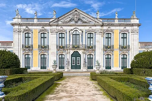 Queluz National Palace Historic site, Queluz3.2 km W
-
Mama Sul Mountain, Carnaxide e Queijas3.1 km S
-
Monsanto Mountain, Benfica3.8 km SE
-
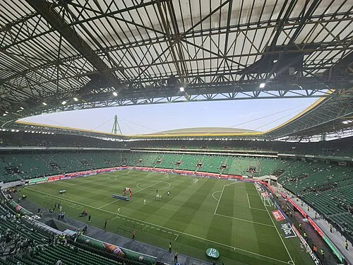 Estádio José Alvalade Landmark, Lumiar5.5 km E
-
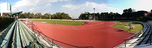 Estádio Universitário de Lisboa Landmark, Alvalade5.4 km E
-
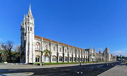 Hieronymites Monastery Attraction, Belém6.6 km S
Sources & licences
Data last updated: · 2 independent sources