Loures Municipality
Located in Lisbon District, Portugal Coordinates: 38°49′49″ N 9°08′00″ W
- Population
- 205,054
- 205.1K
- Elevation
- 66 m
- above sea level
- Local time
- UTC+00:00
- Europe/Lisbon · UTC+00:00
- Places inside
- 10
- listed under Loures Municipality
About Loures Municipality
Loures Municipality is a district. Location: Lisbon District, Portugal. Population: 205,054.
Loures (locally [ˈloɾɨʃ] ) is a city and a municipality in Portugal which is part of the District and Metropolitan area of Lisbon. It is the fifth most populous municipality in the country, with a total population of 201,632.
Read more on Wikipedia Text: Wikipedia contributors · CC BY-SA 4.0 · shortened
At a glance
- Area
- 167 km²
Source: Wikidata
In comparison
- 10 sights and natural places within 10 km Castelo de Pirescoxe, Alto do Mato de Antão
- Listed here: Municipality: 10
Places in Loures Municipality
10 places- 44.5K
-
União das freguesias de Camarate, Unhos e Apelação Municipality33.5K
-
Loures Municipality30.3K
- 28.5K
-
União das freguesias de Sacavém e Prior Velho Municipality24.7K
-
União das freguesias de Moscavide e Portela Municipality20.9K
- 8.6K
-
Bucelas Municipality4.8K
-
Lousa Municipality3.2K
-
Fanhões Municipality2.6K
Nature and heritage in Loures Municipality
-
Castelo de Pirescoxe Historic site, União das freguesias de Santa Iria de Azoia, São João da Talha e Bobadela
-
Alto da Toupeira Mountain, Lousa
-
Montemor Mountain, Loures
-
Alto do Mato de Antão Mountain, União das freguesias de Santo Antão e São Julião do Tojal
Nearby attractions & nature
Everything nearby-
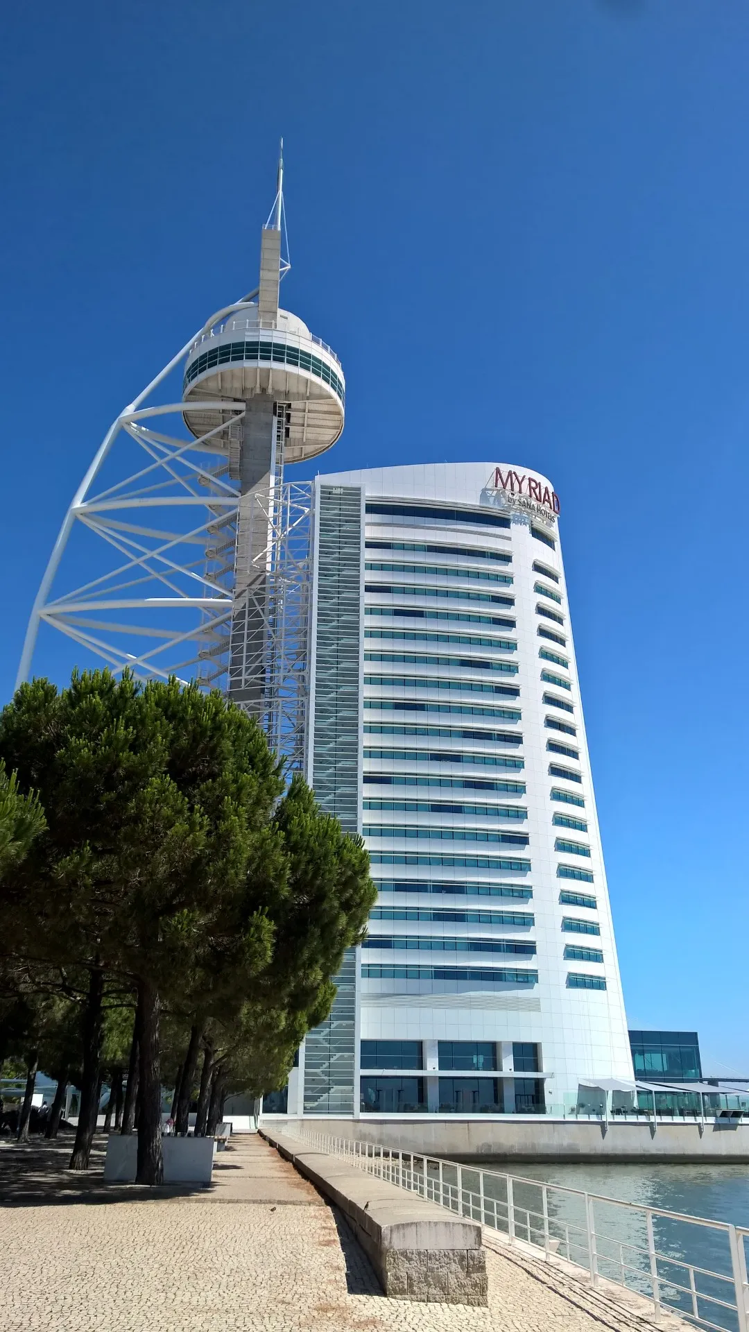 Vasco da Gama tower Landmark, Parque das Nações7.2 km SE
-
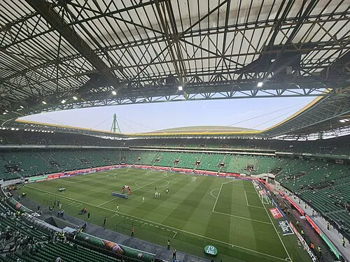 Estádio José Alvalade Landmark, Lumiar8 km S
-
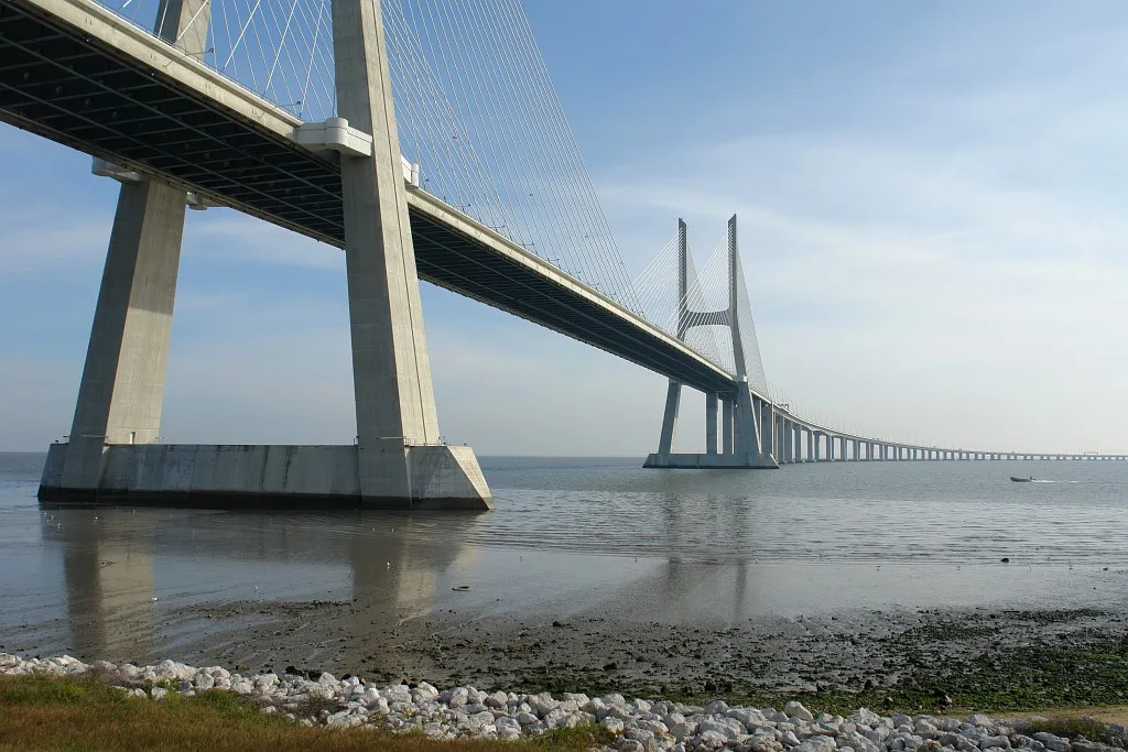 Vasco-da-Gama-bridge Landmark, Setúbal District11 km SE
-
Serra das Sardinhas Mountain, Lisbon District8.3 km W
-
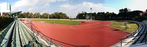 Estádio Universitário de Lisboa Landmark, Alvalade9 km S
-
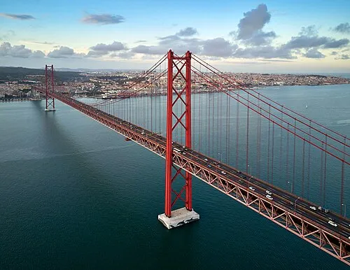 25th April bridge Landmark, Lisbon District16 km S
Sources & licences
Data last updated: · 2 independent sources