Fronteira Municipality
Located in Portalegre District, Portugal Coordinates: 39°04′18″ N 7°36′38″ W
- Population
- 3,410
- 3.4K
- Elevation
- 192 m
- above sea level
- Local time
- UTC+00:00
- Europe/Lisbon · UTC+00:00
- Places inside
- 3
- listed under Fronteira Municipality
About Fronteira Municipality
Fronteira Municipality is a district. Location: Portalegre District, Portugal. Population: 3,410.
Fronteira (pronounced [fɾõˈtɐjɾɐ] ) is a municipality in Portalegre District in Portugal. The population in 2011 was 3,410, in an area of 248.60 km2. The present Mayor is Rogério David Sádio da Silva, elected by the Social Democratic Party. The municipal holiday is April 6.
Read more on Wikipedia Text: Wikipedia contributors · CC BY-SA 4.0 · shortened
At a glance
- Area
- 249 km²
Source: Wikidata
In comparison
- Listed here: Municipality: 3
Places in Fronteira Municipality
3 places-
Fronteira Municipality1.7K
-
Cabeço de Vide Municipality928
-
São Saturnino Municipality234
Nearby attractions & nature
Everything nearby-
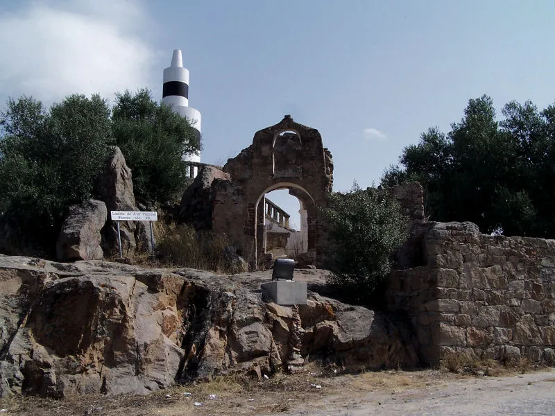 Castelo de Alter Pedroso Historic site, Alter do Chão13 km N
-
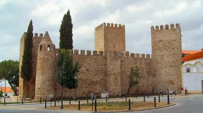 Castelo de Alter do Chão Historic site, Alter do Chão15 km N
-
Cabeço da Azinheira Mountain, Alter do Chão14 km N
-
Castelo de Seda Historic site, Seda20 km NW
-
Alto dos Ripados Mountain, Monforte24 km E
Sources & licences
Data last updated: · 2 independent sources