Gondomar Municipality
Located in Porto District, Portugal Coordinates: 41°07′13″ N 8°29′45″ W
- Population
- 168,027
- 168K
- Elevation
- 29 m
- above sea level
- Local time
- UTC+00:00
- Europe/Lisbon · UTC+00:00
- Places inside
- 7
- listed under Gondomar Municipality
About Gondomar Municipality
Gondomar Municipality is a district. Location: Porto District, Portugal. Population: 168,027.
In comparison
- 6 sights and natural places within 10 km Serra do Castiçal, Monte Crasto
- Listed here: Municipality: 7
Places in Gondomar Municipality
7 places-
Rio Tinto Municipality51.1K
- 47.4K
-
União das freguesias de Fânzeres e São Pedro da Cova Municipality37.8K
-
Baguim do Monte (Rio Tinto) Municipality14.4K
-
União das freguesias de Foz do Sousa e Covelo Municipality7K
-
União das freguesias de Melres e Medas Municipality5.3K
-
Lomba Municipality1.3K
Nature and heritage in Gondomar Municipality
-
Estádio de São Miguel Landmark, União das freguesias de Gondomar (São Cosme), Valbom e Jovim
-
Monte Crasto Mountain, União das freguesias de Gondomar (São Cosme), Valbom e Jovim
Nearby attractions & nature
Everything nearby-
Serra do Castiçal Mountain, Porto District2.4 km NE
-
Serra de Santo Antoninho Mountain, Porto District8.9 km E
-
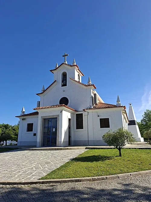 Monte da Virgem Mountain, Oliveira do Douro7.8 km W
-
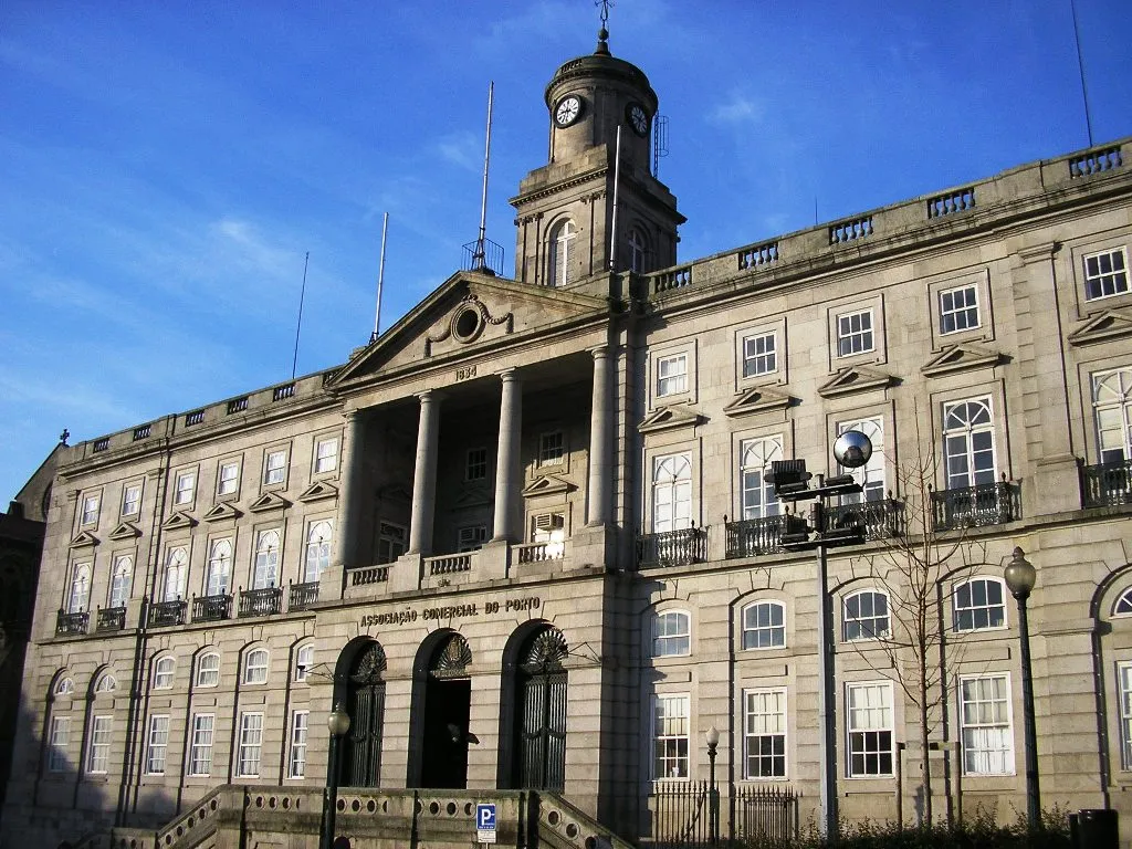 Palácio da Bolsa Historic site, União das freguesias de Cedofeita, Santo Ildefonso, Sé, Miragaia, São Nicolau e Vitória10 km W
-
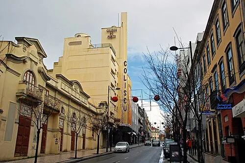 Coliseu do Porto Attraction, União das freguesias de Cedofeita, Santo Ildefonso, Sé, Miragaia, São Nicolau e Vitória9.7 km W
-
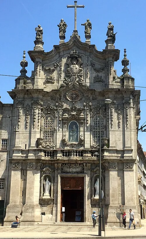 Igreja do Carmo Attraction, União das freguesias de Cedofeita, Santo Ildefonso, Sé, Miragaia, São Nicolau e Vitória11 km W
Sources & licences
Data last updated: