Chamusca Municipality
Located in Santarém District, Portugal Coordinates: 39°17′56″ N 8°23′58″ W
- Population
- 10,120
- 10.1K
- Elevation
- 111 m
- above sea level
- Local time
- UTC+00:00
- Europe/Lisbon · UTC+00:00
- Places inside
- 5
- listed under Chamusca Municipality
About Chamusca Municipality
Chamusca Municipality is a district. Location: Santarém District, Portugal. Population: 10,120.
In comparison
- Listed here: Municipality: 5
Places in Chamusca Municipality
5 places-
União das freguesias da Chamusca e Pinheiro Grande Municipality3.7K
-
Carregueira Municipality1.7K
-
União das freguesias de Parreira e Chouto Municipality1.3K
-
Ulme Municipality1K
-
Vale de Cavalos Municipality814
Nearby attractions & nature
Everything nearby-
Cabeço Gordo Mountain, União das freguesias de Casével e Vaqueiros17 km NW
-
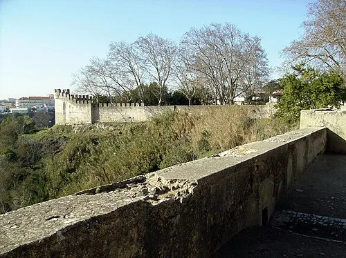 Castelo de Santarém Historic site, União de freguesias da cidade de Santarém25 km W
Sources & licences
Data last updated: