Torres Novas Municipality
Located in Santarém District, Portugal Coordinates: 39°29′30″ N 8°32′53″ W
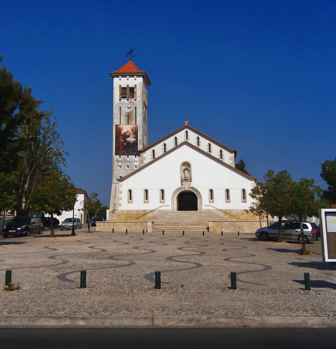
- Population
- 36,717
- 36.7K
- Elevation
- 87 m
- above sea level
- Local time
- UTC+00:00
- Europe/Lisbon · UTC+00:00
- Places inside
- 10
- listed under Torres Novas Municipality
- Airports
- LIS Lisbon Humberto Delgado Airport94 km
- CAT Cascais Airport110 km
About Torres Novas Municipality
Torres Novas Municipality is a district. Location: Santarém District, Portugal. Population: 36,717.
Torres Novas (Portuguese pronunciation: [ˈtoʁɨʒ ˈnɔvɐʃ] ) is a Portuguese municipality in the district of Santarém, in the Médio Tejo of the Oeste e Vale do Tejo region. The population of the municipality was approximately 36,717 (from the 2011 census), in an area that encompasses 270 square kilometres (100 mi2). The city of Torres Novas proper (seat of the municipality) has about 15,000 inhabitants in an area located within the municipality.
Source: Wikipedia · CC BY-SA 4.0
Travel notes for Torres Novas Municipality
From Wikivoyage
Torres Novas is a city and municipality on the River Almonda in Portugal's Ribatejo province.
Understand+
Torres Novas (TOH-rr(ih)zh NAW-vuhsh, /ˈto.ʁɨʒ ˈnɔ.vɐʃ/) municipality has 34,149 residents (2021 preliminary). The municipality includes the town of Riachos.
Visitor information:
1 Posto de Turismo (Tourist Information Office), Rua de Entre Muros 3, ☏ +351 249 813 019. Mon–Sat 10:00–16:00, closed Sun. (updated Sep 2021)
Get in+
1 Estação Ferroviária de Riachos-Torres Novas-Golegã (Riachos-Torres Novas-Golegã train station), Largo da Estação, Riachos. PDF timetable. Served by Regional trains on the Linha do Norte (Northern Line) from Lisbon, Entroncamento, and Tomar. (updated Sep 2021)
Rede Expressos provides intercity bus service.
The A23 motorway (Autoestrada da Beira Interior) serves Torres Novas directly from Entroncamento, Abrantes, Castelo Branco, Covilhã, and Guarda.
The A1 motorway (Autoestrada do Norte) skirts the western edge of the municipality, providing access from Lisbon, Porto, Coimbra, Aveiro, and Leiria.
The northern portion of the A13 motorway (Autoestrada do Pinhal Interior) ends just outside the municipality in Entroncamento, providing access from Tomar and Coimbra.
Source: Wikivoyage · CC BY-SA 4.0 · abridged
Climate of Torres Novas Municipality
Best months for sightseeingBest months for sightseeing: April–October.
This month · November
Outside the best season
Day 18° · Night 10° · Rain 95 mm
- Hottest month
- August (day 29°)
- Coldest month
- January (night 6°)
- Wettest month
- December (107 mm)
- Driest month
- July (6 mm)
Bars: average monthly low and high temperature. Below: precipitation. Monthly averages for 1970–2000 at about 18 km resolution, adjusted for elevation. Highlighted months are mild and relatively dry. Source: WorldClim 2.1 (CC BY 4.0).
Show values as a table
| Month | Jan | Feb | Mar | Apr | May | Jun | Jul | Aug | Sep | Oct | Nov | Dec |
|---|---|---|---|---|---|---|---|---|---|---|---|---|
| Average high (°C) | 14° | 16° | 18° | 19° | 22° | 26° | 28° | 29° | 27° | 22° | 18° | 15° |
| Average low (°C) | 6° | 7° | 8° | 10° | 12° | 15° | 16° | 16° | 15° | 13° | 10° | 8° |
| Precipitation (mm) | 105 | 83 | 57 | 64 | 58 | 23 | 6 | 7 | 31 | 81 | 95 | 107 |
Other places to visit in this season: April May June July August September October
How to get to Torres Novas Municipality
The nearest airport is Lisbon Humberto Delgado Airport (LIS), 94 km to the southwest as the crow flies. The nearest large city is Lisbon, 100 km to the southwest.
Airports
- Lisbon Humberto Delgado Airport (LIS) Lisbon 94 kmsouthwest
- Cascais Airport (CAT) Cascais 110 kmsouthwest
- Aerodromo Goncalves Lobato (Viseu Airport) (VSE) Viseu 148 kmnorth
Nearby large cities
- Lisbon Population: 517.8K 100 kmsouthwest
- Setúbal Population: 118.2K 111 kmsouth
- Badajoz Population: 150.5K 152 kmsoutheast
- Porto Population: 252.7K 184 kmnorth
- Braga Population: 193.3K 229 kmnorth
Straight-line distances; road distances are longer. Airport data: OurAirports.
Day trips from Torres Novas Municipality
Within 100 km: 25 historic and cultural sites, 186 natural sites, 1 lake, river or coast.
0–25 km14 places
- Cabeço Gordo Mountain 24 kmW
- Cabeço Gordo Mountain 13 kmS
- Cabeço do Vento Mountain 16 kmNW
- Cabeço Vedeiro Mountain 25 kmW
25–60 km40 places
- Zemaneira Mountain 46 kmSW
- Vale Grande Mountain 28 kmW
- Alto do Vale de Colmeias Mountain 54 kmE
- Serra de Todo Mundo Mountain 46 kmSW
60–100 km158 places
- Vale do Corvo Natural site 84 kmS
- Vale Costado Natural site 74 kmS
- Río Alburrel River 100 kmE
- Botanical Garden of the University of Coimbra Attraction 80 kmN
Straight-line distances.
Places in Torres Novas Municipality
10 places- 1 União das freguesias de Torres Novas (Santa Maria, Salvador e Santiago) 8.1K
- 2 União das freguesias de Torres Novas (São Pedro), Lapas e Ribeira Branca 8K
- 3 Riachos 5K
- 4 União das freguesias de Brogueira, Parceiros de Igreja e Alcorochel 2.6K
- 5 Assentiz 2.6K
- 6 União das freguesias de Olaia e Paço 2K
- 7 Pedrógão 1.8K
- 8 Meia Via 1.7K
- 9 Chancelaria 1.4K
- 10 Zibreira 940
Bar: population relative to the most populous place in this list.
Nearby attractions & nature
Everything nearby-
Vale das Caldeiras Natural site, Santarém District13 km SW
-
Cabeço da Mata Mountain, Bugalhos11 km SW
-
Cabeço da Giesteira Mountain, Santarém District17 km NW
-
Cabeço Sobreiro Mountain, São Mamede14 km NW
-
Cabeço João Viegas Mountain, União das freguesias de Malhou, Louriceira e Espinheiro14 km SW
-
Cabeços de Marvila Mountain, São Mamede15 km NW
Sources & licences
Data last updated: · 2 independent sources