Sabrosa Municipality
Located in Vila Real District, Portugal Coordinates: 41°15′11″ N 7°35′25″ W
- Population
- 6,361
- 6.4K
- Elevation
- 564 m
- above sea level
- Local time
- UTC+00:00
- Europe/Lisbon · UTC+00:00
- Places inside
- 12
- listed under Sabrosa Municipality
About Sabrosa Municipality
Sabrosa Municipality is a district. Location: Vila Real District, Portugal. Population: 6,361.
In comparison
- 3 sights and natural places within 10 km Ponte rodoviária sobre o rio Pinhão, Ponte ferroviária sobre o rio Pinhão
- Listed here: Municipality: 12
Places in Sabrosa Municipality
12 places-
Sabrosa Municipality1.1K
- 948
-
Paços Municipality676
- 463
-
Souto Maior Municipality439
-
Covas do Douro Municipality363
-
São Lourenço de Ribapinhão Municipality318
-
Torre do Pinhão Municipality296
-
Parada de Pinhão Municipality257
-
Vilarinho de São Romão Municipality237
-
Gouvinhas Municipality220
-
Celeirós Municipality201
Nearby attractions & nature
Everything nearby-
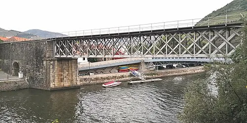 Ponte ferroviária sobre o rio Pinhão Landmark, Pinhão7.8 km SE
-
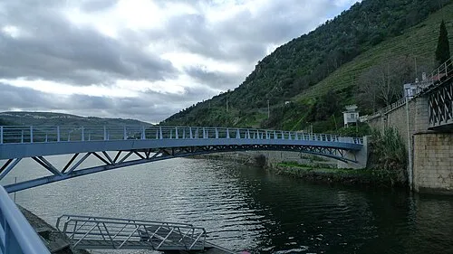 Pedestrian bridge over the Pinhão river Landmark, Pinhão7.8 km SE
-
Vale de Ervedosa Natural site, Ervedosa do Douro11 km SE
-
Serra de São Domingos Mountain, Vila Real District23 km NE
-
Serra do Ratiço Mountain, Vila Real District23 km NE
-
Vale das Carvas de Cima Natural site, Vila Real District22 km NE
Sources & licences
Data last updated: