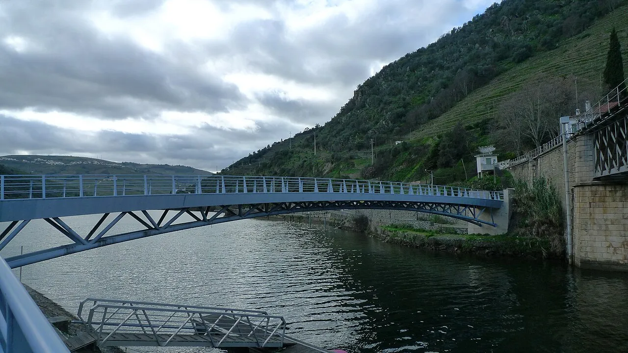
Pedestrian bridge over the Pinhão river
Located in Pinhão, Alijó Municipality Coordinates: 41°11′25″ N 7°32′54″ W
- Local time
- UTC+00:00
- Europe/Lisbon · UTC+00:00
- Elevation
- 75 m
- above sea level
- Airports
- VRL Vila Real Airport17 km
- VSE Aerodromo Goncalves Lobato (Viseu Airport)59 km
About Pedestrian bridge over the Pinhão river
Pedestrian bridge over the Pinhão river is a landmark. Location: Pinhão, Alijó Municipality. The best months to visit are May–October. The nearest airport is Vila Real Airport (17 km). Nearby sights include Ponte ferroviária sobre o rio Pinhão and Ponte rodoviária sobre o rio Pinhão.
Photos of Pedestrian bridge over the Pinhão river
-

Vitor Oliveira from Torres Vedras, PORTUGAL · CC BY-SA 2.0 -

Scott Dexter from Brooklyn, US · CC BY-SA 2.0 -
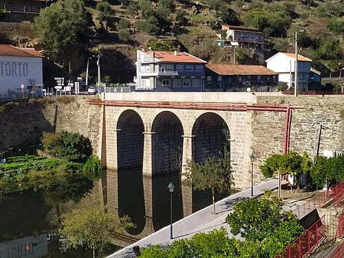
Ponte rodoviária sobre o rio Pinhão Vanbasten 23 · CC BY-SA 3.0 -
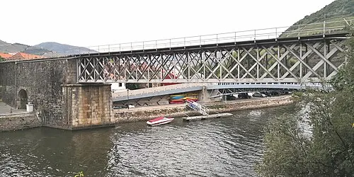
Ponte ferroviária sobre o rio Pinhão sanjorgepinho · CC BY-SA 4.0


Climate of Pedestrian bridge over the Pinhão river
Best months for sightseeingBest months for sightseeing: May–October.
This month · November
A wet month
Day 17° · Night 9° · Rain 156 mm
- Hottest month
- August (day 28°)
- Coldest month
- January (night 6°)
- Wettest month
- January (174 mm)
- Driest month
- July (14 mm)
Bars: average monthly low and high temperature. Below: precipitation. Monthly averages for 1970–2000 at about 18 km resolution, adjusted for elevation. Highlighted months are mild and relatively dry. Source: WorldClim 2.1 (CC BY 4.0).
Show values as a table
| Month | Jan | Feb | Mar | Apr | May | Jun | Jul | Aug | Sep | Oct | Nov | Dec |
|---|---|---|---|---|---|---|---|---|---|---|---|---|
| Average high (°C) | 14° | 15° | 17° | 19° | 21° | 26° | 28° | 28° | 26° | 21° | 17° | 14° |
| Average low (°C) | 6° | 7° | 8° | 9° | 12° | 15° | 17° | 17° | 16° | 13° | 9° | 7° |
| Precipitation (mm) | 174 | 160 | 100 | 107 | 85 | 52 | 14 | 17 | 61 | 115 | 156 | 170 |
Other places to visit in this season: May June July August September October
How to get to Pedestrian bridge over the Pinhão river
The nearest airport is Vila Real Airport (VRL), 17 km to the northwest as the crow flies. For international flights: Francisco de Sá Carneiro Airport (OPO) (95 km). The nearest large city is Braga, 83 km to the northwest.
Airports
- Vila Real Airport (VRL) Vila Real 17 kmnorthwest
- Aerodromo Goncalves Lobato (Viseu Airport) (VSE) Viseu 59 kmsouthwest
- Francisco de Sá Carneiro Airport (OPO) Porto 95 kmwest
Nearby large cities
- Braga Population: 193.3K 83 kmnorthwest
- Porto Population: 252.7K 89 kmwest
- Ourense Population: 105.2K 130 kmnorth
- Vigo Population: 293.6K 152 kmnorthwest
- Salamanca Population: 144.8K 160 kmeast
Straight-line distances; road distances are longer. Airport data: OurAirports.
Day trips from Pedestrian bridge over the Pinhão river
Within 100 km: 38 historic and cultural sites, 188 natural sites, 79 lakes, rivers and coasts.
0–25 km10 places
- Serra do Reboledo Mountain 19 kmSE
- Pendão Mountain 20 kmSE
- Cerro do Melão Mountain 21 kmSE
- Serra de Ervilhaio Mountain 9 kmSE
25–60 km62 places
- Serra da Garraia Mountain 31 kmNE
- Serra das Lojas Mountain 51 kmNW
- Serra de Leomil Mountain 27 kmSW
- Serra da Infesta Mountain 47 kmNW
60–100 km233 places
- Sierra de Larouca Mountain 81 kmN
- Monteagudo Mountain 81 kmN
- Monte Uzal Mountain 90 kmN
- Penedo do Subiado Mountain 87 kmN
Straight-line distances.
Nearby attractions & nature
Everything nearby-
Ponte ferroviária sobre o rio Pinhão Landmark, Pinhão<0.1 km W
-
Ponte rodoviária sobre o rio Pinhão Landmark, União das freguesias de Provesende, Gouvães do Douro e São Cristóvão do Douro0.5 km N
-
Vale de Ervedosa Natural site, Ervedosa do Douro4.1 km E
-
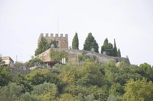 Castelo de Lamego Historic site, Lamego (Almacave e Sé)24 km SW
-
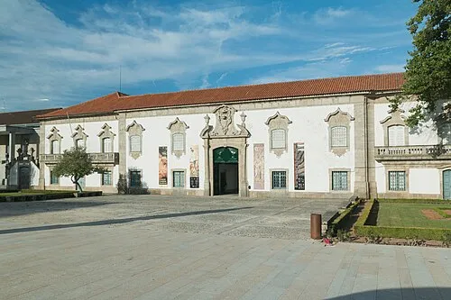 Museu de Lamego Museum, Lamego (Almacave e Sé)24 km SW
-
Serra de Ervilhaio Mountain, União das freguesias de São João da Pesqueira e Várzea de Trevões9.4 km SE
-
Serra do Reboledo Mountain, Penela da Beira19 km SE
-
Pendão Mountain, Viseu District20 km SE
Nearest towns and villages
-
Pinhão Village, Pinhão0.3 km E
-
União das freguesias de Provesende, Gouvães do Douro e São Cristóvão do Douro Municipality, Sabrosa Municipality2.7 km NW
-
União das freguesias de Vale de Mendiz, Casal de Loivos e Vilarinho de Cotas Municipality, Alijó Municipality3.4 km NE
-
Covas do Douro Municipality, Sabrosa Municipality3.6 km W
Sources & licences
Data last updated: