- Elevation
- 969 m
- above sea level
- Local time
- UTC+03:00
- Europe/Istanbul · UTC+03:00
- Airports
- ESB Esenboğa International Airport66 km
- ONQ Zonguldak Çaycuma Airport121 km
About Peçenek Bucağı
Peçenek Bucağı is a municipality. Location: Ankara Province, Turkey. Elevation: 969 m. The best months to visit are May–June, September. The nearest airport is Esenboğa International Airport (66 km). Nearby sights include Sökmen Çayı and Derecik Deresi.
Climate of Peçenek Bucağı
Best months for sightseeingBest months for sightseeing: May–June, September.
This month · November
A cold month
Day 11° · Night 2° · Rain 42 mm
- Hottest month
- July (day 28°)
- Coldest month
- January (night -4°)
- Wettest month
- December (74 mm)
- Driest month
- August (18 mm)
Bars: average monthly low and high temperature. Below: precipitation. Monthly averages for 1970–2000 at about 18 km resolution, adjusted for elevation. Highlighted months are mild and relatively dry. Source: WorldClim 2.1 (CC BY 4.0).
Show values as a table
| Month | Jan | Feb | Mar | Apr | May | Jun | Jul | Aug | Sep | Oct | Nov | Dec |
|---|---|---|---|---|---|---|---|---|---|---|---|---|
| Average high (°C) | 3° | 5° | 10° | 16° | 21° | 25° | 28° | 28° | 24° | 18° | 11° | 5° |
| Average low (°C) | -4° | -2° | 0° | 5° | 9° | 12° | 14° | 14° | 11° | 7° | 2° | -1° |
| Precipitation (mm) | 65 | 52 | 52 | 56 | 69 | 48 | 24 | 18 | 19 | 30 | 42 | 74 |
How to get to Peçenek Bucağı
The nearest airport is Esenboğa International Airport (ESB), 66 km to the southeast as the crow flies. The nearest large city is Bolu, 70 km to the northwest.
Airports
- Esenboğa International Airport (ESB) Ankara 66 kmsoutheast
- Zonguldak Çaycuma Airport (ONQ) Zonguldak 121 kmnorth
- Kastamonu Airport (KFS) Kastamonu 158 kmnortheast
Nearby large cities
- Bolu Population: 184.7K 70 kmnorthwest
- Ankara Population: 3.5M 72 kmsoutheast
- Çankaya Population: 792.2K 73 kmsoutheast
- Gölbaşı Population: 165.2K 82 kmsoutheast
- Karabük Population: 125.4K 90 kmnorth
Straight-line distances; road distances are longer. Airport data: OurAirports.
Day trips from Peçenek Bucağı
Within 100 km: 71 historic and cultural sites, 758 natural sites, 264 lakes, rivers and coasts.
0–25 km24 places
- Mahiye Tepesi Mountain 16 kmW
- Kavaklıdağ Tepesi Mountain 18 kmSW
- Karıncalı Tepe Mountain 19 kmNW
- Göl Dağı Mountain 24 kmS
25–60 km295 places
- Yunus Emre Göleti Lake 55 kmSE
- Yeniçağa Gölü Lake 47 kmNW
- Koca Gölü Lake 47 kmN
- Aladağ Göleti Lake 59 kmW
60–100 km774 places
- Lake Mogan Lake 83 kmSE
- Lake Eymir Lake 80 kmSE
- Sazak Göleti Lake 92 kmSW
- Sarıyar Barajı Lake 74 kmSW
Straight-line distances.
Nearby attractions & nature
Everything nearby-
Sökmen Çayı River, Ankara Province4.8 km SE
-
Derecik Deresi River, Ankara Province7.9 km N
-
Sorgun Deresi River, Ankara Province6.9 km SE
-
Akkuş Deresi River, Ankara Province7.6 km NW
-
Atça Natural site, Ankara Province11 km NE
-
Yedidedeler Tepesi Mountain, Gerede19 km NW
-
Erenler Tepesi Mountain, Bolu Province15 km N
-
Civcan Dağı Mountain, Gerede22 km N
Other cities and towns in Ankara Province
-
Çamlıdere City, Çamlıdere İlçesi14 km NE
-
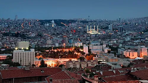 Ankara City, Ankara Province72 km SE
-
Çeltikçi Bucağı Municipality, Ankara Province17 km SE
-
Kızılcahamam City, Kızılcahamam İlçesi28 km E
-
Güdül Town, Güdül İlçesi25 km S
-
Kazan City, Kahramankazan38 km SE
Sources & licences
Data last updated: