- Elevation
- 8 m
- above sea level
- Local time
- UTC+03:00
- Europe/Istanbul · UTC+03:00
- Airports
- DLM Dalaman International Airport75 km
- RHO Rhodes International Airport "Diagoras"116 km
About Çatal Adalar
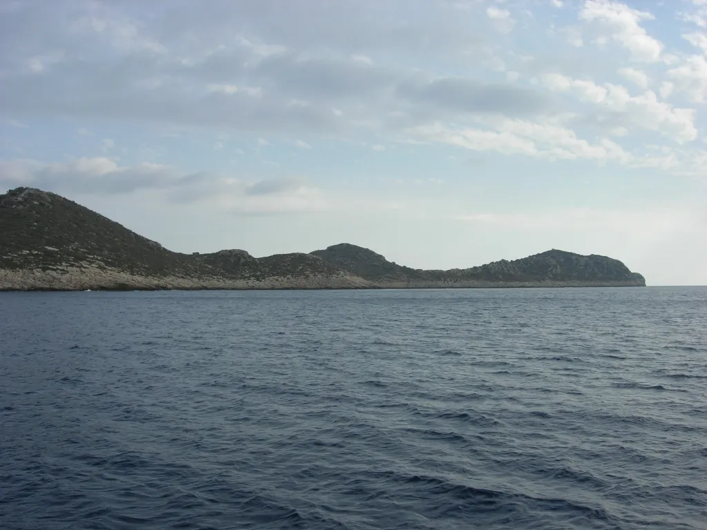
Çatal Adalar is an island. Location: Antalya Province, Turkey. The best months to visit are April–May, November. The nearest airport is Dalaman International Airport (75 km). Nearby sights include Yılan Ada and Sıçan Adası.
Climate of Çatal Adalar
Best months for sightseeingBest months for sightseeing: April–May, November.
This month · November
A good month to visit
Day 22° · Night 11° · Rain 88 mm
- Hottest month
- August (day 35°)
- Coldest month
- January (night 7°)
- Wettest month
- January (159 mm)
- Driest month
- August (5 mm)
Bars: average monthly low and high temperature. Below: precipitation. Monthly averages for 1970–2000 at about 18 km resolution, adjusted for elevation. Highlighted months are mild and relatively dry. Source: WorldClim 2.1 (CC BY 4.0).
Show values as a table
| Month | Jan | Feb | Mar | Apr | May | Jun | Jul | Aug | Sep | Oct | Nov | Dec |
|---|---|---|---|---|---|---|---|---|---|---|---|---|
| Average high (°C) | 16° | 16° | 19° | 23° | 27° | 32° | 35° | 35° | 32° | 27° | 22° | 17° |
| Average low (°C) | 7° | 8° | 9° | 12° | 16° | 20° | 22° | 22° | 19° | 15° | 11° | 9° |
| Precipitation (mm) | 159 | 119 | 74 | 39 | 26 | 12 | 7 | 5 | 13 | 56 | 88 | 158 |
How to get to Çatal Adalar
The nearest airport is Dalaman International Airport (DLM), 75 km to the northwest as the crow flies. The nearest large city is Antalya, 142 km to the northeast.
Airports
- Dalaman International Airport (DLM) Dalaman 75 kmnorthwest
- Rhodes International Airport "Diagoras" (RHO) Rhodes 116 kmwest
- Antalya International Airport (AYT) Antalya 150 kmnortheast
Nearby large cities
- Antalya Population: 1.3M 142 kmnortheast
- Muratpaşa Population: 450K 147 kmnortheast
- Denizli Population: 313.2K 174 kmnorth
- Merkezefendi Population: 280.3K 178 kmnorth
- Isparta Population: 172.3K 202 kmnortheast
Straight-line distances; road distances are longer. Airport data: OurAirports.
Day trips from Çatal Adalar
Within 100 km: 18 historic and cultural sites, 187 natural sites, 147 lakes, rivers and coasts.
0–25 km36 places
- Öksüz Adası Island 9 kmSE
- Gürmenli Adası Island 18 kmE
- Heybeli Ada Island 7 kmE
- Boğazcık Adası Island 8 kmE
25–60 km112 places
- Çalış Beach Beach 54 kmNW
- Ölüdeniz Plajı Beach 42 kmNW
- Kidrak Beach Beach 40 kmNW
- Kabak Beach Beach 34 kmNW
60–100 km204 places
- Stavro Islands Island 66 kmNW
- Tersaneh Island Island 64 kmNW
- Paximadi Island Island 62 kmNW
- Rothea Island Island 70 kmNW
Straight-line distances.
Nearest towns and villages

Nearby attractions & nature
Everything nearby-
Yılan Ada Island, Antalya Province0.4 km SW
-
Sıçan Adası Island, Antalya Province1.3 km NE
-
Eren Tepe Mountain, Kaş İlçesi3.7 km N
-
Ova Gölü Lake, Antalya Province5.6 km N
-
Heybeli Ada Island, Antalya Province7.2 km E
-
Boğazcık Adası Island, Antalya Province8.3 km E
-
Sarıbelen Adası Island, Antalya Province8 km E
-
Öksüz Adası Island, Antalya Province8.9 km SE
More lakes, rivers and coasts in Turkey
-
Gürmenli Adası Island, Antalya Province18 km E
-
 İçada Island, Antalya Province37 km E
-
Dargaz Çayı River, Antalya Province23 km NE
-
Kızıl Göl Lake, Antalya Province25 km NE
-
Kara Çayı River, Antalya Province24 km NE
-
Heybeli Adası Island, Antalya Province25 km E
Sources & licences
Data last updated: