- Elevation
- 1 m
- above sea level
- Local time
- UTC+03:00
- Europe/Istanbul · UTC+03:00
- Airports
- AYT Antalya International Airport32 km
- ISE Süleyman Demirel International Airport132 km
About Göynük Çayı
Göynük Çayı is a river. Location: Antalya Province, Turkey. The best months to visit are April–May, October–November. The nearest airport is Antalya International Airport (32 km). Nearby sights include Reisburnu Tepesi and Kara Tepe.
Climate of Göynük Çayı
Best months for sightseeingBest months for sightseeing: April–May, October–November.
This month · November
A good month to visit
Day 20° · Night 9° · Rain 79 mm
- Hottest month
- July (day 36°)
- Coldest month
- January (night 5°)
- Wettest month
- December (124 mm)
- Driest month
- July (9 mm)
Bars: average monthly low and high temperature. Below: precipitation. Monthly averages for 1970–2000 at about 18 km resolution, adjusted for elevation. Highlighted months are mild and relatively dry. Source: WorldClim 2.1 (CC BY 4.0).
Show values as a table
| Month | Jan | Feb | Mar | Apr | May | Jun | Jul | Aug | Sep | Oct | Nov | Dec |
|---|---|---|---|---|---|---|---|---|---|---|---|---|
| Average high (°C) | 14° | 15° | 18° | 22° | 27° | 33° | 36° | 35° | 32° | 26° | 20° | 15° |
| Average low (°C) | 5° | 6° | 8° | 11° | 15° | 20° | 23° | 22° | 18° | 14° | 9° | 6° |
| Precipitation (mm) | 123 | 99 | 67 | 45 | 36 | 20 | 9 | 9 | 13 | 51 | 79 | 124 |
Other places to visit in this season: April May October November
How to get to Göynük Çayı
The nearest airport is Antalya International Airport (AYT), 32 km to the northeast as the crow flies. The nearest large city is Antalya, 28 km to the northeast.
Airports
- Antalya International Airport (AYT) Antalya 32 kmnortheast
- Süleyman Demirel International Airport (ISE) Isparta 132 kmnorth
- Çardak Airport (DNZ) Denizli 145 kmnorthwest
Nearby large cities
- Antalya Population: 1.3M 28 kmnortheast
- Muratpaşa Population: 450K 29 kmnortheast
- Isparta Population: 172.3K 121 kmnorth
- Alanya Population: 364.2K 129 kmeast
- Denizli Population: 313.2K 179 kmnorthwest
Straight-line distances; road distances are longer. Airport data: OurAirports.
Day trips from Göynük Çayı
Within 100 km: 80 historic and cultural sites, 858 natural sites, 229 lakes, rivers and coasts.
0–25 km73 places
- Konyaaltı Plajı Beach 22 kmN
- Bambus Plajı Beach 25 kmNE
- Üçadalar Island 24 kmS
- Sıçan Adası Island 14 kmN
25–60 km335 places
- Kumköy Plajı Beach 37 kmNE
- Özlü Plajı Beach 37 kmNE
- Lara Plajları Beach 30 kmNE
- Suluada Island 50 kmS
60–100 km759 places
- Çenger Mevki, Side, Manavgat/Antalya Beach 94 kmE
- Kekova Adası Island 83 kmSW
- Körmen Adası Island 96 kmSW
- Kara Ada Island 87 kmSW
Straight-line distances.
Nearest towns and villages
-
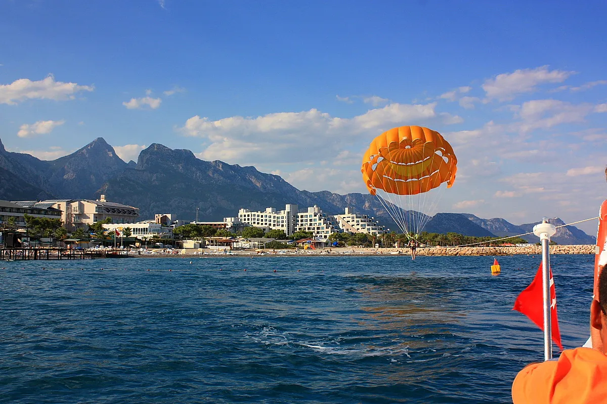 Göynük Town, Kemer İlçesi2.8 km SW
-
 Beldibi Village, Konyaaltı4.6 km N
-
Çifteçeşmeler Village, Konyaaltı1.9 km N
-
Esentepe Village, Kemer İlçesi2 km W
-
Cumhuriyet Neighbourhood, Kemer İlçesi2.7 km SW
-
İnceöz Neighbourhood, Konyaaltı3.5 km N
Nearby attractions & nature
Everything nearby-
Reisburnu Tepesi Mountain, Konyaaltı1.1 km NW
-
Kara Tepe Mountain, Kemer İlçesi1.8 km SW
-
Göynük Köprüsü Landmark, Kemer İlçesi0.2 km W
-
Yağcasu Pınarı Natural site, Kemer İlçesi2 km NW
-
Yağca Tepe Mountain, Kemer İlçesi2.3 km NW
-
Koca Tepesi Mountain, Kemer İlçesi3.7 km W
-
Sarıçınar Deresi River, Antalya Province3.9 km W
-
Kızıl Tepe Mountain, Kemer İlçesi3.8 km SW
Sources & licences
Data last updated: