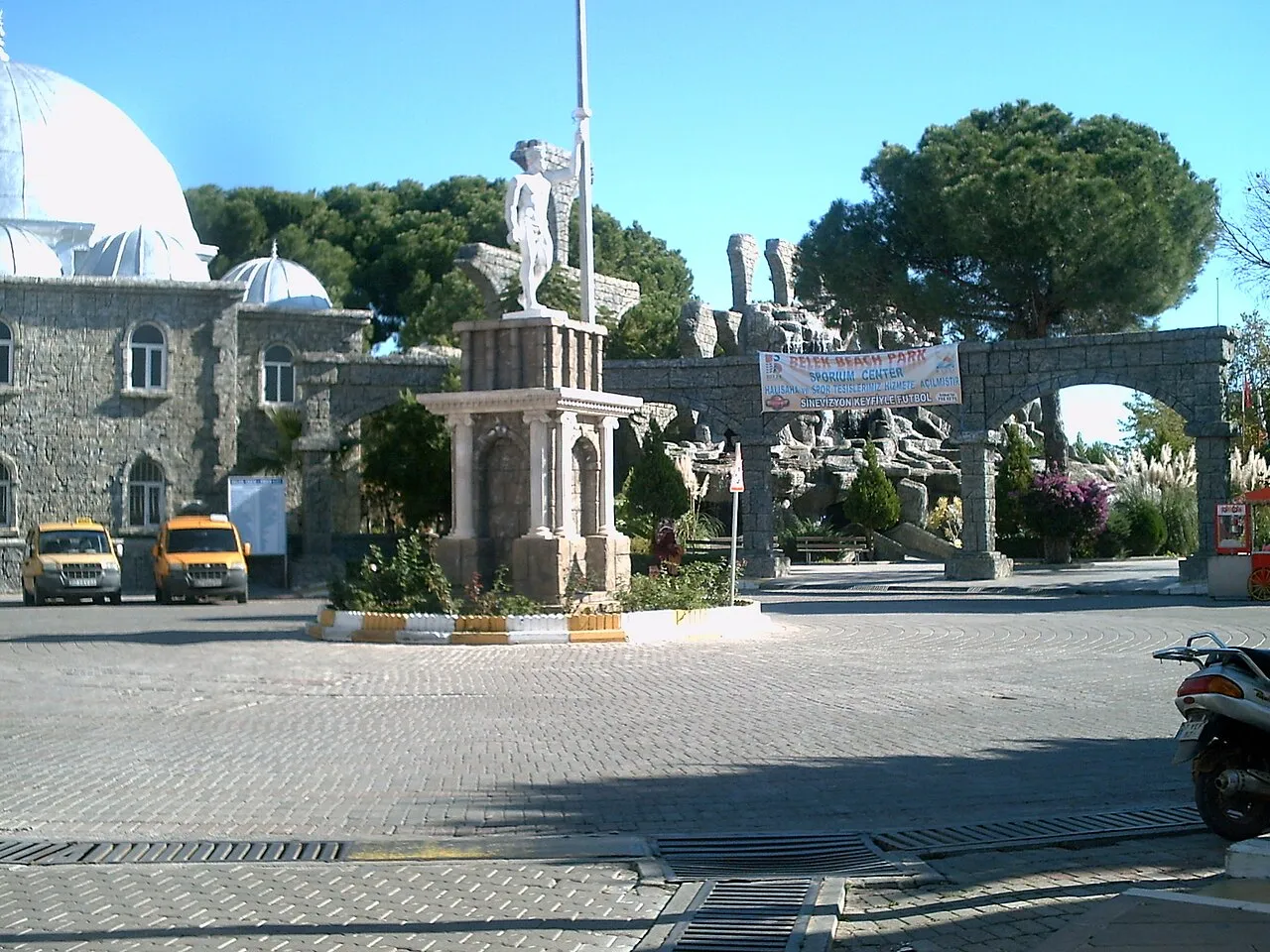
- Population
- 139,545
- 139.5K
- Elevation
- 186 m
- above sea level
- Local time
- UTC+03:00
- Europe/Istanbul · UTC+03:00
- Places inside
- 281
- listed under Serik
- Airports
- AYT Antalya International Airport27 km
- ISE Süleyman Demirel International Airport103 km
About Serik
Serik is a district. Location: Antalya Province, Turkey. Population: 139,545. The best months to visit are April–May, October. The nearest airport is Antalya International Airport (27 km). Nearby sights include Kısık Boğaz and Natıflar Deresi.
Climate of Serik
Best months for sightseeingBest months for sightseeing: April–May, October.
This month · November
Outside the best season
Day 19° · Night 8° · Rain 93 mm
Better nearby cities in November
- Alanya · 106 km southeast21°
- Silifke · 272 km east21°
- Aydin · 292 km west19°
- Hottest month
- July (day 35°)
- Coldest month
- January (night 4°)
- Wettest month
- December (143 mm)
- Driest month
- July (8 mm)
Bars: average monthly low and high temperature. Below: precipitation. Monthly averages for 1970–2000 at about 18 km resolution, adjusted for elevation. Highlighted months are mild and relatively dry. Source: WorldClim 2.1 (CC BY 4.0).
Show values as a table
| Month | Jan | Feb | Mar | Apr | May | Jun | Jul | Aug | Sep | Oct | Nov | Dec |
|---|---|---|---|---|---|---|---|---|---|---|---|---|
| Average high (°C) | 13° | 14° | 17° | 21° | 26° | 31° | 35° | 34° | 31° | 25° | 19° | 14° |
| Average low (°C) | 4° | 5° | 7° | 10° | 14° | 18° | 21° | 21° | 17° | 13° | 8° | 5° |
| Precipitation (mm) | 135 | 107 | 70 | 50 | 39 | 21 | 8 | 12 | 15 | 60 | 93 | 143 |
How to get to Serik
The nearest airport is Antalya International Airport (AYT), 27 km to the southwest as the crow flies. The nearest large city is Muratpaşa, 30 km to the southwest.
Airports
- Antalya International Airport (AYT) Antalya 27 kmsouthwest
- Süleyman Demirel International Airport (ISE) Isparta 103 kmnorthwest
- Çardak Airport (DNZ) Denizli 140 kmnorthwest
Nearby large cities
- Muratpaşa Population: 450K 30 kmsouthwest
- Antalya Population: 1.3M 33 kmsouthwest
- Isparta Population: 172.3K 86 kmnorthwest
- Alanya Population: 364.2K 107 kmsoutheast
- Konya Population: 1.4M 158 kmnortheast
Straight-line distances; road distances are longer. Airport data: OurAirports.
Day trips from Serik
Within 100 km: 82 historic and cultural sites, 1,552 natural sites, 264 lakes, rivers and coasts.
0–25 km198 places
- Sarp Dağı Mountain 10 kmN
- Bozkaya Tepe Mountain 8 kmSE
- Bozburun Dağı Mountain 22 kmN
- Kuyucak Dağı Mountain 23 kmN
25–60 km609 places
- Konyaaltı Plajı Beach 40 kmSW
- Bambus Plajı Beach 34 kmSW
- Kumköy Plajı Beach 26 kmS
- Özlü Plajı Beach 26 kmS
60–100 km1,091 places
- Çenger Mevki, Side, Manavgat/Antalya Beach 70 kmSE
- İncekum Beach 82 kmSE
- Üçadalar Island 80 kmSW
- Orta Ada Island 91 kmNE
Straight-line distances.
Places in Serik
281 places- 1 Belek 73.3K
- 2 Serik 36.9K
- 3 Kadriye 9.7K
- 4 Boğazkent 5K
- 5 Cumalı 2.1K
- 6 Çandır 1.8K
- 7 Belkıs 1.6K
- 8 Aşağı Kocayatak 1.5K
- 9 Gedik 1.4K
- 10 Şatırlı 1.3K
- 11 Kozağaç 1.1K
- 12 Kumköy 1.1K
- 13 Sarıabalı 1.1K
- 14 Dikmen 1.1K
- 15 Aspendos 1K
- 16 Kayaburnu 983
- 17 Tekkeköy 968
- 18 Deniztepesi 912
- 19 Töngüşlü 847
- 20 Üründü 795
- 21 Yumaklar 780
- 22 Pınarcık 744
- 23 Yanköy 692
- 24 Etler 659
- 25 Eskiyürük 655
- 26 Eminciler 618
- 27 Yeşilyurt 585
- 28 Akbaş 560
- 29 Bilginler 515
- 30 Akçapınar 435
- 31 Bugus 412
- 32 Zırlankaya 400
- 33 Haskızılören 391
- 34 Aşağıoba 388
- 35 Çanakçı 374
- 36 Kozan 331
- 37 Dorumlar 329
- 38 Karıncalı 301
- 39 Çatallar 285
- 40 Yukarıçatma 276
- 41 Hacıosmanlar 267
- 42 Hasdümen 262
- 43 Kuşlar 247
- 44 Aşağıçatma 240
- 45 Alacami 235
- 46 Bucakköy 231
- 47 Berendi 215
- 48 Gökçepınar 202
- 49 Hasgebe 190
- 50 Demirciler 182
- 51 Kırbaş 179
- 52 Bozdoğan 133
- 53 Nebiler 83
Bar: population relative to the most populous place in this list.
Cities & villages2
- Abdurrahmanlar · Village
- Ahmediye · Village
Mountains & nature3
- Adazeytin Tepesi · Mountain
- Akarca Tepesi · Mountain
- Akbelen Tepesi · Mountain
Lakes, rivers & coasts2
- Akarkuyu Deresi · River
- Akgeçit Deresi · River
Nearby attractions & nature
Everything nearby-
Kısık Boğaz Natural site, Antalya Province11 km SE
-
Natıflar Deresi River, Antalya Province9.9 km NW
-
Çığırgan Deresi River, Antalya Province11 km W
-
Ninnisuyu River, Antalya Province12 km W
-
Kelmen Deresi River, Antalya Province13 km E
-
Balık Dere River, Antalya Province13 km E
Sources & licences
Data last updated: