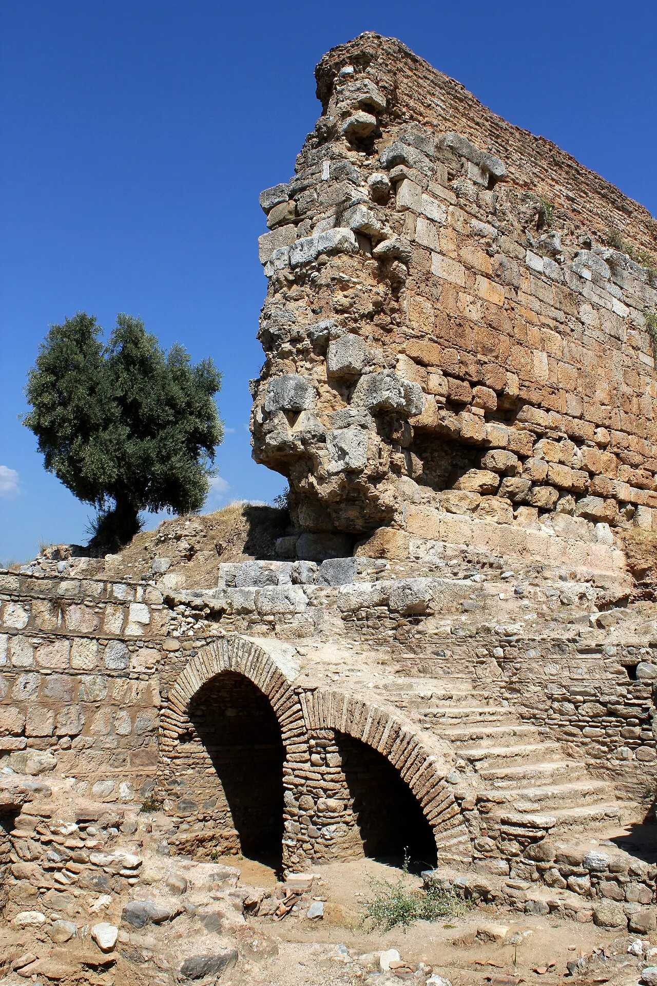
- Population
- 265,234
- 265.2K
- Elevation
- 57 m
- above sea level
- Local time
- UTC+03:00
- Europe/Istanbul · UTC+03:00
- Places inside
- 85
- listed under Efeler
- Airports
- BJV Milas Bodrum International Airport67 km
- ADB Adnan Menderes International Airport79 km
About Efeler
Efeler is a district. Location: Aydın Province, Turkey. Population: 265,234. The best months to visit are April–May, October–November. The nearest airport is Milas Bodrum International Airport (67 km). Nearby sights include Tabakhane Deresi and Çine Çayı.
Climate of Efeler
Best months for sightseeingBest months for sightseeing: April–May, October–November.
This month · November
A good month to visit
Day 20° · Night 9° · Rain 83 mm
- Hottest month
- July (day 36°)
- Coldest month
- January (night 5°)
- Wettest month
- December (147 mm)
- Driest month
- August (8 mm)
Bars: average monthly low and high temperature. Below: precipitation. Monthly averages for 1970–2000 at about 18 km resolution, adjusted for elevation. Highlighted months are mild and relatively dry. Source: WorldClim 2.1 (CC BY 4.0).
Show values as a table
| Month | Jan | Feb | Mar | Apr | May | Jun | Jul | Aug | Sep | Oct | Nov | Dec |
|---|---|---|---|---|---|---|---|---|---|---|---|---|
| Average high (°C) | 14° | 14° | 18° | 22° | 28° | 33° | 36° | 35° | 32° | 26° | 20° | 15° |
| Average low (°C) | 5° | 6° | 7° | 11° | 15° | 19° | 22° | 21° | 18° | 14° | 9° | 7° |
| Precipitation (mm) | 131 | 108 | 81 | 59 | 40 | 21 | 9 | 8 | 17 | 42 | 83 | 147 |
Other places to visit in this season: April May October November
How to get to Efeler
The nearest airport is Milas Bodrum International Airport (BJV), 67 km to the south as the crow flies. The nearest large city is Aydin, 1 km to the northwest.
Airports
- Milas Bodrum International Airport (BJV) Bodrum 67 kmsouth
- Adnan Menderes International Airport (ADB) Gaziemir 79 kmnorthwest
- Samos Airport (SMI) Samos Island 84 kmwest
Nearby large cities
- Aydin Population: 163K 1 kmnorthwest
- Nazilli Population: 119.4K 43 kmeast
- Turgutlu Population: 103.3K 74 kmnorth
- Salihli Population: 119.3K 76 kmnorth
- Karabağlar Population: 479.3K 87 kmnorthwest
Straight-line distances; road distances are longer. Airport data: OurAirports.
Day trips from Efeler
Within 100 km: 103 historic and cultural sites, 219 natural sites, 203 lakes, rivers and coasts.
0–25 km20 places
- Subice Dağı Mountain 24 kmSW
- Oynak Dağı Mountain 13 kmSE
- Köstepe Mountain 21 kmSW
- İmambaba Tepesi Mountain 13 kmN
25–60 km145 places
- Kadınlar Plajı Beach 53 kmW
- Karga Adası Island 54 kmW
- Yaylakavak Barajı Lake 29 kmS
- Kara Göl Lake 59 kmS
60–100 km360 places
- Moní Megális Panagías Attraction 90 kmW
- Iasos Historic site 66 kmS
- Karabel relief Historic site 68 kmNW
- Gümbet Plajı Beach 98 kmSW
Straight-line distances.
Places in Efeler
85 places- 1 Aydin 163K
- 2 Umurlu 12K
- 3 Çeştepe 5.8K
- 4 Işıklı 4.8K
- 5 Tepecik 3.8K
- 6 Kardeşköy 2.7K
- 7 Dalama 1.8K
- 8 Kadıköy 1.8K
- 9 Kuyulu 1.4K
- 10 Emirdoğan 1.3K
- 11 Baltaköy 1.1K
- 12 Yılmazköy 1K
- 13 Kocagür 916
- 14 Konuklu 814
- 15 Gölhisar 685
- 16 Şahnalı 621
- 17 Pınardere 610
- 18 Karahayıt 499
- 19 Ortaköy 492
- 20 Kozalaklı 477
- 21 Armutlu 465
- 22 Kuyucular 445
- 23 Yukarıkayacık 444
- 24 Alanlı 436
- 25 Dağeymiri 429
- 26 Kuloğullar 402
- 27 Kırıklar 388
- 28 Doğan 382
- 29 Serçeköy 363
- 30 Savrandere 347
- 31 Gözpınar 340
- 32 Gödrenli 336
- 33 Musluca 310
- 34 Çayyüzü 296
- 35 Karaköy 294
- 36 Şevketiye 258
- 37 Kalfaköy 236
- 38 Mesutlu 229
- 39 Kenger 226
- 40 Çiftlikköy 192
- 41 Ambarcık 188
- 42 Danişment 185
- 43 Böcekköy 171
- 44 Balıkköy 158
- 45 Horozköy 157
- 46 Alatepe 151
- 47 Tepeköy 134
- 48 Bademli 126
- 49 Gölcük 118
- 50 Sıralılar 63
- 51 Yağcılar 36
Bar: population relative to the most populous place in this list.
Cities & villages7
- Aşağı Kayacık · Village
- Aydın Bucağı · Municipality
- Baklacık · Village
- Çatak Mahallesi · Village
- Dağbağ Mahallesi · Village
- Dereköy · Village
- Eğrikavak · Village
Mountains & nature1
- Cevizli Dağ · Mountain
Heritage & sights1
- Aydın Arkeoloji Müzesi · Museum
Nearby attractions & nature
Everything nearby-
Tabakhane Deresi River, Aydın Province8 km S
-
Çine Çayı River, Aydın Province8.4 km S
-
İkiz Dere River, Aydın Province11 km SW
-
Musluca Çayı River, Aydın Province12 km E
-
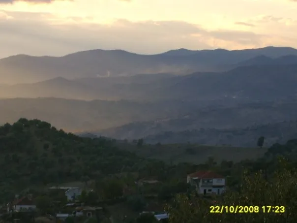 Aydın Dağları Mountain, Turkey20 km NE
-
Madran Çayı River, Aydın Province21 km S
Sources & licences
Data last updated: