- Population
- 74,207
- 74.2K
- Elevation
- 658 m
- above sea level
- Local time
- UTC+03:00
- Europe/Istanbul · UTC+03:00
- Airports
- DIY Diyarbakır Airport26 km
- MQM Mardin Airport59 km
About Çınar
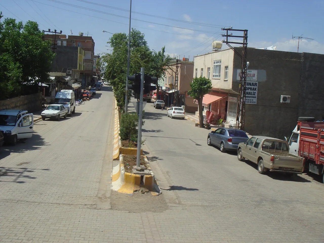
Çınar is a city. Location: Çınar İlçesi, Diyarbakır Province. Population: 74,207. Elevation: 658 m.
Çınar (Kurdish: Çinar/Axpar) is a municipality and district of Diyarbakır Province, Turkey. Its area is 1,934 km2, and its population is 76,966 (2022). In the local elections 2019 Bedri Kaya was elected Mayor. Muhammed Fatih Günlü was appointed District Governor in 2022. The historic ruined Zerzevan Castle is located 13 km (8.1 mi) southeast of Çınar town.
Source: Wikipedia · CC BY-SA 4.0
Photos of Çınar
-

Dûrzan Cîrano · CC BY-SA 4.0 -

Dûrzan Cîrano · CC BY-SA 4.0 -

Dûrzan · CC BY-SA 3.0 -

MikaelF · CC BY-SA 3.0 -

Resad Sorgul · CC BY-SA 4.0


Climate of Çınar
Best months for sightseeingBest months for sightseeing: April–May, October.
This month · November
Outside the best season
Day 16° · Night 3° · Rain 57 mm
Better nearby cities in November
- Kızıltepe · 61 km south19°
- Viranşehir · 80 km southwest18°
- Cizre · 163 km east20°
- Hottest month
- July (day 39°)
- Coldest month
- January (night -2°)
- Wettest month
- January (84 mm)
- Driest month
- July (1 mm)
Bars: average monthly low and high temperature. Below: precipitation. Monthly averages for 1970–2000 at about 18 km resolution, adjusted for elevation. Highlighted months are mild and relatively dry. Source: WorldClim 2.1 (CC BY 4.0).
Show values as a table
| Month | Jan | Feb | Mar | Apr | May | Jun | Jul | Aug | Sep | Oct | Nov | Dec |
|---|---|---|---|---|---|---|---|---|---|---|---|---|
| Average high (°C) | 7° | 9° | 15° | 21° | 27° | 35° | 39° | 38° | 34° | 25° | 16° | 9° |
| Average low (°C) | -2° | -1° | 3° | 7° | 12° | 17° | 22° | 21° | 16° | 10° | 3° | 0° |
| Precipitation (mm) | 84 | 80 | 84 | 74 | 39 | 8 | 1 | 1 | 3 | 32 | 57 | 81 |
How to get to Çınar
The nearest airport is Diyarbakır Airport (DIY), 26 km to the northwest as the crow flies. The nearest large city is Diyarbakır, 27 km to the northwest.
Airports
- Diyarbakır Airport (DIY) Diyarbakır 26 kmnorthwest
- Mardin Airport (MQM) Mardin 59 kmsouth
- Batman Airport (BAL) Batman 67 kmeast
Nearby large cities
- Diyarbakır Population: 1.8M 27 kmnorthwest
- Mardin Population: 129.9K 54 kmsoutheast
- Kızıltepe Population: 150.2K 61 kmsouth
- Batman Population: 452.2K 66 kmeast
- Viranşehir Population: 154.2K 80 kmsouthwest
Straight-line distances; road distances are longer. Airport data: OurAirports.
Day trips from Çınar
Within 100 km: 157 historic and cultural sites, 841 natural sites, 330 lakes, rivers and coasts.
0–25 km107 places
- Göksu Barajı Lake 7 kmSE
- Beşpınar Göleti Lake 7 kmNW
- Kabaklı Sulama Göleti Lake 24 kmNW
- Tavşan Tepesi Mountain 3 kmN
25–60 km509 places
- Devegeçidi Barajı Lake 53 kmNW
- Sabun Gölü Lake 42 kmE
- Çiftgöller Lake 42 kmNE
- İbrahim Göl Lake 38 kmNE
60–100 km712 places
- Kışlak Historic site 64 kmE
- Kırkat Göleti Lake 85 kmE
- Batman Barajı Lake 84 kmNE
- Dipni Barajı Lake 83 kmN
Straight-line distances.
Çınar and similar cities
Side by side with cities of similar size in the same country: population, elevation and climate.
| Measure | Çınar | Bilecik | Bismil | Tatvan |
|---|---|---|---|---|
| Population | 74.2K | 74.5K | 74.5K | 73.2K |
| Elevation | 658 m | 517 m | 543 m | 1,682 m |
| Summer day (hottest month) | 39° | 28° | 40° | 29° |
| Winter night (coldest month) | -2° | -1° | -2° | -5° |
| Annual rainfall | 544 mm | 530 mm | 575 mm | 859 mm |
| Best months | Apr–May, Oct | May–Oct | Apr–May, Oct | Jun, Sep |
| Distance | — | 943 km | 26 km | 185 km |
Climate values are 1970–2000 monthly averages; straight-line distance.
Nearby attractions & nature
Everything nearby-
Körhi Tepe Mountain, Çınar İlçesi2 km NW
-
Tavşan Tepesi Mountain, Çınar İlçesi3.2 km N
-
Zarköy Deresi River, Diyarbakır Province4.9 km SE
-
Göksu Çayı River, Diyarbakır Province5.2 km SE
-
Kuruçay Dere River, Diyarbakır Province6.1 km NW
-
Güzeller Tepesi Mountain, Çınar İlçesi9.5 km SW
-
Göksu Barajı Lake, Diyarbakır Province7 km SE
-
Tahtaayşe Tepe Mountain, Çınar İlçesi13 km SW
Sources & licences
Data last updated: · 2 independent sources