Şanlıurfa Province
Local name: Şanlıurfa ili
Located in Turkey Coordinates: 37°12′46″ N 38°46′54″ E
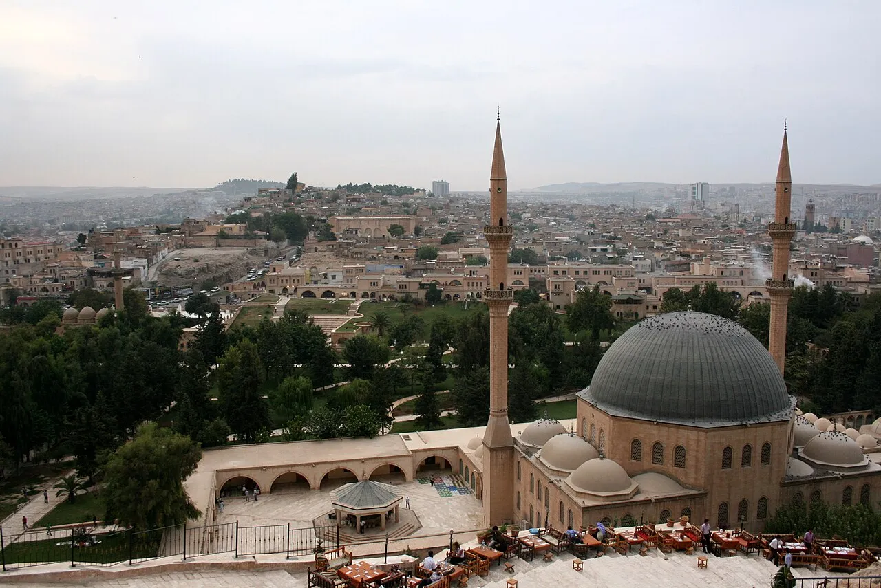
- Population
- 2,170,110
- 2.2M
- Elevation
- 688 m
- above sea level
- Local time
- UTC+03:00
- Europe/Istanbul · UTC+03:00
- Places inside
- 128
- listed under Şanlıurfa Province
- Airports
- GNY Şanlıurfa GAP Airport28 km
- ADF Adıyaman Airport64 km
About Şanlıurfa Province
Şanlıurfa Province is a region. Location: Turkey. Population: 2,170,110.
Şanlıurfa Province (Turkish: Şanlıurfa ili; Kurdish: Parêzgeha Rihayê), also known as Urfa Province, is a province and metropolitan municipality in southeastern Turkey. The city of Şanlıurfa is the capital of the province which bears its name. Its area is 19,242 km2, and its population is 2,170,110 (2022). The province is considered part of Turkish Kurdistan and has a Kurdish majority with a significant Arab and Turkish minority.
Source: Wikipedia · CC BY-SA 4.0
Places bordering Şanlıurfa Province
Climate of Şanlıurfa Province
Best months for sightseeingBest months for sightseeing: April–May, October.
This month · November
Outside the best season
Day 18° · Night 6° · Rain 52 mm
Better nearby cities in November
- Suruç · 41 km southwest20°
- Viranşehir · 86 km east18°
- Kızıltepe · 159 km east19°
- Hottest month
- July (day 39°)
- Coldest month
- January (night 0°)
- Wettest month
- December (88 mm)
- Driest month
- July (1 mm)
Bars: average monthly low and high temperature. Below: precipitation. Monthly averages for 1970–2000 at about 18 km resolution, adjusted for elevation. Highlighted months are mild and relatively dry. Source: WorldClim 2.1 (CC BY 4.0).
Show values as a table
| Month | Jan | Feb | Mar | Apr | May | Jun | Jul | Aug | Sep | Oct | Nov | Dec |
|---|---|---|---|---|---|---|---|---|---|---|---|---|
| Average high (°C) | 9° | 11° | 16° | 22° | 28° | 34° | 39° | 38° | 34° | 26° | 18° | 11° |
| Average low (°C) | 0° | 1° | 4° | 9° | 14° | 19° | 23° | 22° | 18° | 13° | 6° | 2° |
| Precipitation (mm) | 82 | 72 | 73 | 54 | 34 | 5 | 1 | 1 | 2 | 30 | 52 | 88 |
How to get to Şanlıurfa Province
The nearest airport is Şanlıurfa GAP Airport (GNY), 28 km to the north as the crow flies. The nearest large city is Sanliurfa, 5 km to the south.
Airports
- Şanlıurfa GAP Airport (GNY) Şanlıurfa 28 kmnorth
- Adıyaman Airport (ADF) Adıyaman 64 kmnorthwest
- Gaziantep Oğuzeli International Airport (GZT) Gaziantep 120 kmwest
Nearby large cities
- Sanliurfa Population: 449.5K 5 kmsouth
- Suruç Population: 101.2K 41 kmsouthwest
- Adıyaman Population: 290.9K 76 kmnorthwest
- Siverek Population: 175.3K 77 kmnortheast
- Viranşehir Population: 154.2K 86 kmeast
Straight-line distances; road distances are longer. Airport data: OurAirports.
Places in Şanlıurfa Province
128 places- 1 Sanliurfa 449.5K
- 2 Eyyübiye 360.5K
- 3 Haliliye 347.7K
- 4 Siverek İlçesi 267.9K
- 5 Viranşehir İlçesi 207.3K
- 6 Karaköprü 103.5K
- 7 Suruç İlçesi 101K
- 8 Akçakale İlçesi 95.7K
- 9 Birecik District 93.6K
- 10 Ceylanpınar İlçesi 90.4K
- 11 Harran İlçesi 75.7K
- 12 Bozova District 52.7K
- 13 Hilvan İlçesi 42.2K
- 14 Halfeti District 38.7K
- 15 Hisar 1K
Bar: population relative to the most populous place in this list.
Cities & villages13
- Akçakale Bucağı · Municipality
- Akziyaret Bucağı · Municipality
- Birecik Bucağı · Municipality
- Bizmare · Village
- Böğürtlen Bucağı · Municipality
- Bucak Bucağı · Municipality
- Bulaklı · Village
- Çamlıdere Bucağı · Municipality
- Çaylarbaşı Bucağı · Municipality
- Ceylanpınar Bucağı · Municipality
- Dağbaşı Bucağı · Municipality
- Demirci Bucağı · Municipality
- Gölcük Bucağı · Municipality
Mountains & nature1
- Gory Germush · Mountain
Lakes, rivers & coasts31
- Akziyaret Dere · River
- Alikuran Dere · River
- Aliyerelli Deresi · River
- Altınbaşak Deresi · River
- Asmayolu Deresı · River
- Bağ Dere · River
- Bal Deresi · River
- Beşkardeş Dere · River
- Bozuklar Dere · River
- Büyükoğlan Dere · River
- Çam Çayı · River
- Camdere · River
- Çam Dere · River
- Çam Deresi · River
- Çatal Dere · River
- Çayiçi Deresi · River
- Çermelik Deresi · River
- Çeşmebaşı Deresı · River
- Çirçip Deresi · River
- Cudi Deresi · River
- Darbı Deresi · River
- Delik Deresi · River
- Devekıran Deresi · River
- Devres Dere · River
- Domuz Dere · River
- Düzlüktaş Deresi · River
- Gölboğa Deresi · River
- Göltarla Deresı · River
- Gümgüm Deresi · River
- Hallaç Deresi · River
- Harabe Dere · River
Largest cities and towns
-
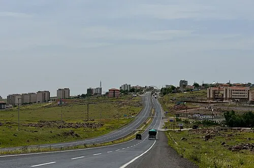 Siverek City, Siverek İlçesi175.3K
-
Suruç City, Suruç İlçesi101.2K
-
Birecik City, Birecik District44.3K
-
Ceylanpınar City, Ceylanpınar İlçesi31.5K
-
Viranşehir City, Viranşehir İlçesi154.2K
-
Bozova City, Bozova District21.5K
-
Harran City, Harran İlçesi13.6K
-
Hilvan City, Hilvan İlçesi17K
Nature and heritage in Şanlıurfa Province
Other regions in Turkey
-
Adıyaman Province Region, Turkey76 km NW
-
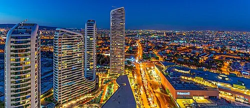 Gaziantep Province Region, Turkey129 km W
-
Kâhta İlçesi District, Adıyaman Province66 km N
-
Adıyaman District, Adıyaman Province74 km NW
-
Samsat İlçesi District, Adıyaman Province49 km NW
-
Şehitkamil District, Gaziantep Province125 km W
Sources & licences
Data last updated: · 2 independent sources