Pietrosul Călimanilor
Located in Comuna Lunca Bradului, Mureș County Coordinates: 47°07′31″ N 25°11′08″ E
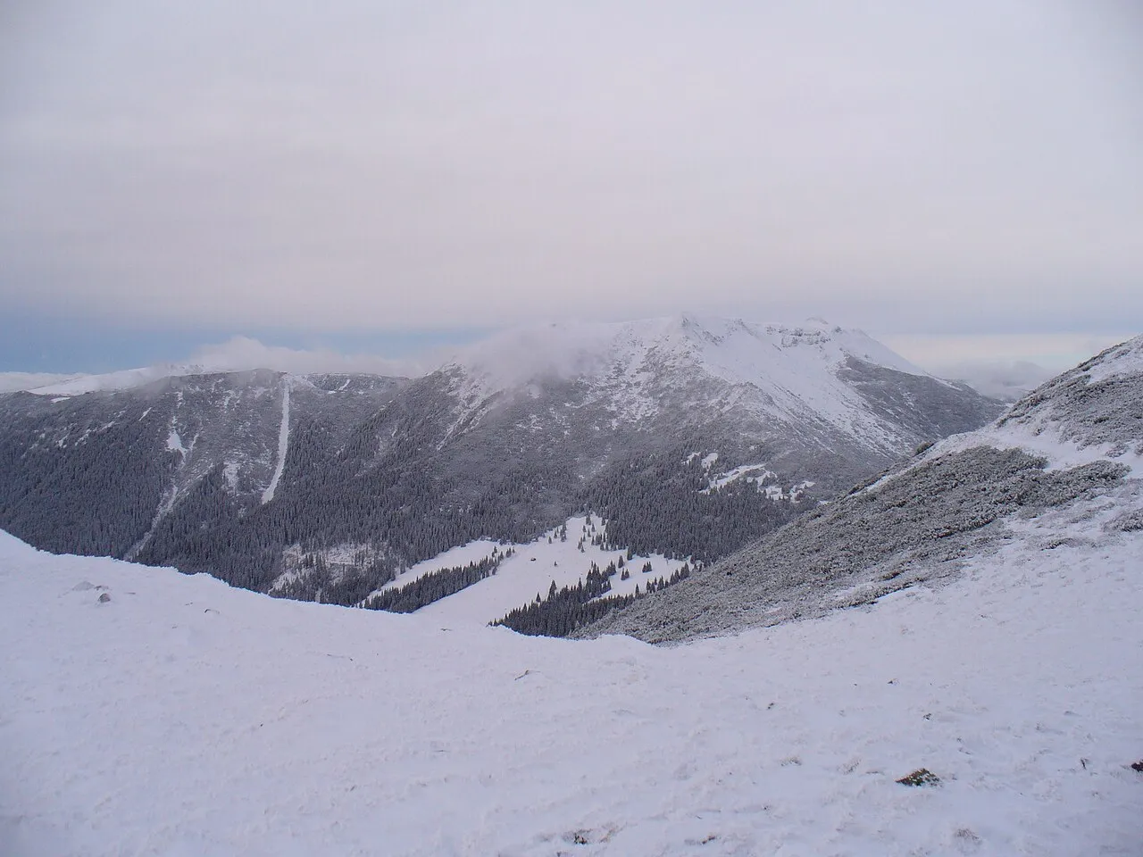
- Elevation
- 2,100 m
- above sea level
- Local time
- UTC+02:00
- Europe/Bucharest · UTC+02:00
About Pietrosul Călimanilor
Pietrosul Călimanilor is a mountain. Location: Comuna Lunca Bradului, Mureș County. Elevation: 2,100 m.
Pietrosu Peak (Hungarian: Pietrosz or Nagy-Köves) is a peak of crystalline rocks in the Călimani Mountains in the Carpathian Mountains, Romania which reaches a height of 2,102 metres (6,896 ft). Mapping of the moraines and glacial landforms below the peak indicate at least two stages of glaciation during the Late Quaternary, subsequent to the initial one.
Read more on Wikipedia Text: Wikipedia contributors · CC BY-SA 4.0 · shortened
In comparison
- No. 161 of 936 mountains in Romania by elevation
- 4 sights and natural places within 10 km Negoiul Unguresc, Rețițiș
Climate of Pietrosul Călimanilor
| Month | Jan | Feb | Mar | Apr | May | Jun | Jul | Aug | Sep | Oct | Nov | Dec |
|---|---|---|---|---|---|---|---|---|---|---|---|---|
| Average high (°C) | -8° | -7° | -4° | 1° | 7° | 11° | 13° | 12° | 8° | 4° | -3° | -7° |
| Average low (°C) | -15° | -15° | -12° | -7° | -2° | 2° | 3° | 3° | -1° | -5° | -10° | -13° |
| Precipitation (mm) | 33 | 34 | 39 | 61 | 85 | 123 | 113 | 93 | 56 | 44 | 37 | 38 |
Monthly averages for 1970–2000 at about 18 km resolution, adjusted for elevation. Highlighted months are mild and relatively dry. Source: WorldClim 2.1 (CC BY 4.0).
Airports nearest to Pietrosul Călimanilor
- Târgu Mureş Transilvania International Airport (TGM) Recea 94 km
- Suceava Ștefan cel Mare International Airport (SCV) Suceava 108 km
- Avram Iancu Cluj International Airport (CLJ) Cluj-Napoca 120 km
Straight-line distance; airports with scheduled flights only. Source: OurAirports (public domain).
Nearest towns and villages
-
Gura Haitii Village, Comuna Şaru Dornei10 km NE
-
Dornișoara Village, Comuna Poiana Stampei13 km NW
-
Stânceni City, Comuna Stânceni16 km S
-
Lunca Bradului City, Comuna Lunca Bradului20 km S
-
Neagra Șarului Village, Comuna Şaru Dornei17 km NE
-
Şaru Dornei City, Comuna Şaru Dornei22 km NE
Nearby attractions & nature
Everything nearby-
Negoiul Unguresc Mountain, Mureș County0.8 km SE
-
Rețițiș Mountain, Suceava5.5 km SE
-
Căliman Izvor Mountain, Comuna Şaru Dornei7.8 km E
-
Călimanul Cerbului Mountain, Comuna Şaru Dornei8.3 km NE
Sources & licences
Data last updated: · 2 independent sources