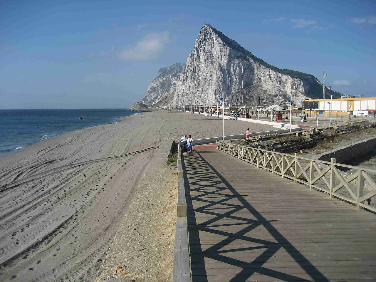
Playa de Santa Bárbara
Located in Cadiz, Andalusia Coordinates: 36°10′03″ N 5°20′13″ W
- Elevation
- 1 m
- above sea level
- Local time
- UTC+01:00
- Europe/Madrid · UTC+01:00
About Playa de Santa Bárbara
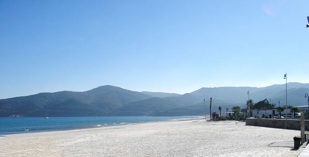
Playa de Santa Bárbara is a beach. Location: Cadiz, Andalusia.
Playa de Santa Bárbara is a beach in the municipality of La Línea de la Concepción, in the Province of Cádiz, Andalusia, Spain, located to the north of Gibraltar. It has a length of about 700 metres (2,300 ft) and average width of about 40 metres (130 ft). It is a busy beach promenade bounded by the city limits and south to the border with Gibraltar with Gibraltar Airport runway to the east and on the north by the Playa de Levante.
Read more on Wikipedia Text: Wikipedia contributors · CC BY-SA 4.0 · shortened
In comparison
- 32 sights and natural places within 10 km Ruins of Fort St. Barbara, Museo Taurino
Nearest towns and villages
-
Línea de la Concepción, La Municipality, Cadiz1.9 km NW
-
La Línea de la Concepción Town, Línea de la Concepción, La1 km W
-
La Atunara Village, Línea de la Concepción, La0.2 km NW
-
San Roque Town, San Roque6.3 km NW
-
San Roque Municipality, Cadiz9.5 km N
-
Algeciras Municipality, Cadiz12 km SW
Nearby attractions & nature
Everything nearby-
Playa de Poniente Beach, Línea de la Concepción, La1.1 km S
-
Playa La Atunara Beach, Cadiz2 km N
-
Playa de La Hacienda Beach, Cadiz2 km W
-
Playa de Levante Beach, Cadiz2.5 km N
-
Ruins of Fort St. Barbara Historic site, Línea de la Concepción, La0.8 km S
-
Museo Taurino Museum, Línea de la Concepción, La0.9 km W
-
Museo Cruz Herrera Museum, Línea de la Concepción, La1.5 km SW
-
Plaza de toros Attraction, Línea de la Concepción, La0.9 km W
More lakes, rivers and coasts in Spain
-
Playa de Torrenueva Beach, Línea de la Concepción, La4.4 km N
-
 Playa Guadarranque Beach, Barrios, Los8.3 km W
-
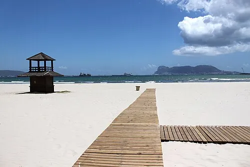 Playa Rinconcillo Beach, Cadiz9.8 km W
-
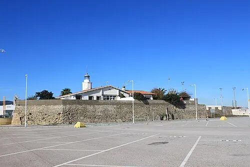 Isla Verde Island, Barrios, Los10 km SW
-
 Playa de Getares Beach, Algeciras13 km SW
-
La Alcaidesa Beach, Cadiz7.7 km N
Sources & licences
Data last updated: · 2 independent sources