Macharaviaya
Located in Malaga, Andalusia Coordinates: 36°46′07″ N 4°13′18″ W
- Population
- 504
- 504
- Elevation
- 302 m
- above sea level
- Local time
- UTC+01:00
- Europe/Madrid · UTC+01:00
- Places inside
- 1
- listed under Macharaviaya
About Macharaviaya
Macharaviaya is a municipality. Location: Malaga, Andalusia. Population: 504. Elevation: 302 m.
Macharaviaya is a municipality in the province of Málaga in the mountains of the autonomous community of Andalusia in the south of Spain. It is located in the comarca of La Axarquía. The village was built upon the ruins of an old Moorish settlement. Its name is derived from Arabic: مَشْجَر أَبِي يَحْيى, romanized: mašjar abī yaḥyā, meaning "Abu/Abi Yahya's Farm/Grove". It was the home of the noble Gálvez family, whose descendant Matías de Gálvez y Gallardo had been the viceroy of New Spain.
Read more on Wikipedia Text: Wikipedia contributors · CC BY-SA 4.0 · shortened
At a glance
- Area
- 7 km²
Source: Wikidata
In comparison
- No. 90 of 101 places in Malaga by population
- Nearest larger town: Valdés, 2 km SW
- 11 sights and natural places within 10 km Playa Benajarafe, Santopitar
Places in Macharaviaya
1 place-
Macharavialla Village
Nearby attractions & nature
Everything nearby-
Santopitar Mountain, Málaga6.5 km NW
-
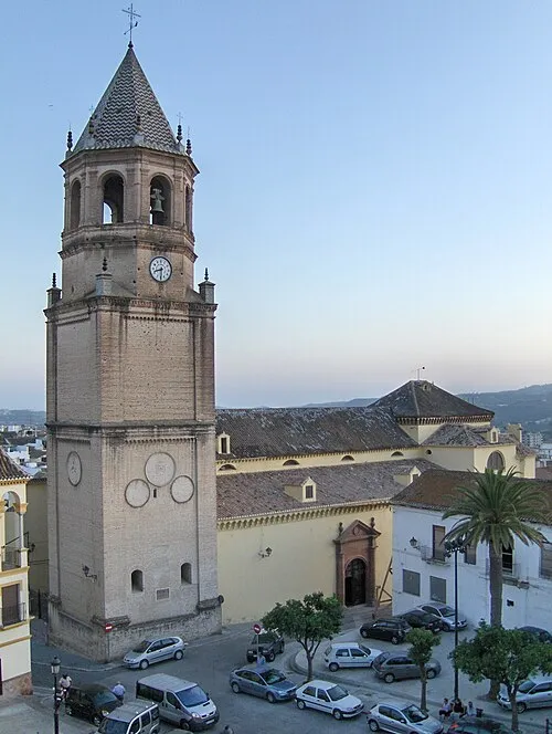 Iglesia de San Juan Bautista Attraction, Vélez-Málaga11 km E
-
Playa Benajarafe Beach, Spain6.3 km S
-
Canteras de Almayate Museo de la Piedra Museum, Vélez-Málaga7.6 km SE
-
Playa de Las Gaviotas Beach, Rincón de la Victoria6.7 km S
-
Río Almachar River, Vélez-Málaga7.3 km NE
-
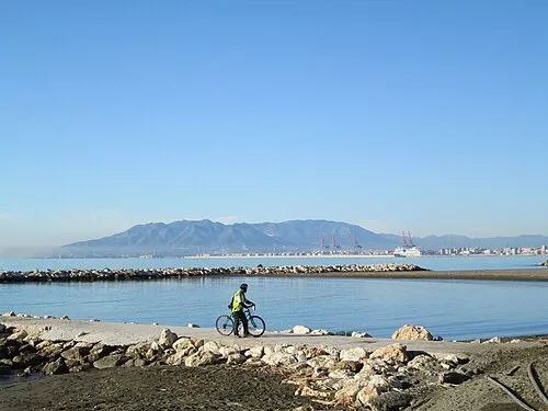 Playa Pedregalejo Beach, Malaga15 km W
-
Playa Virginia Beach, Malaga13 km SW
Sources & licences
Data last updated: · 2 independent sources