Cenarbe
Located in Villanúa, Huesca Coordinates: 42°39′19″ N 0°30′38″ W
- Elevation
- 1,180 m
- above sea level
- Local time
- UTC+01:00
- Europe/Madrid · UTC+01:00
About Cenarbe
Cenarbe is a village. Location: Villanúa, Huesca. Elevation: 1,180 m.
Cenarbe is an abandoned agricultural and livestock village. The locality belongs to the Spanish municipality of Villanúa (Huesca, Aragón). It was located at 1200 meters above sea level. Toponymic with origin in the old Basque Azenari-be, soil of foxes, the suffix -be (soil, lower part) would refer to the situation of the village in a small plain at the foot of Mount Vacún 2,114 meters high.
Read more on Wikipedia Text: Wikipedia contributors · CC BY-SA 4.0 · shortened
At a glance
- Heritage designation
- part of UNESCO World Heritage Site
Source: Wikidata
In comparison
- Nearest larger town: Villanúa, 4 km NW
- 31 sights and natural places within 10 km Carrascal de Villanúa, Punta de la Espata
Nearby attractions & nature
Everything nearby-
Carrascal de Villanúa Natural site, Villanúa4.3 km NW
-
Punta de la Espata Mountain, Jaca4.5 km NE
-
Pico de la Lera Mountain, Sabiñánigo4.8 km E
-
Pico de la Lera Mountain, Sabiñánigo4.8 km E
-
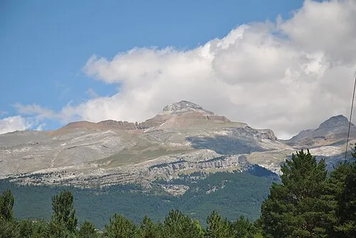 Peak of Collarada Mountain, Canfranc7.3 km NE
-
Punta de la Ralla Mountain, Sabiñánigo5.4 km NE
Sources & licences
Data last updated: · 2 independent sources