Sos del Rey Católico Municipality
Located in Saragossa, Aragon Coordinates: 42°28′41″ N 1°12′08″ W
- Population
- 585
- 585
- Elevation
- 728 m
- above sea level
- Local time
- UTC+01:00
- Europe/Madrid · UTC+01:00
- Places inside
- 8
- listed under Sos del Rey Católico Municipality
About Sos del Rey Católico Municipality
Sos del Rey Católico Municipality is a municipality. Location: Saragossa, Aragon. Population: 585. Elevation: 728 m.
In comparison
- No. 82 of 293 places in Saragossa by population
- Nearest larger town: Sos del Rey Católico, 2 km NW
- 3 sights and natural places within 10 km Monte Peña, Roita
- Listed here: Village: 6, Mountain: 2
Airports nearest to Sos del Rey Católico Municipality
- Pamplona Airport (PNA) Pamplona 49 km
- Zaragoza Airport (ZAZ) Zaragoza 91 km
- Logroño-Agoncillo Airport (RJL) Logroño 92 km
Straight-line distance; airports with scheduled flights only. Source: OurAirports (public domain).
Places in Sos del Rey Católico Municipality
8 places-
Sos del Rey Católico Village737
-
Sofuentes Village73
-
Barués Village
-
Castillo Barués Village
-
Mamillas Village
-
Monte Peña Mountain
-
Roita Mountain
-
Vico Village
Nearby attractions & nature
Everything nearby-
El Contadero Mountain, Uncastillo7.4 km SE
-
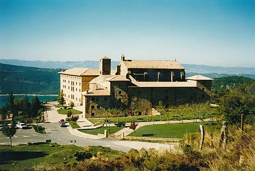 Monastery of Leyre Attraction, Yesa18 km N
-
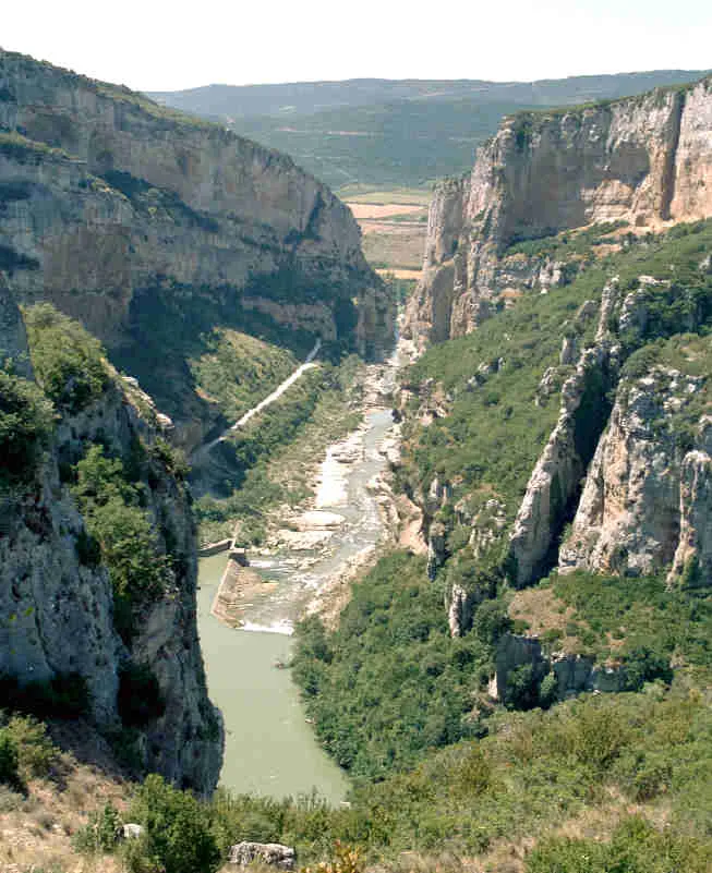 Foz de Lumbier Natural site, Aibar/Oibar19 km NW
-
Monte San Pedro Mountain, Cáseda16 km W
-
Convento San Francisco De Asís Attraction, Sangüesa13 km NW
-
Iglesia de San Salvador Attraction, Sangüesa13 km NW
-
Museo Casa Jenaro Museum, Sangüesa13 km NW
-
Palacio Ongay-Vallesantoro Museum, Sangüesa13 km NW
Sources & licences
Data last updated: