Mamillas
Located in Sos del Rey Católico Municipality, Saragossa Coordinates: 42°26′38″ N 1°16′16″ W
- Elevation
- 615 m
- above sea level
- Local time
- UTC+01:00
- Europe/Madrid · UTC+01:00
- Airports
- PNA Pamplona Airport48 km
- RJL Logroño-Agoncillo Airport86 km
About Mamillas
Mamillas is a village. Location: Sos del Rey Católico Municipality, Saragossa. Elevation: 615 m. The best months to visit are June, September. The nearest airport is Pamplona Airport (48 km). Nearby sights include Monte Peña and Monte San Pedro.
Climate of Mamillas
Best months for sightseeingBest months for sightseeing: June, September.
This month · November
Outside the best season
Day 13° · Night 5° · Rain 61 mm
- Hottest month
- August (day 28°)
- Coldest month
- January (night 1°)
- Wettest month
- May (67 mm)
- Driest month
- July (31 mm)
Bars: average monthly low and high temperature. Below: precipitation. Monthly averages for 1970–2000 at about 18 km resolution, adjusted for elevation. Highlighted months are mild and relatively dry. Source: WorldClim 2.1 (CC BY 4.0).
Show values as a table
| Month | Jan | Feb | Mar | Apr | May | Jun | Jul | Aug | Sep | Oct | Nov | Dec |
|---|---|---|---|---|---|---|---|---|---|---|---|---|
| Average high (°C) | 8° | 11° | 13° | 15° | 19° | 23° | 28° | 28° | 25° | 18° | 13° | 10° |
| Average low (°C) | 1° | 2° | 3° | 5° | 8° | 12° | 14° | 15° | 12° | 9° | 5° | 2° |
| Precipitation (mm) | 56 | 49 | 42 | 64 | 67 | 50 | 31 | 37 | 39 | 62 | 61 | 58 |
How to get to Mamillas
The nearest airport is Pamplona Airport (PNA), 48 km to the northwest as the crow flies. For international flights: Zaragoza Airport (ZAZ) (88 km). The nearest large city is Pamplona, 51 km to the northwest.
Airports
- Pamplona Airport (PNA) Pamplona 48 kmnorthwest
- Logroño-Agoncillo Airport (RJL) Logroño 86 kmwest
- Zaragoza Airport (ZAZ) Zaragoza 88 kmsouth
Nearby large cities
- Pamplona Population: 208.2K 51 kmnorthwest
- Zaragoza Population: 687K 93 kmsouth
- Logroño Population: 151.2K 97 kmwest
- Donostia / San Sebastian Population: 185.4K 112 kmnorthwest
- Vitoria-Gasteiz Population: 257.4K 123 kmwest
Straight-line distances; road distances are longer. Airport data: OurAirports.
Day trips from Mamillas
Within 100 km: 206 historic and cultural sites, 764 natural sites, 157 lakes, rivers and coasts.
0–25 km37 places
- Pantano de Yesa Lake 20 kmNE
- Roita Mountain 14 kmE
- Pinar de Cáseda Mountain 9 kmW
- Monte Peña Mountain 6 kmN
25–60 km210 places
- Yamaguchi Natural site 52 kmNW
- Laguna de Pitallas Lake 26 kmW
- Pantano de la Peña Lake 46 kmE
- Pantano de la Nava Lake 55 kmE
60–100 km880 places
- Valle de Baztan Natural site 82 kmN
- Iglesia San Juan Bautista Attraction 82 kmN
- Fourmat Mountain 98 kmNE
- Ibón de Tramacastilla Lake 81 kmNE
Straight-line distances.
Nearby attractions & nature
Everything nearby-
Monte Peña Mountain, Sos del Rey Católico Municipality6.2 km N
-
Monte San Pedro Mountain, Cáseda12 km NW
-
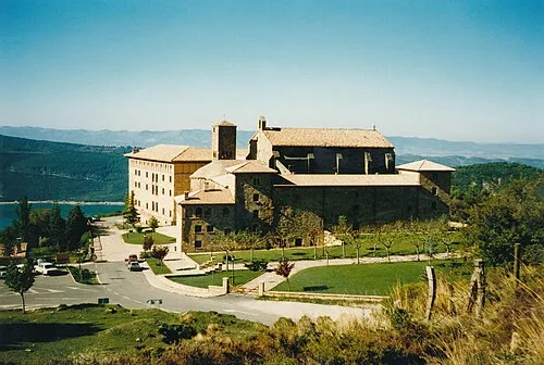 Monastery of Leyre Attraction, Yesa23 km N
-
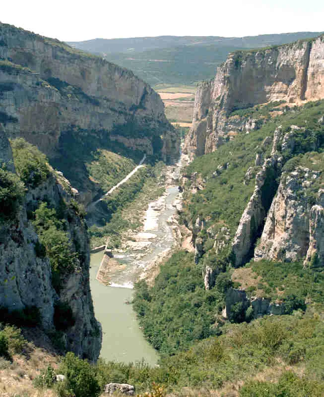 Foz de Lumbier Natural site, Aibar/Oibar21 km N
-
Pinar de Cáseda Mountain, Cáseda9.3 km W
-
Roita Mountain, Sos del Rey Católico Municipality14 km E
Sources & licences
Data last updated: · 2 independent sources