Haría
Located in Las Palmas, Canary Islands Coordinates: 29°09′54″ N 13°27′45″ W
- Population
- 5,190
- 5.2K
- Elevation
- 150 m
- above sea level
- Local time
- UTC+00:00
- Atlantic/Canary · UTC+00:00
- Places inside
- 23
- listed under Haría
About Haría
Haría is a municipality. Location: Las Palmas, Canary Islands. Population: 5,190. Elevation: 150 m.
In comparison
- No. 30 of 34 places in Las Palmas by population
- Nearest larger town: Teguise, 11 km SW
- 21 sights and natural places within 10 km Museo Centro de Interpretación Punta Mujeres, Cabo Mujeres
- Listed here: Village: 10, Natural site: 5, Mountain: 3, Attraction: 2
Places in Haría
23 places-
Haría Village4.8K
-
Punta Mujeres Village1.1K
-
Mala Village533
-
Órzola Village352
-
Arrieta Village300
-
Tabayesco Village90
-
Charco del Palo (Lanzarote) Village156
-
Barranco del Chafarís Natural site
-
Cabo Mujeres Natural site
-
Caleton Blanco Natural site
-
Guinate Village
-
Guinate Tropical Park Attraction
-
Las Pardelas Attraction
-
Máguez Village
-
Monte Corona Mountain
-
Museo Cesar Manrique Museum
-
Parque El Bosquecillo Natural site
-
Peñas del Chache Mountain
-
Playa Del Risco Beach
-
Risco Falso Mountain
-
Valle de Malpaso Natural site
-
Ye Village
Nearby attractions & nature
Everything nearby-
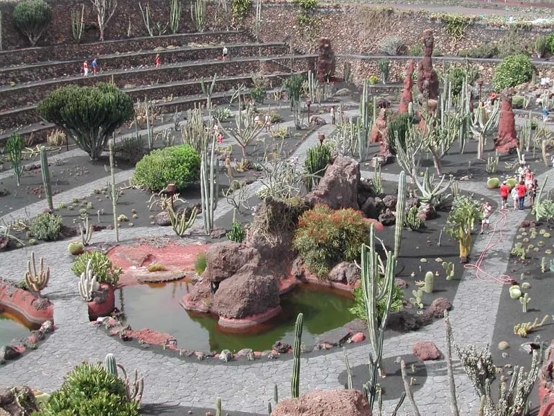 Jardín de Cactus Attraction, Teguise9.5 km S
-
Playa Montaña Amarilla Beach, Las Palmas9.5 km NW
-
Museo Chinijo Museum, Teguise8.3 km NW
-
Playa del Puerto Beach, Teguise8.3 km NW
-
Tenegüime Natural site, Teguise9.2 km SW
-
Playa De Famara Beach, Las Palmas11 km SW
-
Playa del Salado Beach, Teguise8.5 km NW
-
Montaña Amarilla Mountain, Teguise9.9 km NW
Other cities and towns in Las Palmas
-
San Bartolomé Municipality, Las Palmas25 km SW
-
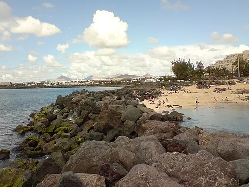 Costa Teguise Town, Teguise19 km S
-
Tinajo Municipality, Las Palmas26 km W
-
Tías Municipality, Las Palmas32 km SW
-
Yaiza Municipality, Las Palmas37 km SW
-
Tinajo Town, Tinajo24 km SW
Sources & licences
Data last updated: