- Elevation
- 865 m
- above sea level
- Local time
- UTC+01:00
- Europe/Madrid · UTC+01:00
- Airports
- VLL Valladolid Airport103 km
- VIT Vitoria Airport116 km
About Basconcillos
Basconcillos is a village. Location: Villangómez, Province of Burgos. Elevation: 865 m. The best months to visit are June, September. The nearest airport is Valladolid Airport (103 km). Nearby sights include Museum of Human Evolution and Estatua del Cid.
Climate of Basconcillos
Best months for sightseeingBest months for sightseeing: June, September.
This month · November
A cold month
Day 12° · Night 3° · Rain 49 mm
- Hottest month
- July (day 29°)
- Coldest month
- January (night -1°)
- Wettest month
- May (55 mm)
- Driest month
- August (20 mm)
Bars: average monthly low and high temperature. Below: precipitation. Monthly averages for 1970–2000 at about 18 km resolution, adjusted for elevation. Highlighted months are mild and relatively dry. Source: WorldClim 2.1 (CC BY 4.0).
Show values as a table
| Month | Jan | Feb | Mar | Apr | May | Jun | Jul | Aug | Sep | Oct | Nov | Dec |
|---|---|---|---|---|---|---|---|---|---|---|---|---|
| Average high (°C) | 7° | 10° | 13° | 15° | 19° | 24° | 29° | 28° | 24° | 18° | 12° | 8° |
| Average low (°C) | -1° | 0° | 2° | 3° | 7° | 10° | 13° | 13° | 10° | 6° | 3° | 1° |
| Precipitation (mm) | 45 | 37 | 27 | 48 | 55 | 41 | 23 | 20 | 32 | 44 | 49 | 50 |
How to get to Basconcillos
The nearest airport is Valladolid Airport (VLL), 103 km to the southwest as the crow flies. The nearest large city is Burgos, 18 km to the northeast.
Airports
- Valladolid Airport (VLL) Valladolid 103 kmsouthwest
- Vitoria Airport (VIT) Alava 116 kmnortheast
- Logroño-Agoncillo Airport (RJL) Logroño 125 kmeast
Nearby large cities
- Burgos Population: 176.4K 18 kmnortheast
- Valladolid Population: 300.6K 98 kmsouthwest
- Logroño Population: 151.2K 115 kmeast
- Vitoria-Gasteiz Population: 257.4K 117 kmnortheast
- Bilbao Population: 347.3K 138 kmnortheast
Straight-line distances; road distances are longer. Airport data: OurAirports.
Day trips from Basconcillos
Within 100 km: 143 historic and cultural sites, 74 natural sites, 347 lakes, rivers and coasts.
0–25 km60 places
- Playa fluvial Fuente del Prior Beach 19 kmNE
- Lagunas de Carcedo Lake 18 kmNE
- Parque Lineal del Vena Natural site 21 kmNE
- Félix Rodríguez de la Fuente Park Natural site 20 kmNE
25–60 km137 places
- Pantano del Arlanzón Lake 38 kmE
- Pico de San Millán Mountain 49 kmE
- Manantial de Torreros Natural site 50 kmNE
- Manantial de Ontinente Natural site 49 kmN
60–100 km367 places
- Playa de Arija Beach 90 kmN
- Pantano de Ruesga Lake 96 kmNW
- Pantano Requejada Lake 99 kmNW
- Pantano de González de Lacasa Lake 92 kmE
Straight-line distances.
Nearby attractions & nature
Everything nearby-
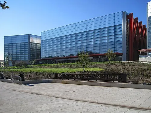 Museum of Human Evolution Museum, Burgos18 km NE
-
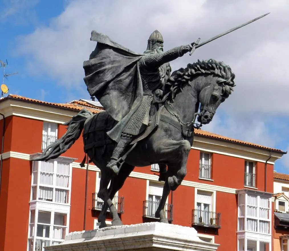 Estatua del Cid Landmark, Burgos18 km NE
-
Iglesia de Santo Tomás Attraction, Madrigalejo del Monte9.8 km SE
-
Monasterio Cisterciense de Santa María la Real Attraction, Villamayor de los Montes10 km S
-
Río Carabidas River, Villamayor de los Montes9.6 km S
-
Río del Ángel River, Villamayor de los Montes9.6 km S
Sources & licences
Data last updated: