- Elevation
- 1,690 m
- above sea level
- Local time
- UTC+01:00
- Europe/Madrid · UTC+01:00
- Airports
- RMU Region of Murcia International Airport132 km
- ALC Alicante-Elche Miguel Hernández Airport161 km
About Calar del Mundo
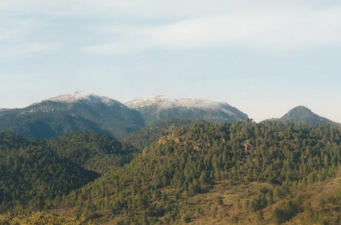
Calar del Mundo is a mountain. Location: Yeste, Albacete. Elevation: 1,690 m. The best months to visit are June, September. The nearest airport is Region of Murcia International Airport (132 km). Nearby sights include Coimbra Del Barranco Ancho and Río de la Vega.
Climate of Calar del Mundo
Best months for sightseeingBest months for sightseeing: June, September.
This month · November
A cold month
Day 9° · Night -2° · Rain 56 mm
Better nearby cities in November
- Murcia · 121 km southeast20°
- Orihuela · 133 km east20°
- Elche · 149 km east20°
- Hottest month
- July (day 29°)
- Coldest month
- January (night -5°)
- Wettest month
- December (59 mm)
- Driest month
- August (9 mm)
Bars: average monthly low and high temperature. Below: precipitation. Monthly averages for 1970–2000 at about 18 km resolution, adjusted for elevation. Highlighted months are mild and relatively dry. Source: WorldClim 2.1 (CC BY 4.0).
Show values as a table
| Month | Jan | Feb | Mar | Apr | May | Jun | Jul | Aug | Sep | Oct | Nov | Dec |
|---|---|---|---|---|---|---|---|---|---|---|---|---|
| Average high (°C) | 4° | 6° | 10° | 12° | 17° | 23° | 29° | 28° | 23° | 15° | 9° | 5° |
| Average low (°C) | -5° | -5° | -3° | -1° | 3° | 8° | 11° | 11° | 7° | 2° | -2° | -4° |
| Precipitation (mm) | 50 | 47 | 42 | 56 | 52 | 31 | 11 | 9 | 26 | 54 | 56 | 59 |
How to get to Calar del Mundo
The nearest airport is Region of Murcia International Airport (RMU), 132 km to the southeast as the crow flies. The nearest large city is Albacete, 77 km to the northeast.
Airports
- Region of Murcia International Airport (RMU) Corvera 132 kmsoutheast
- Alicante-Elche Miguel Hernández Airport (ALC) Alicante 161 kmeast
- Almería Airport (LEI) Almería 178 kmsouth
Nearby large cities
- Albacete Population: 173K 77 kmnortheast
- Murcia Population: 472K 122 kmsoutheast
- Orihuela Population: 101.3K 133 kmeast
- Jaén Population: 113.5K 144 kmsouthwest
- Elche Population: 234.8K 149 kmeast
Straight-line distances; road distances are longer. Airport data: OurAirports.
Day trips from Calar del Mundo
Within 100 km: 165 historic and cultural sites, 167 natural sites, 172 lakes, rivers and coasts.
0–25 km40 places
- Pantano de la Fuensanta Lake 17 kmE
- Cerro Vico Mountain 24 kmW
- Sierra de Juan Quilez Mountain 17 kmSE
- Cumbres del Halcón Mountain 19 kmNE
25–60 km125 places
- Pantano de Talave Lake 46 kmE
- Laguna Ojos de Villaverde Lake 40 kmN
- Embalse de El Tranco de Beas Lake 48 kmSW
- Embalse de El Cenajo Lake 46 kmE
60–100 km339 places
- Pantano de Valdeinfierno Lake 80 kmSE
- Laguna Tinajas Lake 67 kmNW
- Laguna San Pedro Lake 67 kmNW
- Laguna del Rey Lake 72 kmNW
Straight-line distances.
Nearest towns and villages
-
Riópar Municipality, Albacete4.9 km NW
-
Raspilla Village, Yeste2.6 km SE
-
Quebradas Village, Yeste3.8 km E
-
Riópar Village, Riópar8.1 km NW
-
Majada Carrasca Village, Yeste5.5 km SE
-
La Casa de la Noguera Village, Riópar4.8 km NW
Nearby attractions & nature
Everything nearby-
Coimbra Del Barranco Ancho Historic site, Yeste2.9 km E
-
Río de la Vega River, Riópar5 km N
-
Padroncillo Mountain, Villaverde de Guadalimar7.4 km NW
-
 La Sarga Mountain, Villaverde de Guadalimar13 km NW
-
Sierra del Agua Mountain, Alcaraz9.7 km N
-
Sierra de Ardal Mountain, Yeste9.8 km S
-
Almenaras Mountain, Bogarra12 km NW
-
Arroyo de Los Collados River, Yeste9.5 km E
Sources & licences
Data last updated: