la Febró Municipality
Located in Tarragona, Catalonia Coordinates: 41°16′29″ N 0°59′53″ E
- Population
- 49
- 49
- Elevation
- 768 m
- above sea level
- Local time
- UTC+01:00
- Europe/Madrid · UTC+01:00
- Places inside
- 1
- listed under la Febró Municipality
About la Febró Municipality
la Febró Municipality is a municipality. Location: Tarragona, Catalonia. Population: 49. Elevation: 768 m.
In comparison
- No. 183 of 184 places in Tarragona by population
- Nearest larger town: Capafonts Municipality, 3 km NE
- 24 sights and natural places within 10 km Punta del Sec, Serra d'en Garcià
Airports nearest to la Febró Municipality
- Reus Airport (REU) Reus 20 km
- Lleida-Alguaire Airport (ILD) Lleida 63 km
- Josep Tarradellas Barcelona-El Prat Airport (BCN) Barcelona 91 km
Straight-line distance; airports with scheduled flights only. Source: OurAirports (public domain).
Places in la Febró Municipality
1 place-
la Febró Village
Nearby attractions & nature
Everything nearby-
Punta del Sec Mountain, Vilaplana3.2 km S
-
Serra d'en Garcià Mountain, Vilaplana3.6 km SE
-
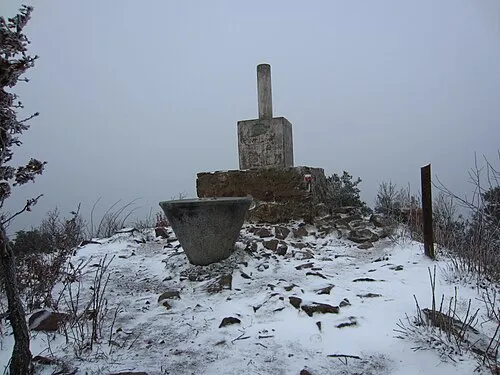 Tossal de la Baltasana Mountain, Vimbodí i Poblet5.7 km N
-
Prades Mountains Mountain, Prades3.9 km NW
-
Roca de les Dones Mountain, Prades4 km N
-
la Gritella Mountain, Prades4.2 km NW
-
Pena-Roja Mountain, Capafonts Municipality4.4 km NE
-
les Solanetes Mountain, Cornudella de Montsant Municipality4.7 km W
Sources & licences
Data last updated: