Ribela
Located in Estrada, A, Pontevedra Coordinates: 42°38′27″ N 8°24′26″ W
- Elevation
- 463 m
- above sea level
- Local time
- UTC+01:00
- Europe/Madrid · UTC+01:00
About Ribela
Ribela is a village. Location: Estrada, A, Pontevedra. Elevation: 463 m.
In comparison
- Nearest larger town: Codeseda, 3 km SW
- 3 sights and natural places within 10 km Dispara Xestión Cultural, Iglesia de Santa María de Aguiones
Airports nearest to Ribela
- Santiago-Rosalía de Castro Airport (SCQ) Santiago de Compostela 28 km
- Vigo Airport (VGO) Vigo 49 km
- A Coruña Airport (LCG) Culleredo 74 km
Straight-line distance; airports with scheduled flights only. Source: OurAirports (public domain).
Nearby attractions & nature
Everything nearby-
Dispara Xestión Cultural Museum, Estrada, A8.4 km NW
-
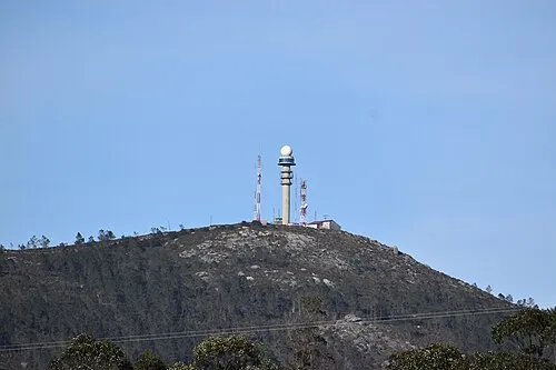 Monte Gesteiras Mountain, Estrada, A15 km W
-
Iglesia de Santa María de Aguiones Attraction, Estrada, A8.7 km NW
-
Igrexa de San Paio Attraction, Estrada, A8.8 km NW
-
Igrexa de San Xoán de Santeles Attraction, Estrada, A13 km NW
-
Monte Acibal Mountain, Moraña21 km SW
Sources & licences
Data last updated: