Santa Pola
Located in Alicante, Valencia Coordinates: 38°12′12″ N 0°34′39″ W
- Population
- 33,965
- 34K
- Elevation
- 6 m
- above sea level
- Local time
- UTC+01:00
- Europe/Madrid · UTC+01:00
- Places inside
- 13
- listed under Santa Pola
About Santa Pola
Santa Pola is a municipality. Location: Alicante, Valencia. Population: 33,965. Elevation: 6 m.
Santa Pola is a coastal town and municipality located in the comarca of Baix Vinalopó in the Valencian Community, Spain, by the Mediterranean Sea. It has an area of 58.6 km2 (23 sq mi) and has a population of 36,174 inhabitants of whom 6,000 are residents of the nearby town of Gran Alacant. The town has an important salt evaporation pond known as the salines which remains in business, additionally, most of it is recognized as the Natural Park of Salines de Santa Pola, an important Ramsar site.
Read more on Wikipedia Text: Wikipedia contributors · CC BY-SA 4.0 · shortened
At a glance
- Area
- 58.6 km²
Source: Wikidata
In comparison
- No. 12 of 141 places in Alicante by population
- Nearest larger town: Elche, 13 km NW
- 21 sights and natural places within 10 km Playa Santa Pola, Estadio Manolo Macia
- Listed here: Attraction: 2, Historic site: 2, Island: 2, Landmark: 2
Places in Santa Pola
13 places-
Santa Pola Town31.8K
-
Acuario Municipal de Santa Pola Attraction
-
Castillo de Santa Pola Historic site
-
Estadio Manolo Macia Landmark
-
Faro de Santa Pola Landmark
-
Gran Alacant Neighbourhood
-
Illa de Tabarca Island
-
la Galera Island
-
Parc el Palmeral Natural site
-
Parroquia de la Asunción de Nuestra Señora Attraction
-
Playa Santa Pola Beach
-
Villa Romana Del Palmeral Historic site
Nearby attractions & nature
Everything nearby-
Calas de Santiago Bernabeu Beach, Alicante2.6 km SE
-
Cabo de Santa Pola Natural site, Elche5.9 km E
-
Clot de Galvany Natural site, Elche6.4 km NE
-
Bahía de Santa Pola Natural site, Elche6 km S
-
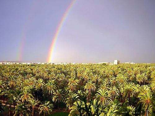 Palmeral of Elche Attraction, Elche13 km NW
-
Playa del Carabasí Beach, Elche6.7 km NE
-
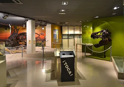 Museo Paleontológico de Elche Museum, Elche12 km NW
-
Torre del Pinet Landmark, Elche7.9 km SW
Sources & licences
Data last updated: · 2 independent sources