Canet lo Roig
Located in Castellon, Valencia Coordinates: 40°33′42″ N 0°14′01″ E
- Population
- 836
- 836
- Elevation
- 347 m
- above sea level
- Local time
- UTC+01:00
- Europe/Madrid · UTC+01:00
- Places inside
- 1
- listed under Canet lo Roig
About Canet lo Roig
Canet lo Roig is a municipality. Location: Castellon, Valencia. Population: 836. Elevation: 347 m.
Canet lo Roig (Valencian pronunciation: [kaˈned lo ˈrɔtʃ]) is a municipality in the comarca of Baix Maestrat in the Valencian Community, Spain. The Serra de Sant Pere rises southeast of the town and the Cérvol River flows north of it. The Moles de Xert rise west of Canet, on the right side of the road between this town and Xert. It is an agricultural town surrounded by cultivated plots, mainly almond, carob and olive trees, as well as some cereal fields. The population of the town is under 900.
Read more on Wikipedia Text: Wikipedia contributors · CC BY-SA 4.0 · shortened
At a glance
- Area
- 687 km²
Source: Wikidata
In comparison
- No. 59 of 135 places in Castellon by population
- Nearest larger town: Canet lo Roig, 1 km SE
- 2 sights and natural places within 10 km Mola de Xert, Muela Peña Blanca
Places in Canet lo Roig
1 place-
Canet lo Roig Village903
Nearby attractions & nature
Everything nearby-
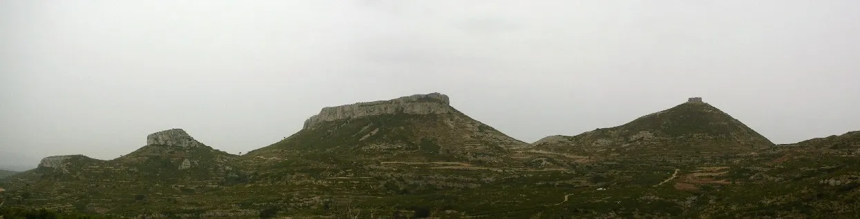 Mola de Xert Mountain, Chert/Xert6.2 km SW
-
Muela Peña Blanca Mountain, Chert/Xert9.9 km W
-
El Porquet Mountain, la Sénia23 km N
-
Pantà d'Ulldecona Lake, Pobla de Benifassà, la13 km N
-
Tossal de la Nevera Mountain, Morella25 km SW
-
Pequeplaya Beach, Castellon23 km E
-
Playa El Pinar Beach, Castellon24 km E
-
Tossal Gros Mountain, Ulldecona18 km E
Sources & licences
Data last updated: · 2 independent sources