Annerstad
Located in Ljungby Municipality, Kronoberg County Coordinates: 56°46′04″ N 13°41′01″ E
- Population
- 551
- 551
- Elevation
- 147 m
- above sea level
- Local time
- UTC+01:00
- Europe/Stockholm · UTC+01:00
- Places inside
- 1
- listed under Annerstad
About Annerstad
Annerstad is a municipality. Location: Ljungby Municipality, Kronoberg County. Population: 551. Elevation: 147 m.
In comparison
- No. 14 of 32 places in Ljungby Municipality by population
- Nearest larger town: Angelstad, 11 km NE
Airports nearest to Annerstad
- Halmstad Airport (HAD) Halmstad 54 km
- Växjö Kronoberg Airport (VXO) Växjö 66 km
- Ängelholm-Helsingborg Airport (AGH) Ängelholm 74 km
Straight-line distance; airports with scheduled flights only. Source: OurAirports (public domain).
Places in Annerstad
1 place-
Annerstad socken Village
Nearby attractions & nature
Everything nearbyOther cities and towns in Ljungby Municipality
-
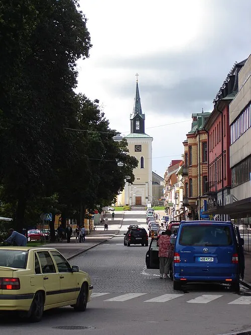 Ljungby City, Ljungby Municipality17 km NE
-
Ljungby Municipality, Ljungby Municipality17 km NE
-
Södra Ljunga Municipality, Ljungby Municipality18 km E
-
Ljungby Maria Municipality, Ljungby Municipality18 km E
-
Vrå Municipality, Ljungby Municipality15 km W
-
Lidhult Municipality, Ljungby Municipality18 km W
Sources & licences
Data last updated: