Muorkevárre
Located in Arjeplog Municipality, Norrbotten County Coordinates: 66°23′29″ N 18°41′34″ E
- Elevation
- 560 m
- above sea level
- Local time
- UTC+01:00
- Europe/Stockholm · UTC+01:00
- Airports
- AJR Arvidsjaur Airport93 km
- GEV Gällivare Airport125 km
About Muorkevárre
Muorkevárre is a mountain. Location: Arjeplog Municipality, Norrbotten County. Elevation: 560 m. The best months to visit are June–July. The nearest airport is Arvidsjaur Airport (93 km). Nearby sights include Dálvvadisoajvve and Gáddåjvve.
Climate of Muorkevárre
Best months for sightseeingBest months for sightseeing: June–July.
This month · November
A cold month
Day -5° · Night -12° · Rain 49 mm
- Hottest month
- July (day 18°)
- Coldest month
- January (night -19°)
- Wettest month
- July (97 mm)
- Driest month
- April (29 mm)
Bars: average monthly low and high temperature. Below: precipitation. Monthly averages for 1970–2000 at about 18 km resolution, adjusted for elevation. Highlighted months are mild and relatively dry. Source: WorldClim 2.1 (CC BY 4.0).
Show values as a table
| Month | Jan | Feb | Mar | Apr | May | Jun | Jul | Aug | Sep | Oct | Nov | Dec |
|---|---|---|---|---|---|---|---|---|---|---|---|---|
| Average high (°C) | -9° | -8° | -3° | 3° | 9° | 15° | 18° | 15° | 9° | 2° | -5° | -8° |
| Average low (°C) | -19° | -19° | -14° | -7° | -1° | 5° | 8° | 6° | 1° | -4° | -12° | -17° |
| Precipitation (mm) | 42 | 32 | 34 | 29 | 44 | 69 | 97 | 81 | 58 | 52 | 49 | 41 |
How to get to Muorkevárre
The nearest airport is Arvidsjaur Airport (AJR), 93 km to the south as the crow flies. For international flights: Kiruna Airport (KRN) (175 km). The nearest large city is Umeå, 295 km to the south.
Airports
- Arvidsjaur Airport (AJR) Arvidsjaur 93 kmsouth
- Gällivare Airport (GEV) Gällivare 125 kmnortheast
- Kiruna Airport (KRN) Kiruna 175 kmnortheast
Nearby large cities
- Umeå Population: 130.2K 295 kmsouth
Straight-line distances; road distances are longer. Airport data: OurAirports.
Day trips from Muorkevárre
Within 100 km: 298 natural sites, 17 lakes, rivers and coasts.
0–25 km16 places
- Tjáhppisoajvve Mountain 13 kmE
- Dálvvadisoajvve Mountain 4 kmE
- Gárddevárre Mountain 11 kmW
- Gáddåjvve Mountain 8 kmNW
25–60 km74 places
- Brännholmen Island 47 kmS
- Dábmukoajvve Mountain 58 kmE
- Stuortjåhkkå Mountain 50 kmE
- Stor-Sarkasvare Mountain 51 kmSE
60–100 km225 places
- Tonkaperseet Mountain 92 kmNE
- Piessimvaara Mountain 90 kmNE
- Gähppovárre Mountain 81 kmNE
- Vittjåkk Mountain 92 kmS
Straight-line distances.
Nearest towns and villages
-
Arjeplog Municipality, Arjeplog Municipality52 km SW
-
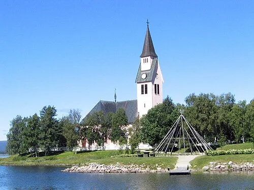 Arjeplog City, Arjeplog Municipality52 km SW
-
Jokkmokk Municipality, Jokkmokk Municipality56 km NE
-
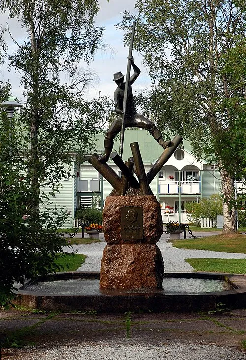 Jokkmokk City, Jokkmokk Municipality56 km NE
-
Jokkmokk socken Village, Jokkmokk57 km N
Nearby attractions & nature
Everything nearby-
Dálvvadisoajvve Mountain, Jokkmokk Municipality4.1 km E
-
Gáddåjvve Mountain, Arjeplog Municipality7.6 km NW
-
Vuolvonåjvve Mountain, Arjeplog Municipality9.8 km NW
-
Gárddevárre Mountain, Arjeplog Municipality11 km W
-
Oarjep Gierggemáttar Mountain, Arjeplog Municipality14 km N
-
Tjáhppisoajvve Mountain, Jokkmokk Municipality13 km E
-
Nuortap Gåbrek Mountain, Arjeplog Municipality15 km W
-
Áhkábuovdda Mountain, Jokkmokk Municipality14 km N
Sources & licences
Data last updated: · 2 independent sources