Ráhkkurvárrie
Located in Arvidsjaur Municipality, Norrbotten County Coordinates: 65°53′24″ N 18°59′14″ E
- Elevation
- 455 m
- above sea level
- Local time
- UTC+01:00
- Europe/Stockholm · UTC+01:00
- Airports
- AJR Arvidsjaur Airport36 km
- LLA Luleå Airport149 km
About Ráhkkurvárrie
Ráhkkurvárrie is a mountain. Location: Arvidsjaur Municipality, Norrbotten County. Elevation: 455 m. The best months to visit are June–July. The nearest airport is Arvidsjaur Airport (36 km). Nearby sights include Suöbdiekvárrie and Sáddiesvárrie.
Climate of Ráhkkurvárrie
Best months for sightseeingBest months for sightseeing: June–July.
This month · November
A cold month
Day -4° · Night -12° · Rain 47 mm
- Hottest month
- July (day 18°)
- Coldest month
- January (night -20°)
- Wettest month
- July (84 mm)
- Driest month
- April (24 mm)
Bars: average monthly low and high temperature. Below: precipitation. Monthly averages for 1970–2000 at about 18 km resolution, adjusted for elevation. Highlighted months are mild and relatively dry. Source: WorldClim 2.1 (CC BY 4.0).
Show values as a table
| Month | Jan | Feb | Mar | Apr | May | Jun | Jul | Aug | Sep | Oct | Nov | Dec |
|---|---|---|---|---|---|---|---|---|---|---|---|---|
| Average high (°C) | -9° | -8° | -2° | 3° | 10° | 16° | 18° | 15° | 9° | 3° | -4° | -8° |
| Average low (°C) | -20° | -18° | -13° | -7° | 0° | 6° | 8° | 6° | 2° | -3° | -12° | -17° |
| Precipitation (mm) | 35 | 26 | 28 | 24 | 40 | 59 | 84 | 74 | 58 | 47 | 47 | 36 |
How to get to Ráhkkurvárrie
The nearest airport is Arvidsjaur Airport (AJR), 36 km to the south as the crow flies. For international flights: Luleå Airport (LLA) (149 km). The nearest large city is Umeå, 238 km to the south.
Airports
- Arvidsjaur Airport (AJR) Arvidsjaur 36 kmsouth
- Luleå Airport (LLA) Luleå 149 kmeast
- Lycksele Airport (LYC) Lycksele 150 kmsouth
Nearby large cities
- Umeå Population: 130.2K 238 kmsouth
Straight-line distances; road distances are longer. Airport data: OurAirports.
Nearest towns and villages
-
Arvidsjaur Municipality, Arvidsjaur Municipality34 km S
-
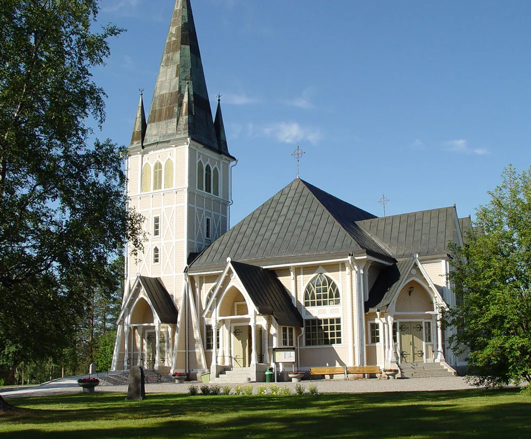 Arvidsjaur City, Arvidsjaur Municipality34 km S
-
Auktsjaur Village, Arvidsjaur Municipality24 km SE
-
Arjeplog Municipality, Arjeplog Municipality53 km W
-
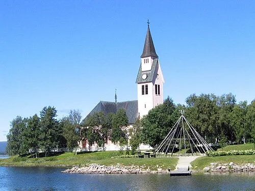 Arjeplog City, Arjeplog Municipality53 km W
-
Guojkkasuoluoj Village, Arjeplog Municipality49 km SW
Nearby attractions & nature
Everything nearby-
Suöbdiekvárrie Mountain, Arvidsjaur Municipality5.6 km N
-
Sáddiesvárrie Mountain, Arvidsjaur Municipality8.4 km SW
-
Tjalmiesvárrie Mountain, Arvidsjaur Municipality9.6 km SW
-
Storberget Mountain, Arvidsjaur Municipality11 km S
-
Brunkaberget Mountain, Arvidsjaur Municipality12 km NW
-
Kukkesvare Mountain, Arvidsjaur Municipality14 km NW
-
Gasska Gaŋssjávárrie Mountain, Arvidsjaur Municipality14 km NW
-
Ruovdátje Mountain, Arvidsjaur Municipality15 km S
Sources & licences
Data last updated: · 2 independent sources